Towns & cities · West Midlands
Little Malvern
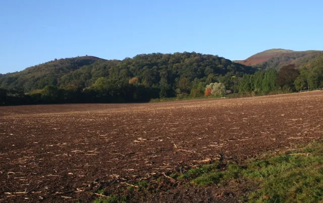
Little Malvern — village in Worcestershire, England, UK.

Wikimedia Commons contributors — see linked file page for photographer and licence licence
Plan your visit
- Typical visit
- 3 h–6 h
- Nearest railway station
- Colwall · 2.4 km
- Free entry
- Family-friendly
- Dog-friendly
About
Little Malvern is a town, city, village or settlement in the United Kingdom. Recent population estimates put it at around 44 people. Address: WR14. Wikidata describes it as: "village in Worcestershire, England, UK". Coordinates: 52.0618°, -2.3371°.
Photo gallery
Protected designations
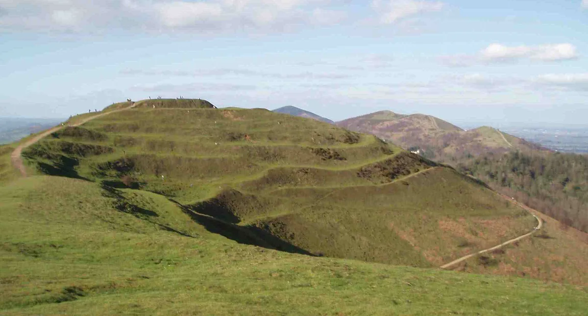
- Site of Special Scientific Interest: The Malvern Hills SSSI
- Area of Outstanding Natural Beauty: Cotswolds
- Area of Outstanding Natural Beauty: Malvern Hills
Designations sourced from Natural England open data under OGL v3.
From the Wikipedia article
Little Malvern is a small village and civil parish in Worcestershire, England. It is situated on the lower slopes of the Malvern Hills, south of Malvern Wells, near Great Malvern, the major centre of the area often referred to as The Malverns. Little Malvern shares a parish council with Welland, with 2 of the 11 councillors.
Excerpt from Wikipedia under CC BY-SA 4.0. See the source article linked in Sources below.
Background
History
The village contains a Romanesque church called Little Malvern Priory, after a Benedictine monastery that existed on the site c.1171-1537. Next to the church is the historic house, Little Malvern Court, home to the Berington family for over four centuries. The gardens of Little Malvern court are occasionally open to the public. According to a book published in 1848, an important find of brass Roman coins was unexpectedly made in 1847 in Little Malvern by a Mr Commissioner Mayne and his sons who were out walking in search of geological items of interest.
Sourced from Wikipedia under CC BY-SA 4.0.
- Coordinates
- 52.0618, -2.3371
- County
- Worcestershire
- District
- Malvern Hills
- Parish
- Little Malvern
- Postcode
- WR14
- Parliamentary constituency
- West Worcestershire
- Population
- 44
- Nearest railway station
- Colwall — 2.4 km
Sources
- wikidata: Q576836 (CC0)
- wikipedia: Little Malvern (CC BY-SA 4.0)
- commons: Little Malvern - geograph.org.uk - 529729.jpg (CC BY-SA 4.0)
Other places nearby
Loading nearby places…
Nearby
 📷 4
📷 4Abbeys & priories · West Midlands
Little Malvern Priory
Little Malvern Priory — a Grade I-listed abbey in england-west-midlands, United Kingdom.
 📷 3
📷 3Memorials & monuments · West Midlands
Sir Edward Elgar's Grave
Sir Edward Elgar's Grave — a memorial in england-west-midlands, United Kingdom.
 📷 3
📷 3Mountains & hills · West Midlands
Tinker's Hill
Tinker's Hill — Named summit at 213 m.
Vineyards · West Midlands
Herefordshire Beacon Camp
Herefordshire Beacon Camp — a UK vineyard in england west midlands, producing English or Welsh wine from cool-climate grape varieties.
Mountains & hills · West Midlands
Herefordshire Beacon
Herefordshire Beacon — Named summit at 338 m.
 📷 3
📷 3Castles · West Midlands
British Camp
British Camp — former castle in Herefordshire, England, UK.
More towns in this region
 Flagship📷 3
Towns & cities · West Midlands
Adderbury
Adderbury — village and civil parish in Cherwell district, Oxfordshire, England.
 Flagship📷 3
Towns & cities · West Midlands
Admington
Admington — village in Warwickshire, England, UK.
 Flagship📷 3
Towns & cities · West Midlands
Aldington
Aldington — village in Worcestershire, United Kingdom.
 Flagship📷 5
Towns & cities · West Midlands
Anstey
Anstey — large village in Leicestershire, England.
Frequently asked questions
- Where is Little Malvern?
- Little Malvern is in Worcestershire, the West Midlands, United Kingdom (postcode WR14), in the parish of Little Malvern.
- Is Little Malvern a protected site?
- Yes — Little Malvern is part of the The Malvern Hills SSSI Site of Special Scientific Interest and the Cotswolds National Landscape (AONB).
- Is Little Malvern free to visit?
- Yes, Little Malvern is free to enter.
- How do I get to Little Malvern?
- The nearest railway station is Colwall, about 2.4 km away. Drivers can navigate to postcode WR14.