Museums · South East England
Lewes District
Lewes is a local government district in East Sussex, England. The district is named after the town of Lewes. The largest town is Seaford, and the council is based in Newhaven. The district also includ

Simon Carey — CC BY-SA 2.0 via Wikimedia Commons licence
Plan your visit
- Typical visit
- 1.5 h–3 h
- Best time of year
- Year-round
- Family-friendly
- Limited wheelchair access
About
Lewes is a local government district in East Sussex, England. The district is named after the town of Lewes. The largest town is Seaford, and the council is based in Newhaven. The district also includes the towns of Peacehaven and Telscombe and numerous villages and surrounding rural areas. The district lies on the south coast, and a large part of it lies within the South Downs National Park. The district covers an area of 113 sq mi (290 km2), with 9 miles (14.5 km) of coastline. Plumpton Racecourse is within the district. There are 28 parishes in the district. The neighbouring districts are Brighton and Hove, Mid Sussex and Wealden.
Photo gallery
From the Wikipedia article
Lewes is a local government district in East Sussex, England. The district is named after the town of Lewes. The largest town is Seaford, and the council is based in Newhaven. The district also includes the towns of Peacehaven and Telscombe and numerous villages and surrounding rural areas. The district lies on the south coast, and a large part of it lies within the South Downs National Park. The district covers an area of 113 sq mi (290 km2), with 9 miles (14.5 km) of coastline. Plumpton Racecourse is within the district. There are 28 parishes in the district. The neighbouring districts are Brighton and Hove, Mid Sussex and Wealden.
Excerpt from Wikipedia under CC BY-SA 4.0. See the source article linked in Sources below.
Background
History
The district was formed on 1 April 1974 under the Local Government Act 1972. The new district covered the area of four former districts, which were all abolished at the same time: The new district was named after Lewes, the ancient county town of Sussex. Since 2016 the council has shared a chief executive and other staff with nearby Eastbourne Borough Council.
Sourced from Wikipedia under CC BY-SA 4.0.
- Coordinates
- 50.8739, 0.0089
- County
- East Sussex
- District
- Lewes
- Parish
- Lewes
- Postcode
- BN7 1YJ
- Parliamentary constituency
- Lewes
Sources
- wikipedia: Lewes District (CC BY-SA 4.0)
Other places nearby
Loading nearby places…
Nearby
 📷 5
📷 5Castles · South East England
Lewes Castle - Barbican gate
Lewes Castle - Barbican gate — a castle in england-south-east, United Kingdom.
.jpg?width=1200) 📷 5
📷 5Historic houses · South East England
Barbican House Museum
Barbican House Museum — house museum next to Lewes castle, East Sussex, England, UK.
 📷 5
📷 5Memorials & monuments · South East England
Market Tower
Market Tower — Grade II listed building-listed memorial in england-south-east, United Kingdom.
 📷 5
📷 5Castles · South East England
Lewes Castle - Shell Keep
Lewes Castle - Shell Keep — a castle in england-south-east, United Kingdom.
 📷 5
📷 5Public art & sculpture · South East England
Lewes War Memorial
Lewes War Memorial in England South East, United Kingdom.
 📷 5
📷 5Castles · South East England
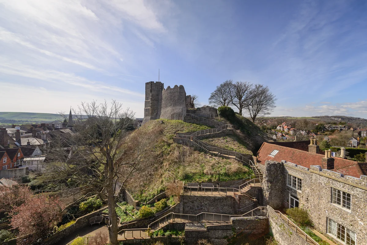
Lewes Castle
Lewes Castle — Grade I listed ruins in Lewes, United Kingdom.
More museums in this region
 📷 5
📷 5Museums · South East England
Adjutant General's Corps Museum
Adjutant General's Corps Museum — military museum in Winchester, Hampshire, England, United Kingdom.
 📷 5
📷 5Museums · South East England
Alexander Keiller Museum
Alexander Keiller Museum — museum in South West England, United Kingdom.
 📷 5
📷 5Museums · South East England
Amberley Museum
Amberley Museum — open-air industrial museum in West Sussex, United Kingdom.
 📷 5
📷 5Museums · South East England
American Museum and Gardens
American Museum and Gardens — culture and arts museum near Bath, England, United Kingdom.
Frequently asked questions
- Where is Lewes District?
- Lewes District is in East Sussex, South-East England, United Kingdom (postcode BN7 1YJ), in the parish of Lewes.
- Who owns Lewes District?
- Lewes District is owned by Lewes District Council.
- How do I get to Lewes District?
- Drivers can navigate to postcode BN7 1YJ. It sits within the Lewes parliamentary constituency.