Other places · West Midlands
Leicester urban area
Leicester urban area — a other in england-west-midlands, United Kingdom.

Roger Templeman — CC BY-SA 2.0 via Wikimedia Commons licence
Plan your visit
- Typical visit
- 1 h–2 h
- Limited wheelchair access
About
Leicester urban area is a other in england-west-midlands, United Kingdom, listed in the Wikipedia register of British heritage and tourism sites. See the linked Wikipedia article for full details.
Photo gallery
Place summary
Leicester urban area is located in the West Midlands. It is a significant metropolitan area known for its diverse population and rich cultural heritage. The area features a mix of modern developments and historical sites, reflecting its long-standing significance in the region.
AI-generated from the structured facts on this page (operator, designation, listing, era). Not a substitute for visiting.
- Coordinates
- 52.6300, -1.1300
- District
- Leicester
- Parish
- Leicester, unparished area
- Postcode
- LE1 7EA
- Parliamentary constituency
- Leicester South
- Official site
- www.leicestermuseums.org
Sources
- wikipedia: Leicester urban area (CC BY-SA 4.0)
Other places nearby
Loading nearby places…
Nearby
 📷 5
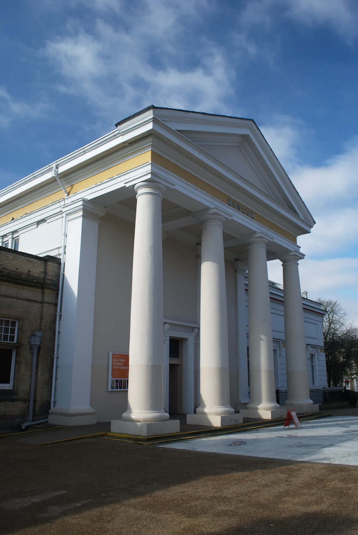
📷 5Museums · West Midlands
Leicester Museum & Art Gallery
Leicester Museum & Art Gallery — Museum in Leicester, England, United Kingdom.
 📷 5
📷 5Museums · West Midlands
Leicester Museum & Art Gallery
Leicester Museum & Art Gallery — a other in england-west-midlands, United Kingdom.
 📷 3
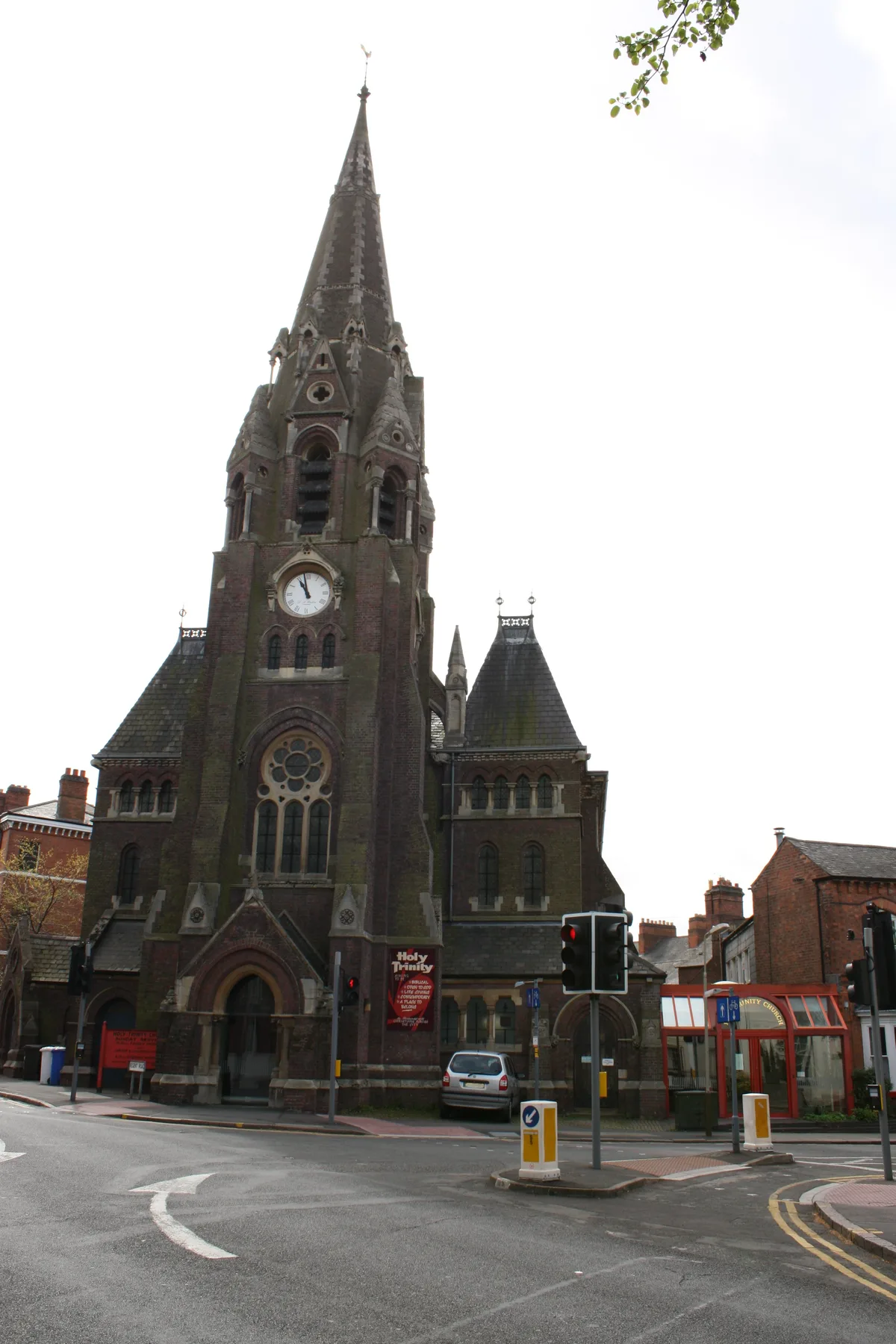
📷 3Historic churches · West Midlands
Holy Trinity Church, Leicester
Holy Trinity Church, Leicester — church in Leicester, United Kingdom.
 📷 3
📷 3Bowling alleys · West Midlands
East Street Lanes
East Street Lanes — a bowling in england-west-midlands, United Kingdom.
 📷 3
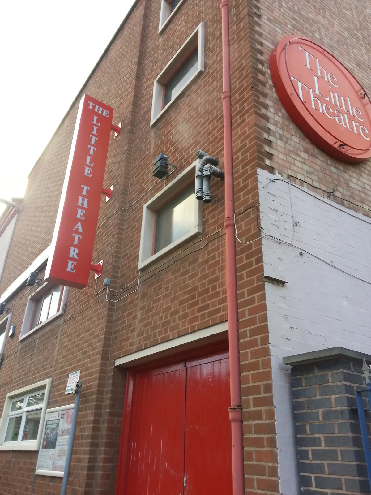
📷 3Theatres · West Midlands
The Little Theatre
The Little Theatre is a theatre in the United Kingdom.
 📷 4
📷 4Gardens · West Midlands
New Walk Centre
New Walk Centre — a garden in england-west-midlands, United Kingdom.
More places in this region
.jpg?width=1200) 📷 3
📷 3Other places · West Midlands
Abraham Darby
Abraham Darby — Public artwork (sculpture).
.jpg?width=1200) 📷 4
📷 4Other places · West Midlands
An even bigger splash (Aston Newtown Interchange)
An even bigger splash (Aston Newtown Interchange) — Public artwork (sculpture) by Mark Renn;Mick Thacker;Renn & Thacker Partnership.
 📷 3
📷 3Other places · West Midlands
Angle Ring Feature Steelwork
Angle Ring Feature Steelwork — Public artwork (sculpture) by Structural Stairways Ltd;Mark Worrall Associates.
 📷 3
📷 3Other places · West Midlands
Annealing Silhouette Wedge
Annealing Silhouette Wedge — Public artwork (sculpture) by Philip Bews;Diane Gorvin.
Frequently asked questions
- Where is Leicester urban area?
- Leicester urban area is in West Midlands, in the United Kingdom — coordinates 52.6300°, -1.1300°.
- Is Leicester urban area wheelchair accessible?
- Partially — OpenStreetMap notes limited wheelchair access at Leicester urban area. Check ahead for specific facilities.