Towns & cities · London
Leagrave
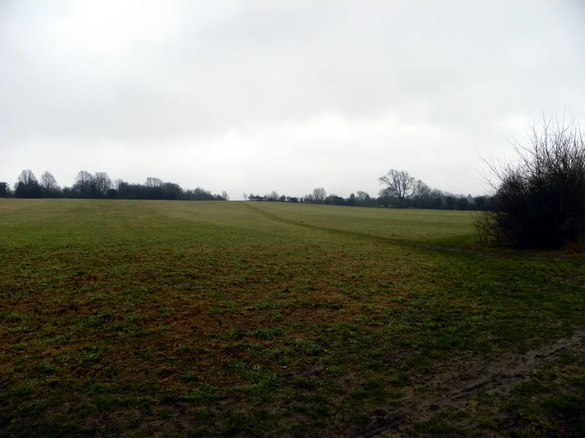
Leagrave — village and electoral ward in Luton, Bedfordshire, United Kingdom.

Wikimedia Commons contributors — see linked file page for photographer and licence licence
Plan your visit
- Typical visit
- 3 h–6 h
- Nearest railway station
- Leagrave · 0.6 km
- Free entry
- Family-friendly
- Dog-friendly
About
Leagrave is a town, city, village or settlement in the United Kingdom. Recent population estimates put it at around 12,910 people. Wikidata describes it as: "village and electoral ward in Luton, Bedfordshire, United Kingdom". Coordinates: 51.9030°, -0.4660°.
Photo gallery
Protected designations
- Area of Outstanding Natural Beauty: Chilterns
Designations sourced from Natural England open data under OGL v3.
From the Wikipedia article
Leagrave is a former village and now a suburb of Luton, in the ceremonial county of Bedfordshire, England; it lies in the north-west of the town. The current council ward is roughly bounded by Vincent Road, Torquay Drive and High Street to the north, Roman Road and Stoneygate Road to the south, the M1 to the west, and Marsh Road and Leagrave Park to the east.
Excerpt from Wikipedia under CC BY-SA 4.0. See the source article linked in Sources below.
Background
History
The first settlement in the area was Waulud's Bank which is a Neolithic D-shaped enclosure in Leagrave Park at the source of the River Lea and is now a protected monument. Waulud's bank consists of a bank and external ditch of around 7 hectares with a turf revetted chalk and gravel bank (built from the excavated ditch material). The ditch itself is about 9 m wide and 2 m deep. Finds at the site have included neolithic Grooved Ware and flint arrow heads. It is a similar site to Durrington Walls and Marden and the site was later re-used in the Iron Age and during the Roman occupation. The Icknield Way, a pre Roman road, passes through Leagrave. Local road names give away its location, 'Roman…
Sourced from Wikipedia under CC BY-SA 4.0.
- Coordinates
- 51.9030, -0.4660
- District
- Luton
- Parish
- Luton, unparished area
- Postcode
- LU4 9LL
- Parliamentary constituency
- Luton North
- Population
- 12,910
- Nearest railway station
- Leagrave — 0.6 km
- Official site
- web.archive.org
Sources
- wikidata: Q986066 (CC0)
- wikipedia: Leagrave (CC BY-SA 4.0)
- commons: StLukeschurchLeagrave.jpg (CC BY-SA 4.0)
Other places nearby
Loading nearby places…
Nearby
 📷 5
📷 5Historic churches · London
Faizan-e-Mushkil Kusha
Faizan-e-Mushkil Kusha — a church in england-london, United Kingdom.
 📷 5
📷 5Historic churches · London
Al Falah Community Centre
Al Falah Community Centre — a church in england-london, United Kingdom.
📷 5Historic churches · London
Hockwell Ring Masjid
Hockwell Ring Masjid — a church in england-london, United Kingdom.
 📷 5
📷 5Historic churches · London
Masjid Bilal
Masjid Bilal — a church in england-london, United Kingdom.
📷 5Historic churches · London
Masjid Bilal ... (Sunni)
Masjid Bilal ... (Sunni) — a church in england-london, United Kingdom.
 📷 5
📷 5Hill forts · London
Waulud's Bank
Waulud's Bank — archaeological site in Luton, Bedfordshire, England, UK.
More towns in this region
 Flagship📷 10
Towns & cities · London
Aldenham
Aldenham — village and civil parish in Hertfordshire, England.
 Flagship📷 10
Towns & cities · London
Ashdon
Ashdon — village and civil parish in Essex, UK.
 Flagship📷 10
Towns & cities · London
Betchworth
Betchworth — village and civil parish in the Mole Valley district of Surrey, England.
 Flagship📷 10
Towns & cities · London
Boxley
Boxley — village and civil parish in Maidstone District, Kent, England, UK.
Frequently asked questions
- Where is Leagrave?
- Leagrave is in London, United Kingdom (postcode LU4 9LL), in the parish of Luton, unparished area.
- Is Leagrave a protected site?
- Yes — Leagrave is part of the Chilterns National Landscape (AONB).
- Is Leagrave free to visit?
- Yes, Leagrave is free to enter.
- How do I get to Leagrave?
- The nearest railway station is Leagrave, about 0.6 km away. Drivers can navigate to postcode LU4 9LL.