Towns & cities · Scottish Lowlands
Leadhills
Leadhills — village in South Lanarkshire, Scotland, UK.

Wikimedia Commons contributors — see linked file page for photographer and licence licence
Plan your visit
- Typical visit
- 3 h–6 h
- Nearest railway station
- Leadhills · 0.6 km
- Free entry
- Family-friendly
- Dog-friendly
About
Leadhills is a town, city, village or settlement in the United Kingdom. Recent population estimates put it at around 315 people. Wikidata describes it as: "village in South Lanarkshire, Scotland, UK". Coordinates: 55.4162°, -3.7629°.
Photo gallery
From the Wikipedia article
Leadhills, originally settled for the accommodation of miners, is a village in South Lanarkshire, Scotland, 5+3⁄4 miles (9.3 km) WSW of Elvanfoot. The population in 1901 was 835. It was originally known as Waterhead. It is the second highest village in Scotland, the highest being neighbouring Wanlockhead, 2 miles (3 kilometres) south. It is near the source of Glengonnar Water, a tributary of the River Clyde.
Excerpt from Wikipedia under CC BY-SA 4.0. See the source article linked in Sources below.
- Coordinates
- 55.4162, -3.7629
- District
- South Lanarkshire
- Postcode
- ML12 6XU
- Parliamentary constituency
- Dumfriesshire, Clydesdale and Tweeddale
- Population
- 315
- Nearest railway station
- Leadhills — 0.6 km
- Official site
- www.leadhillsbears.com
Sources
- wikidata: Q1810466 (CC0)
- wikipedia: Leadhills (CC BY-SA 4.0)
- commons: Main Street, Leadhills - geograph.org.uk - 4708148.jpg (CC BY-SA 4.0)
Other places nearby
Loading nearby places…
Nearby
 📷 3
📷 3Memorials & monuments · Scottish Lowlands
James Stirling Memorial
James Stirling Memorial — a memorial in scotland-lowlands, United Kingdom.
 📷 3
📷 3Museums · Scottish Lowlands
Leadhills Miners Library
Leadhills Miners Library — a museum in scotland-lowlands, United Kingdom.
 📷 3
📷 3Gardens · Scottish Lowlands
Scots Mining Company House
Scots Mining Company House — a garden in scotland-lowlands, United Kingdom.
 📷 3
📷 3Memorials & monuments · Scottish Lowlands
William Symington Monument
William Symington Monument — a memorial in scotland-lowlands, United Kingdom.
 📷 3
📷 3Natural landmarks · Scottish Lowlands
Teddywood Bear Village
Teddywood Bear Village — a other in scotland-lowlands, United Kingdom.
 📷 5
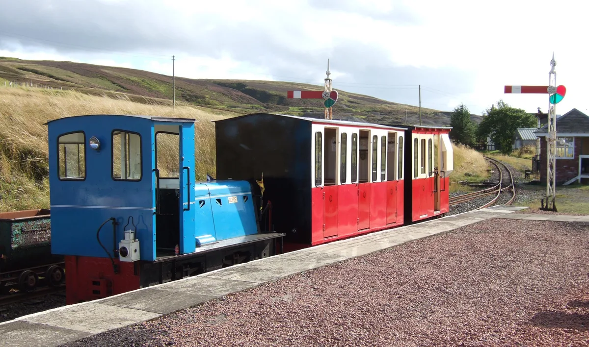
📷 5Heritage railways · Scottish Lowlands
Leadhills and Wanlockhead Railway
Leadhills and Wanlockhead Railway is a heritage railway in the United Kingdom.
More towns in this region
 Flagship📷 3
Towns & cities · Scottish Lowlands
Carlisle
Carlisle — city in Cumberland, Cumbria, England.
 Flagship📷 3
Towns & cities · Scottish Lowlands
Durham
Durham — city and the county town of County Durham in North East England.
 Flagship📷 5
Towns & cities · Scottish Lowlands
Newcastle upon Tyne
Newcastle upon Tyne — city in Tyne and Wear, England, UK.
 Flagship📷 3
Towns & cities · Scottish Lowlands
Sunderland
Sunderland — city in Tyne and Wear, North East England.
Frequently asked questions
- Where is Leadhills?
- Leadhills is in the Scottish Lowlands, United Kingdom (postcode ML12 6XU).
- Is Leadhills free to visit?
- Yes, Leadhills is free to enter.
- How do I get to Leadhills?
- The nearest railway station is Leadhills, about 0.6 km away. Drivers can navigate to postcode ML12 6XU.