Heritage railway stations · Mid Wales
Knighton
Also known as: Tref-y-clawdd
Knighton in Wales Mid, United Kingdom.

P L Chadwick — CC BY-SA 2.0 via Wikimedia Commons licence
_-_sign%2C_Wylcwm_Street%2C_Knighton%2C_Powys_-_geograph.org.uk_-_3224220.jpg)
Plan your visit
- Typical visit
- 1 h–2 h
- Free entry
About
Knighton is a place of interest in Wales Mid, United Kingdom — drawn from open-data sources for visitor reference. See the linked Wikipedia article for the full description.
Photo gallery
From the Wikipedia article
Knighton (Welsh: Tref-y-clawdd [trɛvəˈklauð] or Trefyclo) is a market town and community on the River Teme in Powys, Wales. It is located on the England–Wales border, and a small part of the town, including its railway station, lies over the border in the Shropshire parish of Stowe. Originally an Anglo-Saxon settlement, Knighton is located on Offa's Dyke, the ancient earthwork that divided the two countries. It later became a Norman defensive border town. It was historically in Radnorshire.
Excerpt from Wikipedia under CC BY-SA 4.0. See the source article linked in Sources below.
Background
History
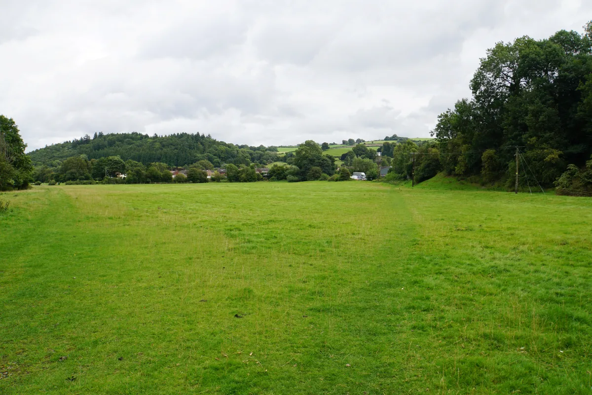
Knighton's earliest history is obscure, despite some local clues: Caer Caradoc (an Iron Age hill fort associated with Caradoc or Caractacus) is 2 mi away, off the road to Clun. Watling Street, a Roman road, passes a few miles to the east at Leintwardine. Any settlements in the Knighton area would have belonged to the Iron Age kingdom of Cornovii, which coincided with the modern counties of Cheshire, Shropshire, north Staffordshire, North Herefordshire, and parts of Powys and Worcestershire. Knighton includes a preserved section of Offa's Dyke. The parallel Wat's Dyke a few miles to the east, runs north and south along the English/Welsh border from Basingwerk near Holywell to Oswestry. Dykes…
Description
The town includes visible remains of two early castle mottes, one at Bryn-y-Castell and the other hidden behind the fire station and in a private garden. The Clock Tower was built in 1872 and is similar to those in Rhayader, Hay on Wye and Machynlleth. On the first Saturday in April the town normally holds an annual Carnival and Show, which attracts visitors from around the world, though it did not take place in 2020 due to COVID-19. Its two parades, one at midday and another around 8 pm, consist of various themed carnival floats with people in fancy dress. The show takes place at the town's showground at Bryn-y-Castell, which is also home to Knighton Town F.C., Knighton Cricket Club and…
Sourced from Wikipedia under CC BY-SA 4.0.
- Coordinates
- 52.3439, -3.0482
- District
- Powys
- Parish
- Knighton
- Postcode
- LD7 1AE
- Parliamentary constituency
- Brecon, Radnor and Cwm Tawe
Sources
- wikidata: Q2254730 (CC0)
- wikipedia: Knighton, Powys (CC BY-SA 4.0)
Featured in this guide
Other places nearby
Loading nearby places…
Nearby
 📷 3
📷 3Hill forts · Mid Wales
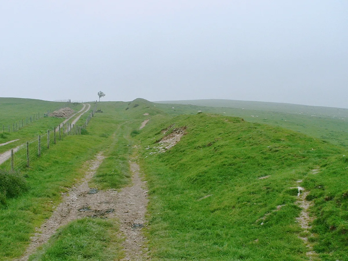
Offa's Dyke
Offa's Dyke — defensive earthworks on the border between Anglian (or 'English') Mercia and the Kingdom of Wales.
 📷 4
📷 4Other places · Mid Wales
Knighton Hospital
Knighton Hospital in Wales Mid, United Kingdom.
 📷 4
📷 4Other places · Mid Wales
Knighton Rural District
Knighton Rural District in Wales Mid, United Kingdom.
 📷 4
📷 4Other places · Mid Wales
Knighton Community Centre
Knighton Community Centre in Wales Mid, United Kingdom.
 📷 5
📷 5Historic churches · Mid Wales
Knighton and Knucklas English Baptist Church
Knighton and Knucklas English Baptist Church — Grade II listed building-listed church in wales-mid, United Kingdom.
 📷 3
📷 3Castles · Mid Wales
Bryn y Castell
Bryn y Castell — scheduled castle mound in Knighton, Powys, Wales, UK.
More places in this region
 📷 3
📷 3Heritage railway stations · Mid Wales
Bulmer's Woodpecker Statue
Bulmer's Woodpecker Statue — Public artwork (statue) by Walenty Pytel.
 📷 3
📷 3Heritage railway stations · Mid Wales
h.Apple
h.Apple — Public artwork (sculpture) by Ian Berrill.
 📷 5
📷 5Heritage railway stations · Mid Wales
Crymych
Crymych in Wales Mid, United Kingdom.
 📷 3
📷 3Heritage railway stations · Mid Wales
Glogue Halt railway station
Glogue Halt railway station in Wales Mid, United Kingdom.
Frequently asked questions
- Where is Knighton?
- Knighton is in Mid Wales, United Kingdom (postcode LD7 1AE), in the parish of Knighton.
- Is Knighton free to visit?
- Yes, Knighton is free to enter.
- How do I get to Knighton?
- Drivers can navigate to postcode LD7 1AE. It sits within the Brecon, Radnor and Cwm Tawe parliamentary constituency.