Towns & cities · London
Kings Langley
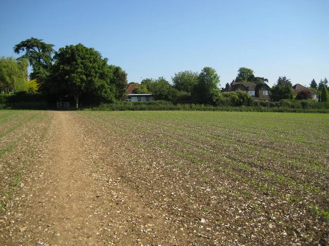
Kings Langley — village and civil parish in Hertfordshire, England.

Wikimedia Commons contributors — see linked file page for photographer and licence licence
Plan your visit
- Typical visit
- 3 h–6 h
- Nearest railway station
- Kings Langley · 1.7 km
- Free entry
- Family-friendly
- Dog-friendly
About
Kings Langley is a town, city, village or settlement in the United Kingdom. Recent population estimates put it at around 5,072 people. Address: WD4. Wikidata describes it as: "village and civil parish in Hertfordshire, England". Coordinates: 51.7156°, -0.4569°.
Photo gallery
Protected designations
- Area of Outstanding Natural Beauty: Chilterns
Designations sourced from Natural England open data under OGL v3.
From the Wikipedia article
Kings Langley is a village, former manor and civil parish in Hertfordshire, England. It is sited 23.5 miles (37.8 kilometres) north-west of London and to the south of the Chiltern Hills; it now forms part of the London commuter belt. The village is divided between two local government districts by the River Gade with the larger western portion in the Borough of Dacorum and smaller part, to the east of the river, in Three Rivers District. It was the location of Kings Langley Palace and the associated King's Langley Priory, of which few traces survive. It is situated 2 mi (3 km) south of Hemel Hempstead and 2 mi (3 km) north of Watford. The manor is first mentioned in surviving records as æt Langalege (Old English æt Langeleage) in a Saxon charter dated 1042–1049. It appears as Langelai in the Domesday Book (1086) and as Langel' Regis (“Langley of the King”) in 1254. The name means “long wood or clearing”. From the 11th to the 14th centuries the settlement is often recorded as “Chilterns Langley” to distinguish it from Abbots Langley; with increased royal involvement it is attested by 1346 as “Kyngeslangley” and by 1428 as “Langele Regis”.
Excerpt from Wikipedia under CC BY-SA 4.0. See the source article linked in Sources below.
Background
History
Archaeological evidence indicates continuous human activity in the Kings Langley area from the Lower Palaeolithic period. A Roman villa of the winged-corridor type, dated to the 2nd century AD, stood in the southern part of the present village, just east of the River Gade, between what is now the Roman Gardens housing estate and Home Park Industrial Estate, probably overlying an earlier 1st-century elite Catuvellauni residence. The site was first identified in 1825 during works for Kings Langley railway station, and was later largely excavated between June 1981 and March 1982. Identified features included a bath suite and hypocaust heating. The earliest known written reference to the manor…
Sourced from Wikipedia under CC BY-SA 4.0.
- Coordinates
- 51.7156, -0.4569
- County
- Hertfordshire
- District
- Dacorum
- Parish
- Kings Langley
- Postcode
- WD4
- Parliamentary constituency
- South West Hertfordshire
- Population
- 5,072
- Nearest railway station
- Kings Langley — 1.7 km
- Official site
- neighbourhood.statistics.gov.uk
Sources
- wikidata: Q19807 (CC0)
- wikipedia: Kings Langley (CC BY-SA 4.0)
- commons: Kings Langley High Street.jpg (CC BY-SA 4.0)
Other places nearby
Loading nearby places…
Nearby
 📷 5
📷 5Abbeys & priories · London
Priory
Priory — a abbey in england-london, United Kingdom.
📷 5Palaces · London
Plantagenate Royal Palace (site of)
Plantagenate Royal Palace (site of) — a palace in england-london, United Kingdom.
 📷 5
📷 5Palaces · London
Kings Langley Palace
Kings Langley Palace — former 13th-century Royal Palace in Kings Langley, Hertfordshire, England, UK.
 📷 5
📷 5Historic houses · London
Langley House
Langley House — house in Kings Langley, Dacorum, Hertfordshire, England, UK.
 📷 5
📷 5Memorials & monuments · London
Kings Langley War Memorial
Kings Langley War Memorial — Grade II listed building-listed memorial in england-london, United Kingdom.
 📷 5
📷 5Historic bridges · London
Nash Mills Railway Bridge
Nash Mills Railway Bridge is a historic bridge in the United Kingdom.
More towns in this region
 Flagship📷 10
Towns & cities · London
Aldenham
Aldenham — village and civil parish in Hertfordshire, England.
 Flagship📷 10
Towns & cities · London
Ashdon
Ashdon — village and civil parish in Essex, UK.
 Flagship📷 10
Towns & cities · London
Betchworth
Betchworth — village and civil parish in the Mole Valley district of Surrey, England.
 Flagship📷 10
Towns & cities · London
Boxley
Boxley — village and civil parish in Maidstone District, Kent, England, UK.
Frequently asked questions
- Where is Kings Langley?
- Kings Langley is in Hertfordshire, London, United Kingdom (postcode WD4), in the parish of Kings Langley.
- Is Kings Langley a protected site?
- Yes — Kings Langley is part of the Chilterns National Landscape (AONB).
- Is Kings Langley free to visit?
- Yes, Kings Langley is free to enter.
- How do I get to Kings Langley?
- The nearest railway station is Kings Langley, about 1.7 km away. Drivers can navigate to postcode WD4.