Towns & cities · Scottish Highlands
Killiecrankie
Killiecrankie — village in Perth and Kinross, Scotland, UK.

Wikimedia Commons contributors — see linked file page for photographer and licence licence
Plan your visit
- Typical visit
- 3 h–6 h
- Nearest railway station
- Blair Atholl · 4.9 km
- Free entry
- Family-friendly
- Dog-friendly
About
Killiecrankie is a town, city, village or settlement in the United Kingdom. Wikidata describes it as: "village in Perth and Kinross, Scotland, UK". Coordinates: 56.7450°, -3.7789°.
Photo gallery
From the Wikipedia article
Killiecrankie ( ; Scottish Gaelic: Coille Chreithnich, meaning "aspen wood") is a village in Perth and Kinross, Scotland on the River Garry. It lies at the Pass of Killiecrankie, by the A9 road which has been bypassed since 1986. The village is home to a power station forming part of the Tummel Hydro-Electric Power Scheme. Much of the riverbank is owned by the National Trust for Scotland. The nearby 10 arch railway viaduct, which runs for 109 yards (100 m) along the north-east bank of the River Garry, was built in 1863 from a design by Joseph Mitchell.
Excerpt from Wikipedia under CC BY-SA 4.0. See the source article linked in Sources below.
Background
History
In 1689, during the Jacobite Rebellion, the Battle of Killiecrankie was fought on the northern edge of the village. The Highland charge of the Jacobites took the government forces under General Hugh MacKay by surprise and completely overwhelmed them in only 10 minutes. Donald MacBean, one of William II of Scotland's supporters, having lost the contest, is said to have cleared the pass, from one bank to the other, at "The Soldier's Leap". One of the most famous leaders of the rebellion John Graham of Claverhouse, Viscount Dundee was killed in the battle. The battle is refenced in the 1816 Walter Scott novel Old Mortality. A Memorial Field to the fallen soldiers lies within the grounds of the…
Sourced from Wikipedia under CC BY-SA 4.0.
- Coordinates
- 56.7450, -3.7789
- District
- Perth and Kinross
- Postcode
- PH16 5GZ
- Parliamentary constituency
- Angus and Perthshire Glens
- Nearest railway station
- Blair Atholl — 4.9 km
Sources
- wikidata: Q1002159 (CC0)
- wikipedia: Killiecrankie (CC BY-SA 4.0)
- commons: Killiecrankie.jpg (CC BY-SA 4.0)
Other places nearby
Loading nearby places…
Nearby
 📷 3
📷 3Heritage railway stations · Scottish Highlands
Killiecrankie railway station
Killiecrankie railway station in Scotland Islands, United Kingdom.
 📷 5
📷 5Historic bridges · Scottish Highlands
Bridge Over River Garry, Killiecrankie
Bridge Over River Garry, Killiecrankie — category B listed building-listed bridge in scotland-highlands, United Kingdom.
 📷 4
📷 4Caves · Scottish Highlands
Pass of Killiecrankie
Pass of Killiecrankie in Scotland Islands, United Kingdom.
 📷 3
📷 3Viewpoints · Scottish Highlands
The Soldier's Leap
The Soldier's Leap is a viewpoint in the United Kingdom.
 📷 3
📷 3Memorials & monuments · Scottish Highlands
Viscount Dundee Memorial
Viscount Dundee Memorial — a memorial in scotland-highlands, United Kingdom.
 📷 5
📷 5Windmills · Scottish Highlands
Claverhouse's Stone, standing stone 200m S of House of Urrard
Claverhouse's Stone, standing stone 200m S of House of Urrard — a post mill in scotland-highlands, United Kingdom.
More towns in this region
 Flagship📷 3
Towns & cities · Scottish Highlands
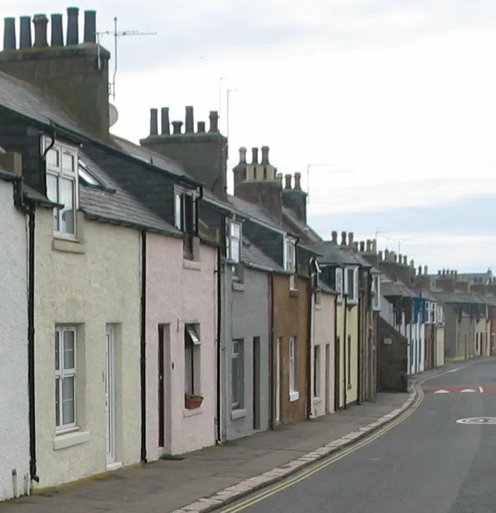
Cruden Bay
Cruden Bay — village in Aberdeenshire, Scotland, UK.
 Flagship📷 3
Towns & cities · Scottish Highlands
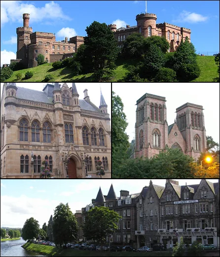
Inverness
Inverness — city in the Highlands of Scotland, United Kingdom.
 Flagship📷 3
Towns & cities · Scottish Highlands
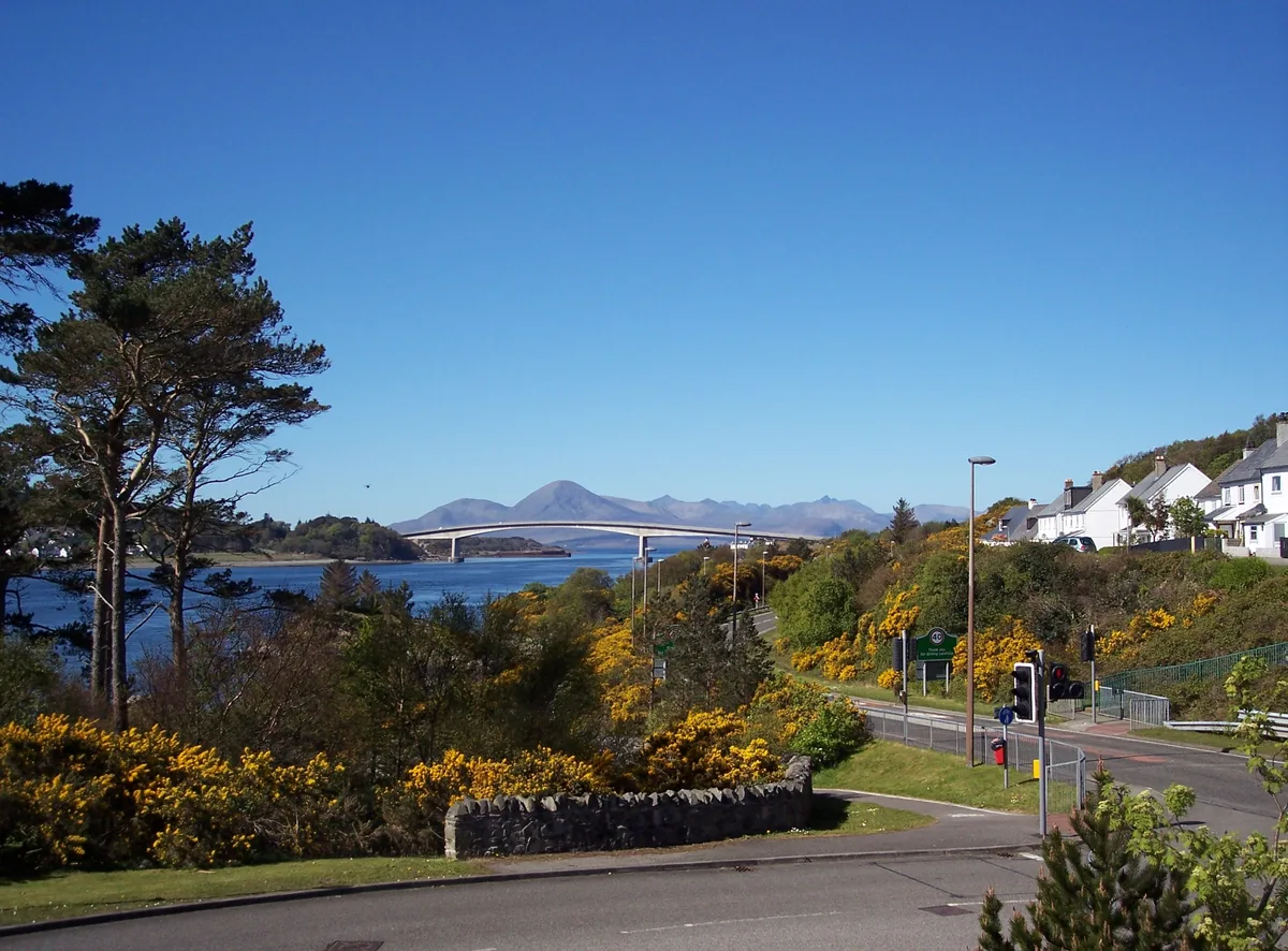
Kyle of Lochalsh
Kyle of Lochalsh — village in Highland, Scotland, UK.
 📷 4
📷 4Towns & cities · Scottish Highlands
Aberchirder
Aberchirder — village in Aberdeenshire, Scotland, UK.
Frequently asked questions
- Where is Killiecrankie?
- Killiecrankie is in the Scottish Highlands, United Kingdom (postcode PH16 5GZ).
- Is Killiecrankie free to visit?
- Yes, Killiecrankie is free to enter.
- How do I get to Killiecrankie?
- The nearest railway station is Blair Atholl, about 4.9 km away. Drivers can navigate to postcode PH16 5GZ.