Archaeological sites · Yorkshire & the Humber
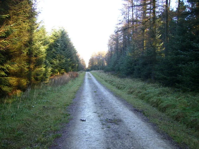
Kettle Howe
Kettle Howe — a archaeological in england-yorkshire, United Kingdom.

Milestone Society — CC BY-SA 2.0 via Wikimedia Commons licence
Plan your visit
- Typical visit
- 45 min–1.5 h
- Free entry
- Dog-friendly
About
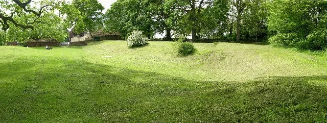
Kettle Howe is a archaeological located in england-yorkshire, United Kingdom. Sourced from OpenStreetMap (ODbL licence); see local listings for visitor information, opening hours and admission details.
Photo gallery
Place summary
Kettle Howe is an archaeological site located in Yorkshire. It is known for its significant historical findings, contributing to the understanding of the region's past.
AI-generated from the structured facts on this page (operator, designation, listing, era). Not a substitute for visiting.
- Coordinates
- 54.3729, -0.9441
- District
- North Yorkshire
- Parish
- Farndale East
- Postcode
- YO62 7LD
- Parliamentary constituency
- Thirsk and Malton
Sources
- osm: node/13324178295 (ODbL)
Other places nearby
Loading nearby places…
Nearby
 📷 3
📷 3Archaeological sites · Yorkshire & the Humber
Trattle Howe
Trattle Howe — a archaeological in england-yorkshire, United Kingdom.
 📷 3
📷 3Memorials & monuments · Yorkshire & the Humber
Karl Briggs
Karl Briggs — a memorial in england-yorkshire, United Kingdom.
Campsites · Yorkshire & the Humber
Low Bell End Farm Campsite
Low Bell End Farm Campsite — a campsite in england yorkshire.
 📷 3
📷 3Theatres · Yorkshire & the Humber
The Band Room
The Band Room is a theatre in the United Kingdom.
 📷 3
📷 3Historic bridges · Yorkshire & the Humber
Low Mill Bridge Over West Gill Beck
Low Mill Bridge Over West Gill Beck — Grade II listed building-listed bridge in england-yorkshire, United Kingdom.
 📷 3
📷 3Historic houses · Yorkshire & the Humber
Duck House
Duck House — house in Farndale East, Ryedale, England, UK.
More archaeological sites in this region
 📷 5
📷 5Archaeological sites · Yorkshire & the Humber
Dalby Forest
Dalby Forest — forest in North Yorkshire, England.
 📷 4
📷 4Archaeological sites · Yorkshire & the Humber
Dalton Parlours Roman villa and Iron Age settlement
Dalton Parlours Roman villa and Iron Age settlement — archaeological site in Collingham, Leeds, West Yorkshire, England, UK.
 📷 3
📷 3Archaeological sites · Yorkshire & the Humber
Derventio Brigantum
Derventio Brigantum — Roman fort located at present-day Malton, North Yorkshire, England, UK.
 📷 3
📷 3Archaeological sites · Yorkshire & the Humber
Field system including over 300 clearance cairns and two hut circles at Iron Howe
Field system including over 300 clearance cairns and two hut circles at Iron Howe — archaeological site in Hawnby, Ryedale, England, UK.
Frequently asked questions
- Where is Kettle Howe?
- Kettle Howe is in Yorkshire & the Humber, in the United Kingdom — coordinates 54.3729°, -0.9441°.
- Is Kettle Howe free to visit?
- Yes — admission to Kettle Howe is free.