Mountains & hills · North West England
Kentmere Pike
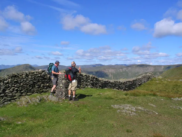
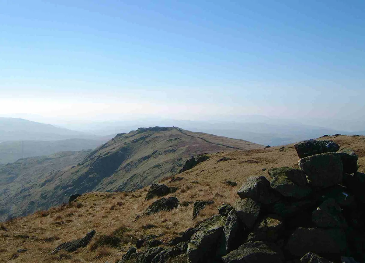
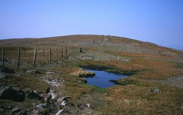
Kentmere Pike — Named summit at 730.5 m.

Wikimedia Commons contributors — see linked file page for photographer and licence licence
Plan your visit
- Typical visit
- 3 h–8 h
- Best time of year
- Late spring – early autumn (May–Oct)
- Nearest railway station
- Staveley · 9.7 km
- Free entry
- Dog-friendly
About
Kentmere Pike is a named summit in the United Kingdom. Wikidata describes it as: "Named summit at 730.5 m.". Coordinates: 54.4626°, -2.8260°.
Photo gallery
Protected designations
- Site of Special Scientific Interest: River Eden and Tributaries SSSI
Designations sourced from Natural England open data under OGL v3.
From the Wikipedia article
Kentmere Pike is a fell in the English Lake District, rising between the valleys of Kentmere and Longsleddale. It is the highpoint on the ridge between Harter Fell and Shipman Knotts.
Excerpt from Wikipedia under CC BY-SA 4.0. See the source article linked in Sources below.
- Coordinates
- 54.4626, -2.8260
- Address
- Cumbria, England
- Nearest railway station
- Staveley — 9.7 km
Sources
- osm: n560046341 (ODbL)
- wikipedia: Kentmere Pike (CC BY-SA 4.0)
- commons: Kentmere Pike.jpg (CC BY-SA 4.0)
Other places nearby
Loading nearby places…
Nearby
 📷 3
📷 3Natural landmarks · North West England
Kentmere Pike
Kentmere Pike — mountain in United Kingdom.
 📷 3
📷 3Public art & sculpture · North West England
Stoney the Inukshuk
Stoney the Inukshuk — a public art in england-north-west, United Kingdom.
 📷 3
📷 3Natural landmarks · North West England
Harter Fell
Harter Fell — mountain in Kentmere, Westmorland and Furness, Cumbria, England.
 📷 3
📷 3Natural landmarks · North West England
Shipman Knotts
Shipman Knotts — mountain in United Kingdom.
 📷 3
📷 3Mountains & hills · North West England
Harter Fell
Harter Fell — Named summit at 778 m.
 📷 3
📷 3Mountains & hills · North West England
Shipman Knotts
Shipman Knotts — Named summit at 587 m.
More mountains in this region
 📷 3
📷 3Mountains & hills · North West England
Allen Crags
Allen Crags — Named summit at 785 m.
 📷 3
📷 3Mountains & hills · North West England
Alum Pot
Alum Pot — Open shaft pothole in North Yorkshire.
 📷 3
📷 3Mountains & hills · North West England
Arnside Knott
Arnside Knott — Named summit at 159 m.
 📷 3
📷 3Mountains & hills · North West England
Aye Gill Pike
Aye Gill Pike — Named summit at 556.3 m.
Frequently asked questions
- Where is Kentmere Pike?
- Kentmere Pike is in North-West England, United Kingdom.
- Is Kentmere Pike a protected site?
- Yes — Kentmere Pike is part of the River Eden and Tributaries SSSI Site of Special Scientific Interest.
- Is Kentmere Pike free to visit?
- Yes, Kentmere Pike is free to enter.