Towns & cities · South East England
Kenardington
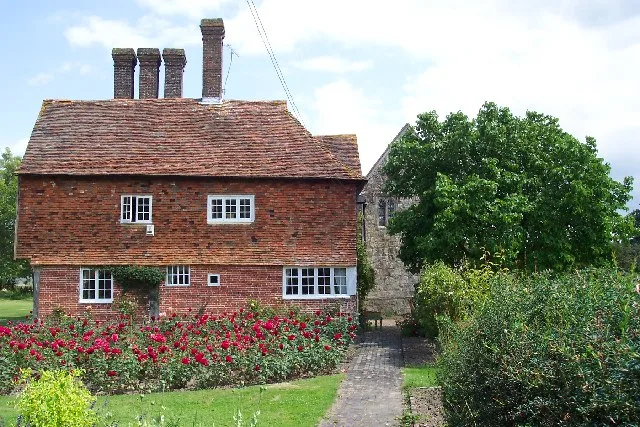
Kenardington — village and civil parish in Kent, United Kingdom.

Wikimedia Commons contributors — see linked file page for photographer and licence licence
Plan your visit
- Typical visit
- 3 h–6 h
- Nearest railway station
- Ham Street · 2.8 km
- Free entry
- Family-friendly
- Dog-friendly
About
Kenardington is a town, city, village or settlement in the United Kingdom. It covers approximately 7 km². Recent population estimates put it at around 210 people. Address: TN26. Wikidata describes it as: "village and civil parish in Kent, United Kingdom". Coordinates: 51.0623°, 0.8153°.
Photo gallery
Protected designations
- Area of Outstanding Natural Beauty: Kent Downs
Designations sourced from Natural England open data under OGL v3.
From the Wikipedia article
Kenardington is a small clustered village and the centre of a relatively small rural civil parish of the same name, in the Ashford District of Kent, England. The village is centred 8 miles (13 km) south-west of Ashford on the B2067 Hamstreet to Tenterden road.
Excerpt from Wikipedia under CC BY-SA 4.0. See the source article linked in Sources below.
- Coordinates
- 51.0623, 0.8153
- County
- Kent
- District
- Ashford
- Parish
- Kenardington
- Postcode
- TN26
- Parliamentary constituency
- Weald of Kent
- Population
- 210
- Nearest railway station
- Ham Street — 2.8 km
Sources
- wikidata: Q1936899 (CC0)
- wikipedia: Kenardington (CC BY-SA 4.0)
- commons: St Mary, Kenardington - geograph.org.uk - 934058.jpg (CC BY-SA 4.0)
Other places nearby
Loading nearby places…
Nearby
 📷 5
📷 5Historic houses · South East England
Leacon Hall
Leacon Hall — house in Warehorne, Ashford, England, UK.
 📷 5
📷 5Natural landmarks · South East England
Rare Breeds Centre
Rare Breeds Centre — a other in england-south-east, United Kingdom.
📷 5Farms (open to visitors) · South East England
Canterbury Oast Trust
Canterbury Oast Trust (COT) is a registered charity in England providing accommodation, care and training for people with learning disabilities, and autistic adults in Kent. Its public site is the Sou
 📷 5
📷 5Wildlife reserves · South East England
Orlestone Forest
Orlestone Forest — British nature reserve.
 📷 5
📷 5Chapels · South East England
Domestic chapel at Horne's Place
Domestic chapel at Horne's Place — chapel in Appledore, Kent, England, UK.
 📷 5
📷 5Public art & sculpture · South East England
Hamstreet Village Sign
Hamstreet Village Sign — a public art in england-south-east, United Kingdom.
More towns in this region
 Flagship📷 10
Towns & cities · South East England
Aldermaston
Aldermaston — village and civil parish in West Berkshire in England, UK.
 Flagship📷 10
Towns & cities · South East England
Aldingbourne
Aldingbourne — village and civil parish in Arun, West Sussex, UK.
 Flagship📷 10
Towns & cities · South East England
Aldington
Aldington — village and civil parish in the Ashford District of Kent, England.
 Flagship📷 10
Towns & cities · South East England
Aldworth
Aldworth — village and civil parish in the English county of Berkshire.
Frequently asked questions
- Where is Kenardington?
- Kenardington is in Kent, South-East England, United Kingdom (postcode TN26), in the parish of Kenardington.
- Is Kenardington a protected site?
- Yes — Kenardington is part of the Kent Downs National Landscape (AONB).
- Is Kenardington free to visit?
- Yes, Kenardington is free to enter.
- How do I get to Kenardington?
- The nearest railway station is Ham Street, about 2.8 km away. Drivers can navigate to postcode TN26.