Towns & cities · London
Kemsing
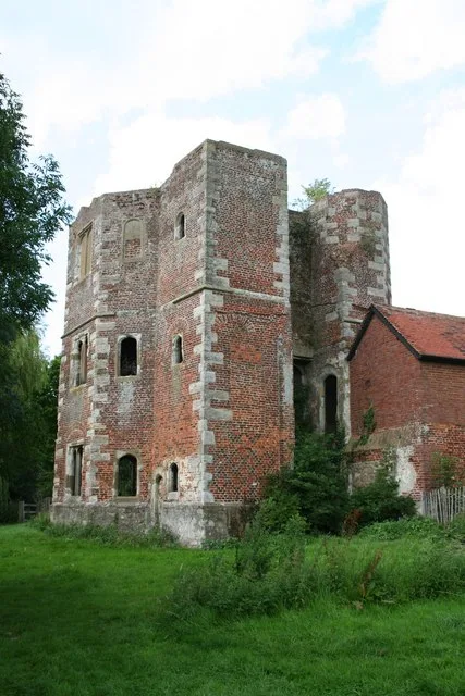
Kemsing — village and civil parish in Kent, United Kingdom.

Wikimedia Commons contributors — see linked file page for photographer and licence licence
Plan your visit
- Typical visit
- 3 h–6 h
- Nearest railway station
- Kemsing · 1.9 km
- Free entry
- Family-friendly
- Dog-friendly
About
Kemsing is a town, city, village or settlement in the United Kingdom. Recent population estimates put it at around 4,014 people. Wikidata describes it as: "village and civil parish in Kent, United Kingdom". Coordinates: 51.3071°, 0.2252°.
Photo gallery
Protected designations
- Area of Outstanding Natural Beauty: Kent Downs
Designations sourced from Natural England open data under OGL v3.
From the Wikipedia article
Kemsing is a village and civil parish in the Sevenoaks district of Kent, England. The parish lies on the scarp face of the North Downs, 20 miles south east of Central London and 4 miles (6 km) north east of Sevenoaks. Also in the parish there are the hamlets of Heaverham, 1 mile (2 km) to the east and Noah's Ark 0.5 miles (1 km) to the south. The population of the civil parish in 2001 was 4,014 persons, increasing to a population of 4,218 at the 2011 Census.
Excerpt from Wikipedia under CC BY-SA 4.0. See the source article linked in Sources below.
Background
History
Kemsing was the birthplace of Saint Edith of Wilton, a daughter of the Anglo-Saxon King Edgar I between 961 and 964. The well at the centre of the village is dedicated to her, a plaque on the wall recording the local legend that her saintly presence has given the water healing properties. The parish church, Saxon in origin, is dedicated to St Mary the Virgin. Another local legend states that the knights who murdered Archbishop Thomas Becket rode through Kemsing on their way to seek him out at Canterbury. Following his canonisation, Kemsing became a stop-off place on the Pilgrims' Way, along which pilgrims travelled to visit the saint's shrine at Canterbury Cathedral. The lordship of Kemsing…
Sourced from Wikipedia under CC BY-SA 4.0.
- Coordinates
- 51.3071, 0.2252
- County
- Kent
- District
- Sevenoaks
- Parish
- Kemsing
- Postcode
- TN15 6TG
- Parliamentary constituency
- Sevenoaks
- Population
- 4,014
- Nearest railway station
- Kemsing — 1.9 km
- Official site
- www.neighbourhood.statistics.gov.uk
Sources
- wikidata: Q947314 (CC0)
- wikipedia: Kemsing (CC BY-SA 4.0)
- commons: Kemsing St Mary.jpg (CC BY-SA 4.0)
Other places nearby
Loading nearby places…
Nearby
 📷 5
📷 5Memorials & monuments · London
Kemsing War Memorial
Kemsing War Memorial — Grade II listed building-listed memorial in england-london, United Kingdom.
 📷 5
📷 5Forests & woodlands · London
Kemsing Down Nature Reserve
Kemsing Down Nature Reserve is a forest or woodland in the United Kingdom.
 📷 5
📷 5Historic churches · London
St Michael's Preparatory School, Otford
St Michael's Preparatory School, Otford — a school heritage in england-london, United Kingdom.
 📷 5
📷 5Historic churches · London
Church of St Peter and St Paul, Seal
Church of St Peter and St Paul, Seal — church in Seal, Kent, England, UK.
 📷 5
📷 5Archaeological sites · London
Church Field Villa
Church Field Villa — a archaeological in england-london, United Kingdom.
 📷 5
📷 5Palaces · London
Otford Castle
Otford Castle — palace in Kent, England, UK.
More towns in this region
 Flagship📷 10
Towns & cities · London
Aldenham
Aldenham — village and civil parish in Hertfordshire, England.
 Flagship📷 10
Towns & cities · London
Ashdon
Ashdon — village and civil parish in Essex, UK.
 Flagship📷 10
Towns & cities · London
Betchworth
Betchworth — village and civil parish in the Mole Valley district of Surrey, England.
 Flagship📷 10
Towns & cities · London
Boxley
Boxley — village and civil parish in Maidstone District, Kent, England, UK.
Frequently asked questions
- Where is Kemsing?
- Kemsing is in Kent, London, United Kingdom (postcode TN15 6TG), in the parish of Kemsing.
- Is Kemsing a protected site?
- Yes — Kemsing is part of the Kent Downs National Landscape (AONB).
- Is Kemsing free to visit?
- Yes, Kemsing is free to enter.
- How do I get to Kemsing?
- The nearest railway station is Kemsing, about 1.9 km away. Drivers can navigate to postcode TN15 6TG.