Towns & cities · Central Scotland
Juniper Green
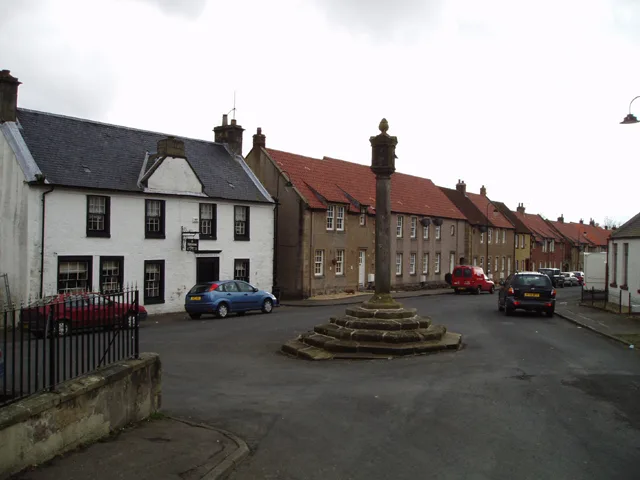
Juniper Green — village on the outskirts of Edinburgh, Scotland, UK.

Wikimedia Commons contributors — see linked file page for photographer and licence licence
Plan your visit
- Typical visit
- 3 h–6 h
- Nearest railway station
- Wester Hailes · 1.2 km
- Free entry
- Family-friendly
- Dog-friendly
About
Juniper Green is a town, city, village or settlement in the United Kingdom. Address: EH14. Wikidata describes it as: "village on the outskirts of Edinburgh, Scotland, UK". Coordinates: 55.9034°, -3.2869°.
Photo gallery
From the Wikipedia article
Juniper Green is a village on the outskirts of Edinburgh, Scotland, situated about 5.5 miles (8.9 km) south-west of the city centre. It bridges the city bypass, and extends along the foothills of the Pentlands. It is bordered by Colinton to the east, Baberton immediately to the north, and Currie to the south-west. It centres on Lanark Road, the main route leading out south-west of Edinburgh into the Central Borders. The village stands on an elevated ridge above the Water of Leith to its south. Administratively, Juniper Green falls within the jurisdiction of the City of Edinburgh Council having been officially absorbed into the city in 1920.
Excerpt from Wikipedia under CC BY-SA 4.0. See the source article linked in Sources below.
Background
History
Juniper Green's earliest mention is in the Kirk records of Colinton in 1707. However, it is largely called Curriemuirend up until the end of the 18th century and the area only really developed as a village from around 1810. Indeed Adair's map published in 1735 shows no sign of the village, nor does Laurie's more accurate map of 1766. Only one house in the village (Gowanlea) appears to predate 1810. Traditionally, its major industries were paper and snuff set in the river valley of the Water of Leith. Only with the building of the Balerno line with a station serving the village did it begin to prosper and expand. The line's closure in 1955 re-distanced the village from the city centre.…
Sourced from Wikipedia under CC BY-SA 4.0.
- Coordinates
- 55.9034, -3.2869
- District
- City of Edinburgh
- Postcode
- EH14
- Parliamentary constituency
- Edinburgh South West
- Nearest railway station
- Wester Hailes — 1.2 km
Sources
- wikidata: Q964410 (CC0)
- wikipedia: Juniper Green (CC BY-SA 4.0)
- commons: Juniper Green Parish Church - geograph.org.uk - 936189.jpg (CC BY-SA 4.0)
Other places nearby
Loading nearby places…
Nearby
 📷 3
📷 3Abbeys & priories · Central Scotland
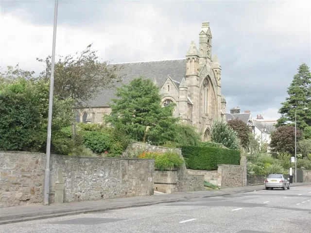
Juniper Green Parish Church
Juniper Green Parish Church — parish church in Edinburgh, Scotland, UK.
 📷 5
📷 5Historic bridges · Central Scotland
East Mills Bridge
East Mills Bridge — category B listed building-listed bridge in scotland-central, United Kingdom.
 📷 3
📷 3Historic bridges · Central Scotland
Blinkbonny Road
Blinkbonny Road is a historic bridge in the United Kingdom.
 📷 3
📷 3Historic churches · Central Scotland
Wester Hailes Baptist Church
Wester Hailes Baptist Church — church in Edinburgh, Scotland, UK.
 📷 3
📷 3Theatres · Central Scotland
Odeon Wester Hailes
Odeon Wester Hailes in Scotland Central, United Kingdom.
Cinemas · Central Scotland
ODEON MULTIPLEX CINEMA
ODEON MULTIPLEX CINEMA — a cinema in scotland central.
More towns in this region
 Flagship📷 3
Towns & cities · Central Scotland
Airth
Airth — village in Falkirk, Scotland, UK.
 Flagship📷 5
Towns & cities · Central Scotland
Avonbridge
Avonbridge — village in Falkirk, Scotland, UK.
 Flagship📷 3
Towns & cities · Central Scotland
Banknock
Banknock — village in Falkirk, Scotland, UK.
 Flagship📷 3
Towns & cities · Central Scotland
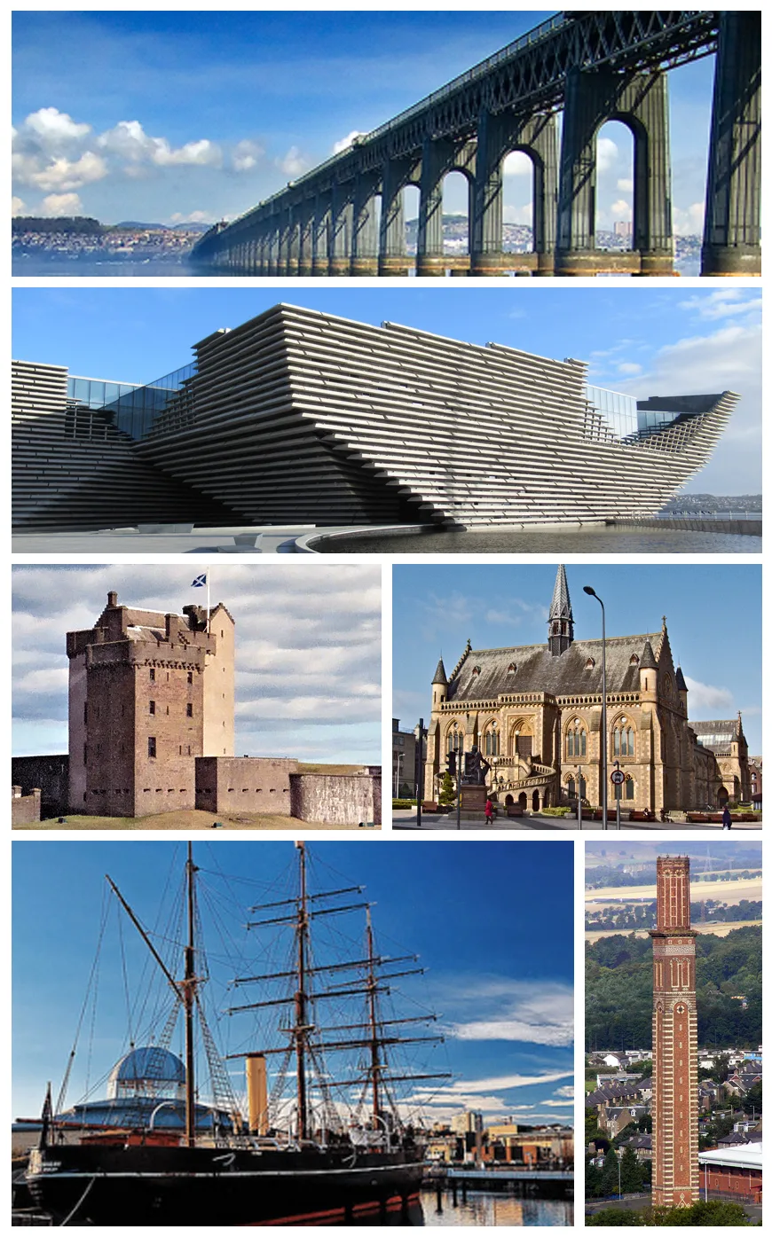
Dundee
Dundee — city in Scotland, UK.
Frequently asked questions
- Where is Juniper Green?
- Juniper Green is in central Scotland, United Kingdom (postcode EH14).
- Is Juniper Green free to visit?
- Yes, Juniper Green is free to enter.
- How do I get to Juniper Green?
- The nearest railway station is Wester Hailes, about 1.2 km away. Drivers can navigate to postcode EH14.