UNESCO World Heritage · West Midlands
Ironbridge Gorge
Ironbridge Gorge — canyon in The Gorge, Telford and Wrekin, Shropshire, England, UK.

Wikimedia Commons contributors — see linked file page for photographer and licence licence
.JPG)
Plan your visit
- Typical visit
- 2 h–4 h
- Nearest railway station
- Spring Village · 4.1 km
About
Ironbridge Gorge is inscribed on the UNESCO World Heritage List. Wikidata describes it as: "canyon in The Gorge, Telford and Wrekin, Shropshire, England, UK". Coordinates: 52.6264°, -2.4728°.
Photo gallery
From the Wikipedia article
The Ironbridge Gorge is a deep gorge, containing the River Severn in Shropshire, England. It was first formed by a glacial overflow from the long drained away Lake Lapworth, at the end of the last ice age. The deep exposure of the rocks cut through by the gorge exposed commercial deposits of coal, iron ore, limestone and fireclay, which enabled the rapid economic development of the area during the early Industrial Revolution. Originally called the Severn Gorge, the gorge now takes its name from its famous Iron Bridge, the first iron bridge of its kind in the world, and a monument to the industry that began there. The bridge was built in 1779 to link the industrial town of Broseley with the smaller mining town of Madeley and the growing industrial centre of Coalbrookdale. There are two reasons the site was so useful to the early industrialists. The raw materials, coal, iron ore, limestone and clay, for the manufacture of iron, tiles and porcelain are exposed or easily mined in the gorge. The deep and wide river allowed easy transport of products to the sea at the Bristol Channel.
Excerpt from Wikipedia under CC BY-SA 4.0. See the source article linked in Sources below.
Background
Description
The Gorge is a civil parish within the borough of Telford and Wrekin and the ceremonial county of Shropshire. It covers the part of Ironbridge Gorge that falls within the Telford and Wrekin Council Unitary Authority area and includes the settlements of Coalbrookdale, Coalport, Ironbridge, Jackfield and Lightmoor, but not Buildwas or Broseley which are in the Shropshire Council Unitary Authority area. It is divided into three parish wards: Coalport & Jackfield (2 councillors), Ironbridge Gorge (3 councillors) and Lightmoor (3 councillors). The Gorge Parish Council has its offices and holds its meetings at the Maws Craft Centre in Jackfield. The population of this civil parish at the 2011…
Sourced from Wikipedia under CC BY-SA 4.0.
- Coordinates
- 52.6264, -2.4728
- District
- Telford and Wrekin
- Parish
- The Gorge
- Postcode
- TF8 7HQ
- Parliamentary constituency
- Telford
- Nearest railway station
- Spring Village — 4.1 km
- Official site
- www.ironbridgegorge.com
Sources
- wikidata: Q647958 (CC0)
- wikipedia: Ironbridge Gorge (CC BY-SA 4.0)
- commons: The Iron Bridge (Aerial).JPG (CC BY-SA 4.0)
Featured in these 2 guides
Other places nearby
Loading nearby places…
Nearby
 📷 3
📷 3Historic bridges · West Midlands
Original Free Bridge
Original Free Bridge — a bridge in england-west-midlands, United Kingdom.
 📷 3
📷 3Archaeological sites · West Midlands
Bedlam Furnaces
Bedlam Furnaces — a archaeological in england-west-midlands, United Kingdom.
 📷 3
📷 3Natural landmarks · West Midlands
The Lloyds
The Lloyds — a other in england-west-midlands, United Kingdom.
 📷 5
📷 5Museums · West Midlands
Jackfield
Jackfield — a museum in england-west-midlands, United Kingdom.
 📷 3
📷 3Museums · West Midlands
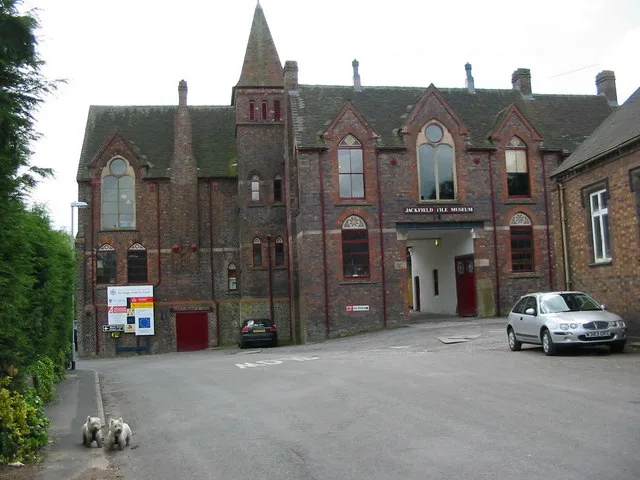
Jackfield Tile Museum
Jackfield Tile Museum — Museum of ceramic tile making, Shropshire, United Kingdom.
 📷 3
📷 3Memorials & monuments · West Midlands
Ironbridge War Memorial
Ironbridge War Memorial — Grade II listed building-listed memorial in england-west-midlands, United Kingdom.
More UNESCO sites in this region
 Flagship📷 4
UNESCO World Heritage · West Midlands
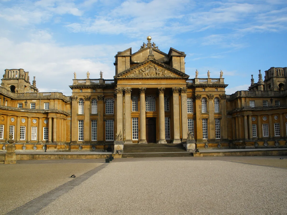
Blenheim Palace
Blenheim Palace — country house near Woodstock, Oxfordshire, England, UK.
 Flagship📷 5
UNESCO World Heritage · West Midlands
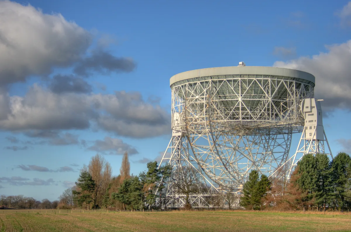
Jodrell Bank Observatory
Jodrell Bank Observatory — astronomical observatory in Cheshire, England, UK.
Frequently asked questions
- Where is Ironbridge Gorge?
- Ironbridge Gorge is in West Midlands, in the United Kingdom — coordinates 52.6264°, -2.4728°. The nearest railway station is Spring Village, around 4.1 km away.