Islands · Scottish Highlands
Inveruglas Isle
Inveruglas Isle — island in Argyll and Bute, Scotland, UK.

Wikimedia Commons contributors — see linked file page for photographer and licence licence
Plan your visit
- Typical visit
- 4 h–12 h
- Nearest railway station
- Arrochar and Tarbet · 5.1 km
- Free entry
- Dog-friendly
About
Inveruglas Isle is a island in the United Kingdom. Wikidata describes it as: "island in Argyll and Bute, Scotland, UK". Coordinates: 56.2489°, -4.7087°.
Photo gallery
From the Wikipedia article
Inveruglas Isle (Scottish Gaelic: Innis Inbhir Dhughlais) is a small uninhabited island within Loch Lomond, and lies off the shore at Inveruglas opposite Inversnaid at the north end of the loch. It is opposite the Loch Sloy powerstation. The name Inbhir Dhu(bh)ghlais means "mouth of the black stream"; Inveruglas Isle is therefore, quite literally, the island at the mouth of the black stream. The island houses the ruins of a castle which was once home to the chiefs of the Clan MacFarlane, destroyed in the seventeenth century by Oliver Cromwell's Roundhead troops.
Excerpt from Wikipedia under CC BY-SA 4.0. See the source article linked in Sources below.
- Coordinates
- 56.2489, -4.7087
- District
- Argyll and Bute
- Postcode
- G83 7DP
- Parliamentary constituency
- Argyll, Bute and South Lochaber
- Nearest railway station
- Arrochar and Tarbet — 5.1 km
Sources
- wikidata: Q47923 (CC0)
- wikipedia: Inveruglas Isle (CC BY-SA 4.0)
- commons: Inveruglas Isle.jpg (CC BY-SA 4.0)
Other places nearby
Loading nearby places…
Nearby
 📷 5
📷 5Castles · Scottish Highlands
Inveruglas Isle Castle
Inveruglas Isle Castle — scheduled monument-listed castle in scotland-highlands, United Kingdom.
 📷 5
📷 5Historic bridges · Scottish Highlands
Bridge, Sloy Power Station, Inveruglas
Bridge, Sloy Power Station, Inveruglas — category C listed building-listed bridge in scotland-highlands, United Kingdom.
 📷 3
📷 3Viewpoints · Scottish Highlands
An Ceann Mòr - Inveruglas Pyramid
An Ceann Mòr - Inveruglas Pyramid is a viewpoint in the United Kingdom.
Campsites · Scottish Highlands
Inveruglas camping permit area March-September
Inveruglas camping permit area March-September — a campsite in scotland highlands.
 📷 4
📷 4Islands · Scottish Highlands
Wallace's Isle
Wallace's Isle — island in Loch Lomond, Argyll and Bute, Scotland, UK.
 📷 5
📷 5National parks · Scottish Highlands
Inveruglas
Inveruglas in Scotland Islands, United Kingdom.
More places in this region
 📷 5
📷 5Islands · Scottish Highlands
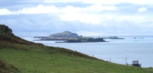
Bac Beag
Bac Beag — Scottish island, part of the Treshnish Isles in the Inner Hebrides.
 📷 5
📷 5Islands · Scottish Highlands
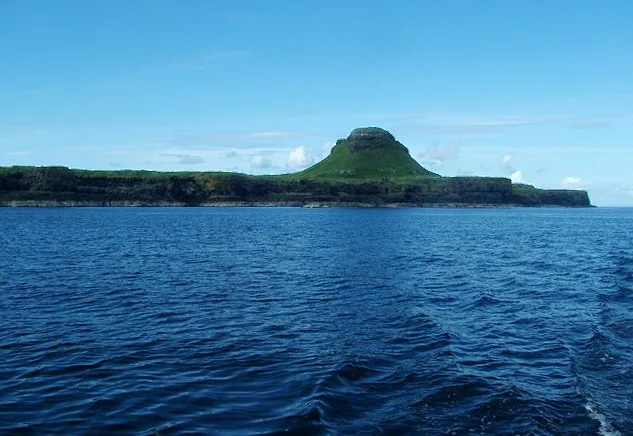
Bac Mòr
Bac Mòr — island in Argyll and Bute, Scotland, UK, one of the Treshnish Isles.
 Flagship📷 3
Islands · Scottish Highlands
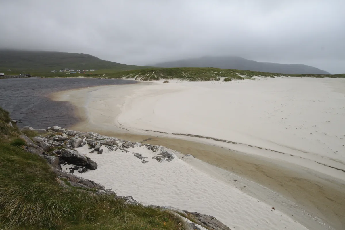
Baleshare
Baleshare — flat tidal island in the Outer Hebrides, Scotland, UK.
 Flagship📷 5
Islands · Scottish Highlands
Barra
Barra — island in Outer Hebrides, Scotland, UK.
Frequently asked questions
- Where is Inveruglas Isle?
- Inveruglas Isle is in the Scottish Highlands, United Kingdom (postcode G83 7DP).
- Is Inveruglas Isle free to visit?
- Yes, Inveruglas Isle is free to enter.
- How do I get to Inveruglas Isle?
- The nearest railway station is Arrochar and Tarbet, about 5.1 km away. Drivers can navigate to postcode G83 7DP.