Mountains & hills · North West England
Ill Crag
Ill Crag — Named summit at 930.9 m.

Wikimedia Commons contributors — see linked file page for photographer and licence licence
Plan your visit
- Typical visit
- 3 h–8 h
- Best time of year
- Late spring – early autumn (May–Oct)
- Nearest railway station
- Dalegarth · 8.3 km
- Free entry
- Dog-friendly
About
Ill Crag is a named summit in the United Kingdom. Wikidata describes it as: "Named summit at 930.9 m.". Coordinates: 54.4556°, -3.1997°.
Photo gallery
Protected designations
- Site of Special Scientific Interest: Scafell Pikes SSSI
Designations sourced from Natural England open data under OGL v3.
From the Wikipedia article
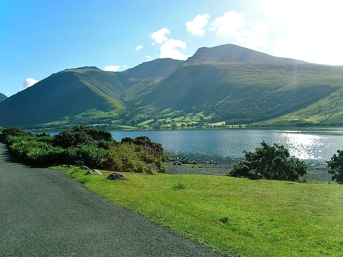
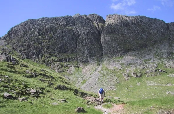
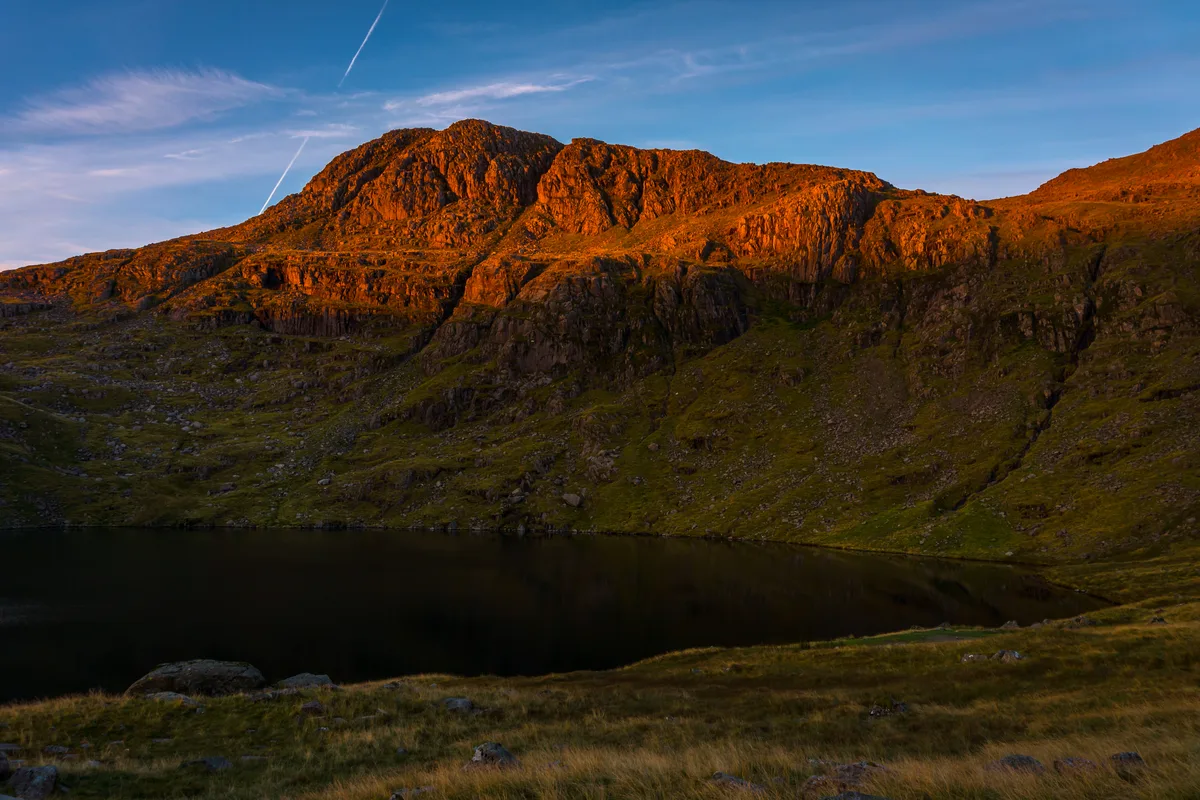
Ill Crag is a fell in the English Lake District. At 935 metres (3,068 ft), it is the fourth-highest peak in England, after Scafell Pike, Sca Fell, and Helvellyn. Ill Crag overlooks Eskdale and has splendid views across to Bowfell and Crinkle Crags.
Excerpt from Wikipedia under CC BY-SA 4.0. See the source article linked in Sources below.
- Coordinates
- 54.4556, -3.1997
- Address
- Lake District, England
- Nearest railway station
- Dalegarth — 8.3 km
Sources
- osm: n698522660 (ODbL)
- wikipedia: Ill Crag (CC BY-SA 4.0)
- commons: On the Ill Crag plateau - geograph.org.uk - 1705902.jpg (CC BY-SA 4.0)
Other places nearby
Loading nearby places…
Nearby
 📷 3
📷 3Natural landmarks · North West England
Broad Crag
Broad Crag — mountain in United Kingdom.
 📷 3
📷 3Natural landmarks · North West England
Scafell Pike
Scafell Pike — highest mountain in England.
 📷 3
📷 3Mountains & hills · North West England
Scafell Pike
Scafell Pike — Named summit at 978.07 m.
 📷 3
📷 3Natural landmarks · North West England
Great End
Great End — mountain in the Scafell chain, in the English Lake District.
 📷 3
📷 3Mountains & hills · North West England
Great End
Great End — Named summit at 909.5 m.
 📷 3
📷 3Natural landmarks · North West England
Esk Pike
Esk Pike is a natural landmark in the United Kingdom.
More mountains in this region
 📷 3
📷 3Mountains & hills · North West England
Allen Crags
Allen Crags — Named summit at 785 m.
 📷 3
📷 3Mountains & hills · North West England
Alum Pot
Alum Pot — Open shaft pothole in North Yorkshire.
 📷 3
📷 3Mountains & hills · North West England
Arnside Knott
Arnside Knott — Named summit at 159 m.
 📷 3
📷 3Mountains & hills · North West England
Aye Gill Pike
Aye Gill Pike — Named summit at 556.3 m.
Frequently asked questions
- Where is Ill Crag?
- Ill Crag is in North-West England, United Kingdom.
- Is Ill Crag a protected site?
- Yes — Ill Crag is part of the Scafell Pikes SSSI Site of Special Scientific Interest.
- Is Ill Crag free to visit?
- Yes, Ill Crag is free to enter.