Towns & cities · West Midlands
Husborne Crawley
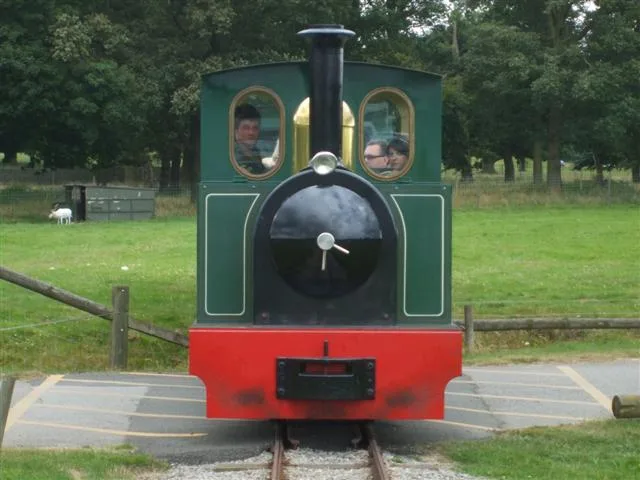
Husborne Crawley — small village and civil parish in Bedfordshire, England.

Wikimedia Commons contributors — see linked file page for photographer and licence licence
Plan your visit
- Typical visit
- 3 h–6 h
- Nearest railway station
- Ridgmont · 1.7 km
- Free entry
- Family-friendly
- Dog-friendly
About
Husborne Crawley is a town, city, village or settlement in the United Kingdom. Recent population estimates put it at around 217 people. Address: MK43. Wikidata describes it as: "small village and civil parish in Bedfordshire, England". Coordinates: 52.0113°, -0.6016°.
Photo gallery
From the Wikipedia article
Husborne Crawley is a small village and civil parish in Bedfordshire, England, located close to Junction 13 of the M1 motorway. The village touches the borders of the Woburn Abbey estate on one side, and the village of Aspley Guise on the other. The meaning of the Husborne element of the towns name is "warrior stream" and the Crawley element means "crow clearing". It appears as Hussheburn Crawele, in 1421.
Excerpt from Wikipedia under CC BY-SA 4.0. See the source article linked in Sources below.
Background
History
The parish is first mentioned in a document of 969 setting out the boundaries of Aspley Guise, by its original name of Hysseburnan. Within the Domesday Book which was commissioned by William the Conqueror (1066–1087), found that the parish of Husborne Crawley was divided into two manors. The parish was still considered two areas in the Middle Ages, one called Crawley and the other Husborne Crawley, the first was considered to be in the south part of the parish and the other to be the northern part. The parish of covers an area of 1,610½ acres, with a large portion (863 acres) of it being open grassland and also a large amount of arable land (414 acres).
Sourced from Wikipedia under CC BY-SA 4.0.
- Coordinates
- 52.0113, -0.6016
- District
- Central Bedfordshire
- Parish
- Husborne Crawley
- Postcode
- MK43
- Parliamentary constituency
- Mid Bedfordshire
- Population
- 217
- Nearest railway station
- Ridgmont — 1.7 km
Sources
- wikidata: Q1520285 (CC0)
- wikipedia: Husborne Crawley (CC BY-SA 4.0)
- commons: Husborne Crawley - geograph.org.uk - 147368.jpg (CC BY-SA 4.0)
Other places nearby
Loading nearby places…
Nearby
 📷 3
📷 3Memorials & monuments · West Midlands
Hampden AD854 Crash Memorial
Hampden AD854 Crash Memorial — a memorial in england-west-midlands, United Kingdom.
 Flagship📷 5
Zoos & aquariums · West Midlands
Woburn Safari Park
Woburn Safari Park — safari park located in Woburn, Bedfordshire, England.
Cinemas · West Midlands
Lion Cove 3D Cinema
Lion Cove 3D Cinema — a cinema in england west midlands.
 📷 5
📷 5Memorials & monuments · West Midlands
Ridgmont Water Tower South South East Of All Saints' Church
Ridgmont Water Tower South South East Of All Saints' Church — a water tower in england-west-midlands, United Kingdom.
 📷 3
📷 3Memorials & monuments · West Midlands
Aspley Guise War Memorial
Aspley Guise War Memorial is a memorial in the United Kingdom.
 📷 3
📷 3Heritage railways · West Midlands
Great Woburn Railway
Great Woburn Railway is a heritage railway in the United Kingdom.
More towns in this region
 Flagship📷 3
Towns & cities · West Midlands
Adderbury
Adderbury — village and civil parish in Cherwell district, Oxfordshire, England.
 Flagship📷 3
Towns & cities · West Midlands
Admington
Admington — village in Warwickshire, England, UK.
 Flagship📷 3
Towns & cities · West Midlands
Aldington
Aldington — village in Worcestershire, United Kingdom.
 Flagship📷 5
Towns & cities · West Midlands
Anstey
Anstey — large village in Leicestershire, England.
Frequently asked questions
- Where is Husborne Crawley?
- Husborne Crawley is in the West Midlands, United Kingdom (postcode MK43), in the parish of Husborne Crawley.
- Is Husborne Crawley free to visit?
- Yes, Husborne Crawley is free to enter.
- How do I get to Husborne Crawley?
- The nearest railway station is Ridgmont, about 1.7 km away. Drivers can navigate to postcode MK43.