Forests & woodlands · West Midlands
Hurst Hill
Hurst Hill is a forest or woodland in the United Kingdom.
.jpg?width=1200)
Wikimedia Commons contributors — see linked file page for photographer and licence licence
.jpg)
Plan your visit
- Typical visit
- 1 h–3 h
- Nearest railway station
- Oxford · 3.6 km
- Free entry
- Family-friendly
- Dog-friendly
About
Hurst Hill is a named forest, woodland or nature reserve in the United Kingdom. Coordinates: 51.7344°, -1.3116°. This entry is part of The Great Britain Guide, a free, ad-free, open-data tourist directory.
Photo gallery
Protected designations
- Site of Special Scientific Interest: Hurst Hill SSSI
Designations sourced from Natural England open data under OGL v3.
From the Wikipedia article
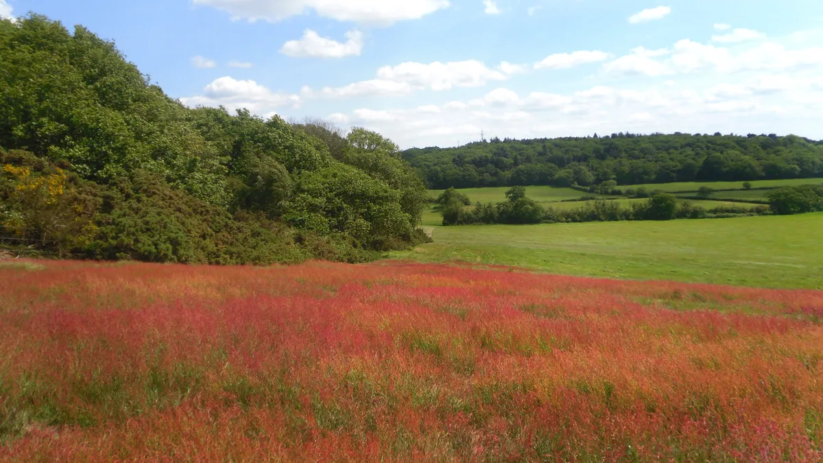
Hurst Hill or Cumnor Hurst is a 20.6-hectare (51-acre) biological and geological Site of Special Scientific Interest west of Oxford in Oxfordshire. It is a Geological Conservation Review site. The site is owned by All Souls College, Oxford, and its mosses and liverworts have been monitored for more than fifty years. The hill is also important geologically. In 1879 a fossil of a Camptosaurus prestwichii, a large herbivorous dinosaur dating to the Upper Jurassic 153 million years ago, was found on the site. The fossil belongs to a typically North African genus, and provides evidence of a land bridge across the proto-Atlantic in the Late Jurassic. The hill is mentioned in Matthew Arnold's poem The Scholar Gipsy.
Excerpt from Wikipedia under CC BY-SA 4.0. See the source article linked in Sources below.
- Coordinates
- 51.7344, -1.3116
- County
- Oxfordshire
- District
- Vale of White Horse
- Parish
- Cumnor
- Postcode
- OX2 9RX
- Parliamentary constituency
- Oxford West and Abingdon
- Nearest railway station
- Oxford — 3.6 km
- Official site
- www.ocv.org.uk
Sources
- osm: r11651104 (ODbL)
- wikipedia: Hurst Hill, Oxfordshire (CC BY-SA 4.0)
- commons: Red Field on Hurst Hill (geograph 2427637).jpg (CC BY-SA 4.0)
Other places nearby
Loading nearby places…
Nearby
 📷 5
📷 5Mountains & hills · West Midlands
Hurst Hill
Hurst Hill — Named summit at 158 m.
Campsites · West Midlands
Youlbury Scout Activity Centre
Youlbury Scout Activity Centre — a campsite in england west midlands.
 📷 3
📷 3Viewpoints · West Midlands
Eye-wash Hill
Eye-wash Hill is a viewpoint in the United Kingdom.
 📷 3
📷 3Parks · West Midlands
Raleigh Park, Oxfordshire
Raleigh Park, Oxfordshire — park in Oxfordshire, England.
 📷 5
📷 5Towns & cities · West Midlands
Boars Hill
Boars Hill — village in Oxfordshire, United Kingdom.
Memorials & monuments · West Midlands
The Cross of Sacrifice
The Cross of Sacrifice — a memorial in england-west-midlands, United Kingdom.
More forests in this region
 📷 3
📷 3Forests & woodlands · West Midlands
Abington Meadows Nature Reserve
Abington Meadows Nature Reserve is a forest or woodland in the United Kingdom.
_(geograph_2935627).jpg?width=1200) 📷 3
📷 3Forests & woodlands · West Midlands
Adderbury Lakes
Adderbury Lakes is a forest or woodland in the United Kingdom.
 📷 3
📷 3Forests & woodlands · West Midlands
Alcott Wood
Alcott Wood is a forest or woodland in the United Kingdom.
 📷 3
📷 3Forests & woodlands · West Midlands
Alvecote Meadows Nature Reserve
Alvecote Meadows Nature Reserve is a forest or woodland in the United Kingdom.
Frequently asked questions
- Where is Hurst Hill?
- Hurst Hill is in Oxfordshire, the West Midlands, United Kingdom (postcode OX2 9RX), in the parish of Cumnor.
- Is Hurst Hill a protected site?
- Yes — Hurst Hill is part of the Hurst Hill SSSI Site of Special Scientific Interest.
- Is Hurst Hill free to visit?
- Yes, Hurst Hill is free to enter.
- How do I get to Hurst Hill?
- The nearest railway station is Oxford, about 3.6 km away. Drivers can navigate to postcode OX2 9RX.