Cemeteries · Yorkshire & the Humber
Howden Cemetery
Also known as: Howden
Howden Cemetery is a cemetery in the United Kingdom.

JThomas — CC BY-SA 2.0 via Wikimedia Commons licence
Plan your visit
- Typical visit
- 30 min–1 h
- Nearest railway station
- Howden · 2.6 km
- Free entry
- Dog-friendly
About
Howden Cemetery is a named cemetery in the United Kingdom. Coordinates: 53.7441°, -0.8776°. This entry is part of The Great Britain Guide, a free, ad-free, open-data tourist directory.
Photo gallery
From the Wikipedia article
Howden () is a market town and civil parish in the East Riding of Yorkshire, England. It lies in the Vale of York to the north of the M62, on the A614 road about 16 miles (26 km) south-east of York and 3 miles (4.8 km) north of Goole, which lies across the River Ouse. It is known for Howden Minster, one of the largest churches in the East Riding. William the Conqueror gave the town to the Bishops of Durham in 1080. The wapentake of Howdenshire was named after the town, and remained an exclave of County Durham until as late as 1846. The original boundaries of the wapentake were used for the current two government wards of Howden and Howdenshire, which had a combined population of 19,753 at the 2011 census.
Excerpt from Wikipedia under CC BY-SA 4.0. See the source article linked in Sources below.
Background
History
The name Howden is derived from the Old English hēafoddenu meaning 'head valley'. As there are no notable valleys nearby, the denu element (corresponding to the modern word dean) may instead have its older sense of 'low flat space', referring to the town standing on land raised above the surrounding marshes. One of the earliest recorded parts of Howden's history describes King Edgar giving his first wife, Ethelfleda, Howden Manor in 959 AD, the beginnings of a long connection with the royal court of England. In 1080, William the Conqueror gave the town, including its church, which later became the minster, to the Bishop of Durham, who promptly conferred the church upon the monks of Durham.…
Sourced from Wikipedia under CC BY-SA 4.0.
- Coordinates
- 53.7441, -0.8776
- District
- East Riding of Yorkshire
- Parish
- Howden
- Postcode
- DN14 7GJ
- Parliamentary constituency
- Goole and Pocklington
- Nearest railway station
- Howden — 2.6 km
Sources
Other places nearby
Loading nearby places…
Nearby
 📷 3
📷 3Memorials & monuments · Yorkshire & the Humber
Howden War Memorial
Howden War Memorial — Grade II listed building-listed memorial in england-yorkshire, United Kingdom.
 📷 5
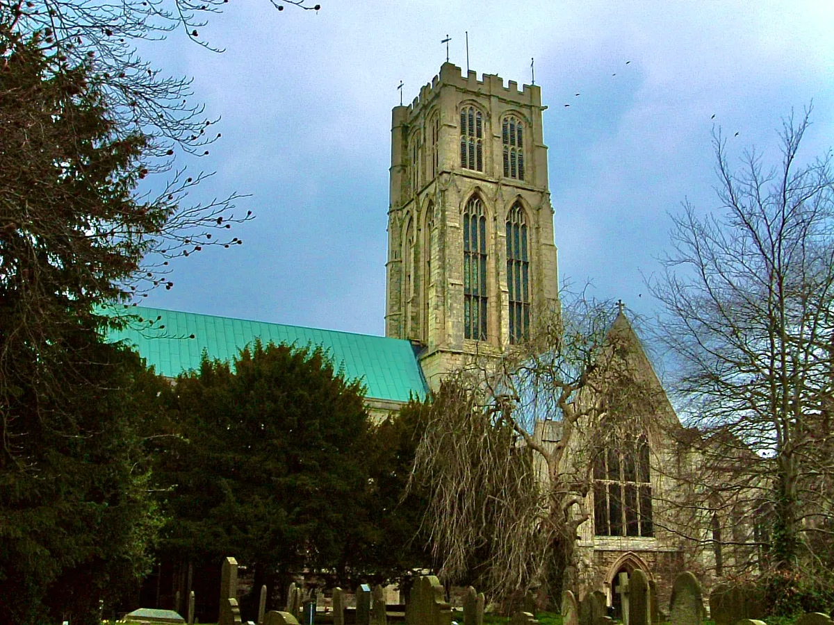
📷 5Historic churches · Yorkshire & the Humber
Howden Minster
Howden Minster — church in Howden, East Riding of Yorkshire, England, UK.
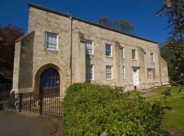 Flagship📷 3
Stately homes · Yorkshire & the Humber
The Bishop's Manor
The Bishop's Manor — manor house in Howden, East Riding of Yorkshire, England, UK.
 📷 3
📷 3Historic houses · Yorkshire & the Humber
Howden Hall
Howden Hall — house in Howden, East Riding of Yorkshire, England, UK.
 📷 3
📷 3Windmills · Yorkshire & the Humber
Hail Windmill
Hail Windmill is a windmill in the United Kingdom.
 📷 5
📷 5Historic bridges · Yorkshire & the Humber
Boothferry Bridge
Boothferry Bridge is a historic bridge in the United Kingdom.
More cemeteries in this region
 📷 4
📷 4Cemeteries · Yorkshire & the Humber
Altofts Cemetery
Altofts Cemetery is a cemetery in the United Kingdom.
 📷 3
📷 3Cemeteries · Yorkshire & the Humber
Anlaby Tranby Lane Cemetery
Anlaby Tranby Lane Cemetery is a cemetery in the United Kingdom.
 📷 3
📷 3Cemeteries · Yorkshire & the Humber
Armley Hill Top Cemetery
Armley Hill Top Cemetery is a cemetery in the United Kingdom.
 📷 3
📷 3Cemeteries · Yorkshire & the Humber
Barmby on the Marsh Burial Ground
Barmby on the Marsh Burial Ground is a cemetery in the United Kingdom.
Frequently asked questions
- Where is Howden Cemetery?
- Howden Cemetery is in Yorkshire & the Humber, in the United Kingdom — coordinates 53.7441°, -0.8776°. The nearest railway station is Howden, around 2.6 km away.
- Is Howden Cemetery free to visit?
- Yes — admission to Howden Cemetery is free.