Towns & cities · London
How End
How End — village in Bedfordshire, England, UK.

Wikimedia Commons contributors — see linked file page for photographer and licence licence
Plan your visit
- Typical visit
- 3 h–6 h
- Nearest railway station
- Stewartby · 2.3 km
- Free entry
- Family-friendly
- Dog-friendly
About
How End is a town, city, village or settlement in the United Kingdom. Address: MK45. Wikidata describes it as: "village in Bedfordshire, England, UK". Coordinates: 52.0589°, -0.4921°.
Photo gallery
From the Wikipedia article
How End is a hamlet located in the Central Bedfordshire district of Bedfordshire, England. The settlement is close to the larger villages of Stewartby and Houghton Conquest. How End forms part of the Houghton Conquest civil parish.
Excerpt from Wikipedia under CC BY-SA 4.0. See the source article linked in Sources below.
- Coordinates
- 52.0589, -0.4921
- District
- Central Bedfordshire
- Parish
- Houghton Conquest
- Postcode
- MK45
- Parliamentary constituency
- Mid Bedfordshire
- Nearest railway station
- Stewartby — 2.3 km
Sources
- wikidata: Q1519210 (CC0)
- wikipedia: How End (CC BY-SA 4.0)
- commons: The Chequers - geograph.org.uk - 971033.jpg (CC BY-SA 4.0)
Other places nearby
Loading nearby places…
Nearby
 📷 5
📷 5Historic churches · London
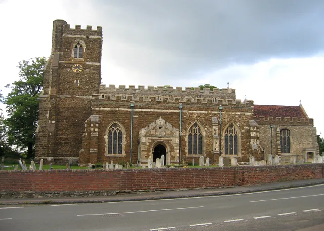
Church of All Saints, Houghton Conquest
Church of All Saints, Houghton Conquest — church in Houghton Conquest, Bedfordshire, England, UK.
 📷 5
📷 5Towns & cities · London
Houghton Conquest
Houghton Conquest — village and civil parish in Bedfordshire, UK.
 📷 5
📷 5Forests & woodlands · London
Kings Wood
Kings Wood is a forest or woodland in the United Kingdom.
 📷 4
📷 4Historic houses · East of England
Houghton House
Houghton House is a ruined mansion house in the parish of Houghton Conquest, Bedfordshire. It is a Grade I listed building, positioned above the surrounding countryside, and commands excellent views.
 📷 5
📷 5Towns & cities · West Midlands
Stewartby
Stewartby — village and civil parish in Bedfordshire, UK.
 📷 3
📷 3Parks · West Midlands
Ampthill Park
Ampthill Park — country house and former country estate in Ampthill, Bedfordshire, England, UK.
More towns in this region
 Flagship📷 10
Towns & cities · London
Aldenham
Aldenham — village and civil parish in Hertfordshire, England.
 Flagship📷 10
Towns & cities · London
Ashdon
Ashdon — village and civil parish in Essex, UK.
 Flagship📷 10
Towns & cities · London
Betchworth
Betchworth — village and civil parish in the Mole Valley district of Surrey, England.
 Flagship📷 10
Towns & cities · London
Boxley
Boxley — village and civil parish in Maidstone District, Kent, England, UK.
Frequently asked questions
- Where is How End?
- How End is in London, United Kingdom (postcode MK45), in the parish of Houghton Conquest.
- Is How End free to visit?
- Yes, How End is free to enter.
- How do I get to How End?
- The nearest railway station is Stewartby, about 2.3 km away. Drivers can navigate to postcode MK45.