Parks · London
Hounslow Heath
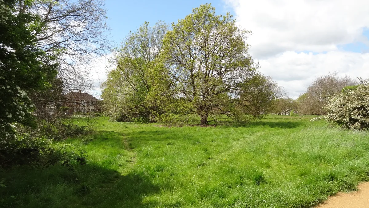
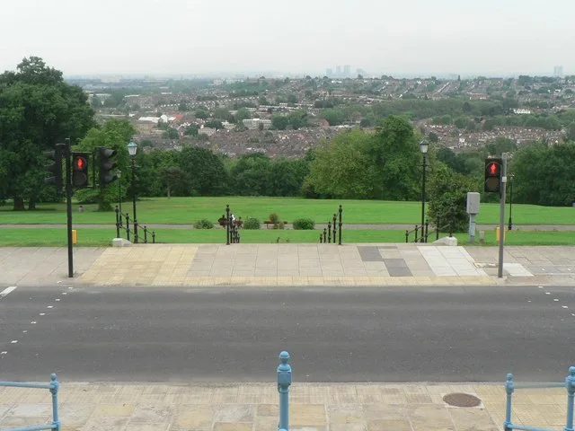
Hounslow Heath — park in Greater London, United Kingdom.

Wikimedia Commons contributors — see linked file page for photographer and licence licence
Plan your visit
- Typical visit
- 1 h–2 h
- Nearest railway station
- Feltham · 1.7 km
- Free entry
- Family-friendly
- Dog-friendly
About
Hounslow Heath is a public park in the United Kingdom. It covers approximately 82 km². Wikidata describes it as: "park in Greater London, United Kingdom". Coordinates: 51.4560°, -0.3890°.
Photo gallery
From the Wikipedia article
Hounslow Heath is a local nature reserve in the London Borough of Hounslow and at a point borders Richmond upon Thames. The public open space, which covers 200 acres (80 ha), is all that remains of the historic Hounslow Heath which covered more than 4,000 acres (1,600 ha). The present day area is bounded by A315 Staines Road, A3063 Wellington Road South, A314 Hanworth Road, and the River Crane.
Excerpt from Wikipedia under CC BY-SA 4.0. See the source article linked in Sources below.
Background
History
by Richard Wilson, 1770]] The heathland of Hounslow Heath originally covered an area underlain by Taplow gravel that now includes parts of Bedfont, Brentford, Cranford, Feltham, Hampton, Fulwell, Hanworth, Harlington, Harmondsworth, Heston, Hounslow, Isleworth, Stanwell, Teddington, Twickenham, and Heathrow. Hounslow Heath has had major historical importance, originally crossed by main routes from London to the west and southwest of Britain. Staines Road, the northern boundary of the present heath, was the Roman Road, Via Trinobantes. There are several historic references to Roman camps on or close to the heath. Continuous recorded history dates back to Norman times. In 1546, Hounslow Heath…
Sourced from Wikipedia under CC BY-SA 4.0.
- Coordinates
- 51.4560, -0.3890
- District
- Hounslow
- Parish
- Hounslow, unparished area
- Postcode
- TW14 0DR
- Parliamentary constituency
- Feltham and Heston
- Nearest railway station
- Feltham — 1.7 km
- Official site
- www.hounslow.info
Sources
- wikidata: Q5913296 (CC0)
- wikipedia: Hounslow Heath (CC BY-SA 4.0)
- commons: Hounslow Heath - geograph.org.uk - 108662.jpg (CC BY-SA 4.0)
Other places nearby
Loading nearby places…
Nearby
 📷 5
📷 5Forests & woodlands · London
Hounslow Heath
Hounslow Heath is a forest or woodland in the United Kingdom.
 📷 5
📷 5Golf courses · London
Hounslow Heath Golf Centre
Hounslow Heath Golf Centre — public golf course in west London.
 📷 5
📷 5Natural landmarks · London
The Heathland School
The Heathland School — a school heritage in england-london, United Kingdom.
 📷 5
📷 5Historic churches · London
Islamic Integration Community Centre
Islamic Integration Community Centre — a church in england-london, United Kingdom.
 📷 5
📷 5Cemeteries · London
Hounslow Cemetery
Hounslow Cemetery is a cemetery in the United Kingdom.
 📷 5
📷 5Wildlife reserves · London
Pevensey Road Nature Reserve
Pevensey Road Nature Reserve is a wildlife reserve in the United Kingdom.
More parks in this region
 Flagship📷 10
Parks · London
Addington Hills
Addington Hills — park in the United Kingdom.
 📷 10
📷 10Parks · London
Addington Park
Addington Park — park in the United Kingdom.
 Flagship📷 10
Parks · London
Addiscombe Railway Park
Addiscombe Railway Park — park in London Borough of Croydon, United Kingdom.
 Flagship📷 10
Parks · London
Alexandra Park
Alexandra Park — park in the London Borough of Haringey.
Frequently asked questions
- Where is Hounslow Heath?
- Hounslow Heath is in London, United Kingdom (postcode TW14 0DR), in the parish of Hounslow, unparished area.
- Who owns Hounslow Heath?
- Hounslow Heath is owned by London Borough of Hounslow.
- Is Hounslow Heath free to visit?
- Yes, Hounslow Heath is free to enter.
- How do I get to Hounslow Heath?
- The nearest railway station is Feltham, about 1.7 km away. Drivers can navigate to postcode TW14 0DR.