Natural landmarks · Yorkshire & the Humber
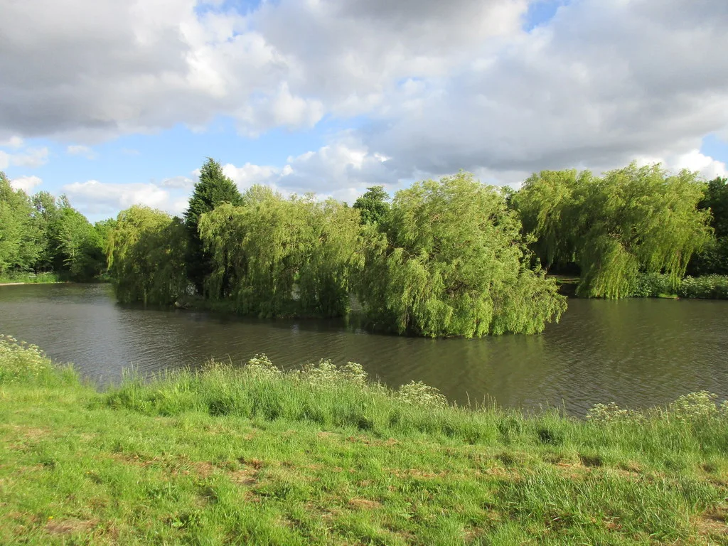
Hornsea Mere
Hornsea Mere — lake in the United Kingdom.

Wikimedia Commons contributors — see linked file page for photographer and licence licence
Plan your visit
- Typical visit
- 1 h–2 h
- Free entry
- Dog-friendly
About
Hornsea Mere is a named natural landmark in the United Kingdom. Wikidata describes it as: "lake in the United Kingdom". Coordinates: 53.9056°, -0.1861°.
Photo gallery
Protected designations
- Site of Special Scientific Interest: Hornsea Mere SSSI
Designations sourced from Natural England open data under OGL v3.
From the Wikipedia article
Hornsea Mere is the largest freshwater lake in Yorkshire, England, and lies to the west of Hornsea in the East Riding of Yorkshire. The mere was used as a base for the Royal Naval Air Service and then latterly, the Royal Air Force during the First World War.
Excerpt from Wikipedia under CC BY-SA 4.0. See the source article linked in Sources below.
Background
Description
It covers an area of 467 acre, is 2 mi long, 0.75 mi at its widest point and 12 ft at its deepest. The average depth of the lake is 1.5 m and the mere itself lies only 8 m above sea level. The mere is fed by several small streams and a sluice gate at the eastern end of the mere controls the outflow, which travels only 1.1 km eastwards to the North Sea. Hornsea Mere is a centre for bird-watching and a tourist attraction offering rowing, sailing, boat trips and fishing. It is a designated Site of Special Scientific Interest and a Special Protection Area for birds; it accommodates many species throughout the year, and is of international importance for a migratory population of gadwall. Its…
Sourced from Wikipedia under CC BY-SA 4.0.
- Coordinates
- 53.9056, -0.1861
- District
- East Riding of Yorkshire
- Parish
- Hornsea
- Postcode
- HU18 1BT
- Parliamentary constituency
- Bridlington and The Wolds
Sources
- wikidata: Q5904525 (CC0)
- wikipedia: Hornsea Mere (CC BY-SA 4.0)
- commons: Hornsea Mere.jpg (CC BY-SA 4.0)
Other places nearby
Loading nearby places…
Nearby
Vineyards · Yorkshire & the Humber
Medieval settlement of Southorpe and field system, north east of Southorpe Farm
Medieval settlement of Southorpe and field system, north east of Southorpe Farm — a UK vineyard in england yorkshire, producing English or Welsh wine from cool-climate grape varieties.
 📷 3
📷 3Archaeological sites · Yorkshire & the Humber
Southorpe
Southorpe — a archaeological in england-yorkshire, United Kingdom.
 📷 3
📷 3Historic houses · Yorkshire & the Humber
The White House
The White House — house in Hornsea, East Riding of Yorkshire, England, UK.
 📷 3
📷 3Museums · Yorkshire & the Humber
Hornsea Museum
Hornsea Museum — a museum in england-yorkshire, United Kingdom.
 📷 4
📷 4Follies · Yorkshire & the Humber
Bettisons Folly
Bettisons Folly — Folly or eyecatcher.
 📷 4
📷 4Gardens · Yorkshire & the Humber
Hornsea RNLI Lifeboat Station
Hornsea RNLI Lifeboat Station — a garden in england-yorkshire, United Kingdom.
More natural landmarks in this region
 📷 3
📷 3Natural landmarks · Yorkshire & the Humber
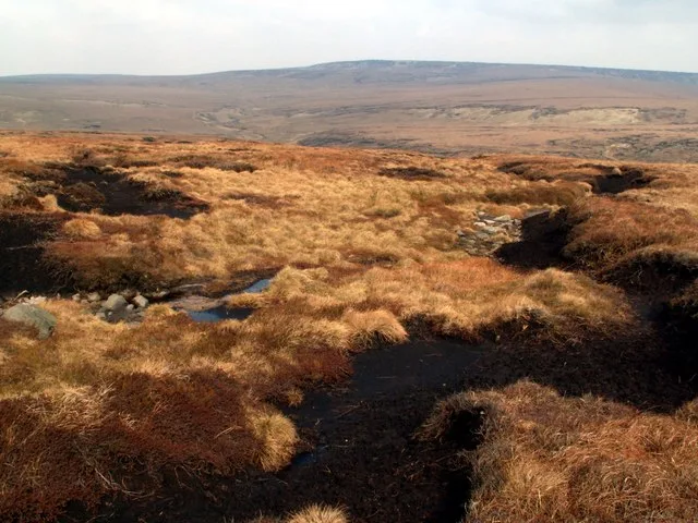
Black Chew Head
Black Chew Head — Hill in the United Kingdom.
 📷 5
📷 5Natural landmarks · Yorkshire & the Humber
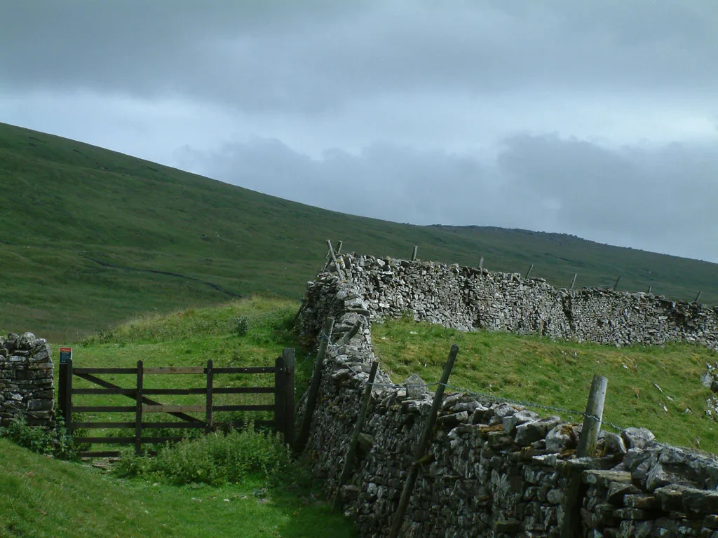
Carlton Bank
Carlton Bank — hill in the United Kingdom.
 📷 3
📷 3Natural landmarks · Yorkshire & the Humber
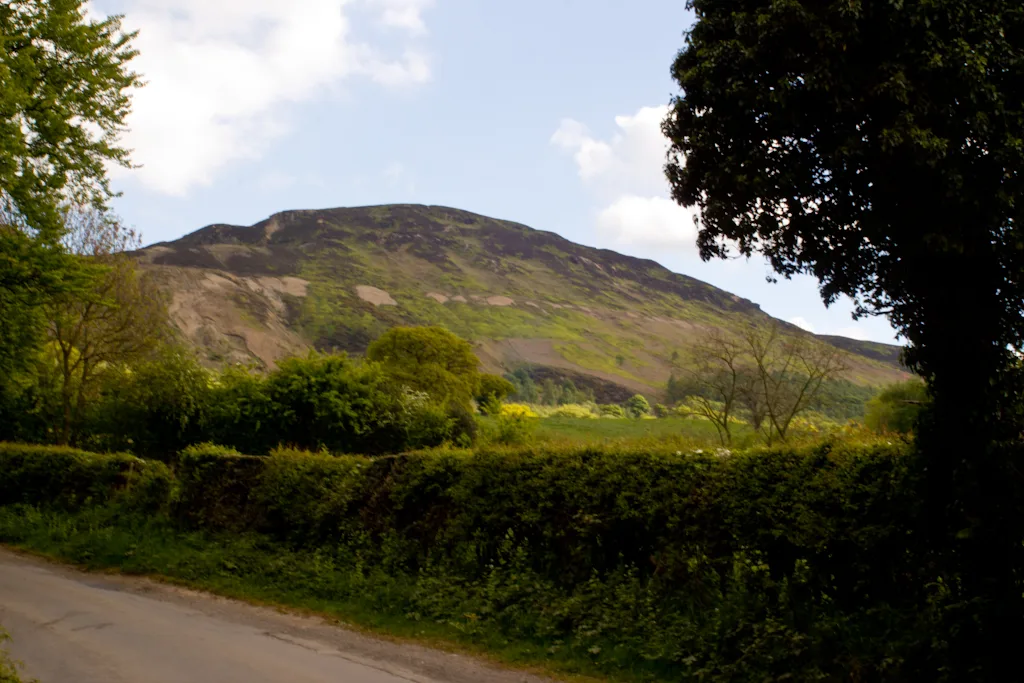
Great Whernside
Great Whernside — mountain in United Kingdom.
 📷 3
📷 3Natural landmarks · Yorkshire & the Humber
Highfields Lake
Highfields Lake — lake in the United Kingdom.
Frequently asked questions
- Where is Hornsea Mere?
- Hornsea Mere is in Yorkshire, United Kingdom (postcode HU18 1BT), in the parish of Hornsea.
- Is Hornsea Mere a protected site?
- Yes — Hornsea Mere is part of the Hornsea Mere SSSI Site of Special Scientific Interest.
- Is Hornsea Mere free to visit?
- Yes, Hornsea Mere is free to enter.
- How do I get to Hornsea Mere?
- Drivers can navigate to postcode HU18 1BT. It sits within the Bridlington and The Wolds parliamentary constituency.