Towns & cities · South East England
Hook
Also known as: Hook, Hart
Hook — village in Hart district, Hampshire, England, UK.

Wikimedia Commons contributors — see linked file page for photographer and licence licence
Plan your visit
- Typical visit
- 3 h–6 h
- Nearest railway station
- Hook · 0.3 km
- Free entry
- Family-friendly
- Dog-friendly
About
Hook is a town, city, village or settlement in the United Kingdom. Recent population estimates put it at around 6,824 people. Wikidata describes it as: "village in Hart district, Hampshire, England, UK". Coordinates: 51.2773°, -0.9633°.
Photo gallery
Protected designations
- Site of Special Scientific Interest: Hook Common and Bartley Heath SSSI
- Site of Special Scientific Interest: Basingstoke Canal SSSI
Designations sourced from Natural England open data under OGL v3.
From the Wikipedia article
Hook is a civil parish and large village in the Hart District of northern Hampshire, England. It is situated 6 miles (10 km) east of Basingstoke and 36 miles (58 km) northeast of Southampton, on the A30 national route, just north of Junction 5 of the M3 motorway. London is 41 miles (66 km) northeast of the village. The 2021 Census recorded Hook's population as 9,100. Hook railway station has direct rail links to both London Waterloo and Basingstoke with indirect routes to Reading, Salisbury, and Southampton. Rail services are provided by South Western Railway. Among the businesses located in Hook are Serco and Trimble Navigation. Between 2004 and 2006, Hook expanded eastwards with the development of the Holt Park residential area, and from 2020 northeastwards with the Green Hart Park and Oakwood Grange developments.
Excerpt from Wikipedia under CC BY-SA 4.0. See the source article linked in Sources below.
Background
History
Until the 18th century, there were only a few scattered farms in the area. The area of Murrell Green had existed as a village previously, but lay abandoned for years. Small hamlets did not begin to appear until inns were built to serve travellers. Hook was on the main London to Exeter stagecoach route. Late in the eighteenth century, a turnpike was built to ease the ascent of the steep Scures Hill, west of the village. In 1883, Hook railway station was built, and the village began to grow with railway workers and commuters settling in Hook. During the late 19th century, Thomas Ellwood (1819-1902) lived in a house situated on modern Sheldon’s Lane. He was a minor landowner and railway…
Sourced from Wikipedia under CC BY-SA 4.0.
- Coordinates
- 51.2773, -0.9633
- County
- Hampshire
- District
- Hart
- Parish
- Hook
- Postcode
- RG27 9JZ
- Parliamentary constituency
- North East Hampshire
- Population
- 6,824
- Nearest railway station
- Hook — 0.3 km
- Official site
- www.hook.gov.uk
Sources
- wikidata: Q616126 (CC0)
- wikipedia: Hook, Hart (CC BY-SA 4.0)
- commons: Hook, Wild Herons - geograph.org.uk - 119551.jpg (CC BY-SA 4.0)
Other places nearby
Loading nearby places…
Nearby
 📷 5
📷 5Memorials & monuments · South East England
Hook War Memorial
Hook War Memorial is a memorial in the United Kingdom.
 📷 5
📷 5Roman villas · South East England
Lodge Farm Roman villa
Lodge Farm Roman villa — a roman villa in england-south-east, United Kingdom.
 📷 5
📷 5Castles · South East England
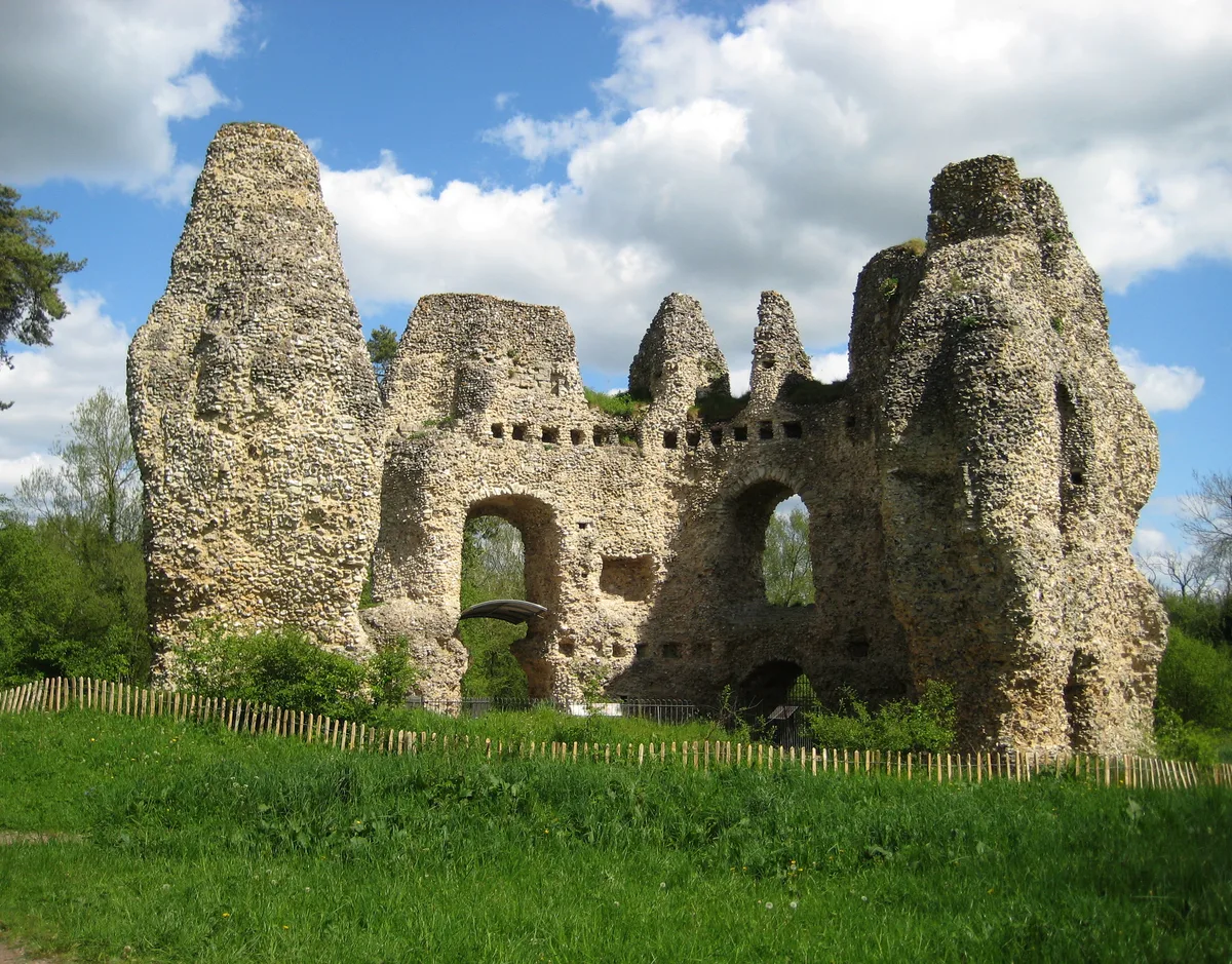
Odiham Castle
Odiham Castle — ruined castle situated near Odiham in Hampshire, England, UK.
Hotels · South East England
Tylney Hall Hotel
Tylney Hall Hotel — a hotel in england south east.
Campsites · South East England
Fox & Goose Campsite
Fox & Goose Campsite — a campsite in england south east.
 📷 5
📷 5Manor houses · South East England
Greywell Hill House
Greywell Hill House — a manor in england-south-east, United Kingdom.
More towns in this region
 Flagship📷 10
Towns & cities · South East England
Aldermaston
Aldermaston — village and civil parish in West Berkshire in England, UK.
 Flagship📷 10
Towns & cities · South East England
Aldingbourne
Aldingbourne — village and civil parish in Arun, West Sussex, UK.
 Flagship📷 10
Towns & cities · South East England
Aldington
Aldington — village and civil parish in the Ashford District of Kent, England.
 Flagship📷 10
Towns & cities · South East England
Aldworth
Aldworth — village and civil parish in the English county of Berkshire.
Frequently asked questions
- Where is Hook?
- Hook is in Hampshire, South-East England, United Kingdom (postcode RG27 9JZ), in the parish of Hook.
- Is Hook a protected site?
- Yes — Hook is part of the Hook Common and Bartley Heath SSSI Site of Special Scientific Interest and the Basingstoke Canal SSSI Site of Special Scientific Interest.
- Is Hook free to visit?
- Yes, Hook is free to enter.
- How do I get to Hook?
- The nearest railway station is Hook, about 0.3 km away. Drivers can navigate to postcode RG27 9JZ.