Historic bridges · South East England
Holme Lane
Holme Lane is a historic bridge in the United Kingdom.

David Smith — CC BY-SA 2.0 via Wikimedia Commons licence
Plan your visit
- Typical visit
- 15 min–30 min
- Nearest railway station
- Wareham · 2.7 km
- Free entry
- Dog-friendly
About
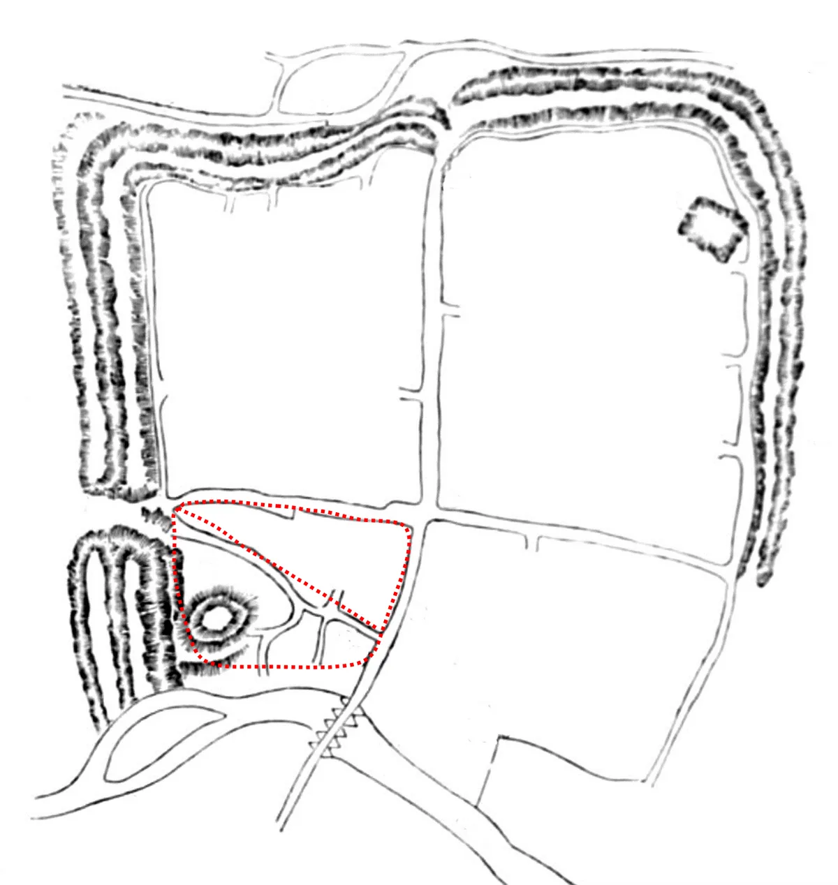
Holme Lane is a historic bridge in South-East England. The site is within the Dorset National Landscape (AONB), and is part of the PURBECK HEATHS National Nature Reserve. It sits within the South Dorset parliamentary constituency. The nearest railway station is Wareham, about 2.7 km away. Postcode area BH20.
Photo gallery
Protected designations
- Site of Special Scientific Interest: Povington and Grange Heaths SSSI
- National Nature Reserve: PURBECK HEATHS
- Area of Outstanding Natural Beauty: Dorset
- Ramsar wetland: Dorset Heathlands
Designations sourced from Natural England open data under OGL v3.
From the Wikipedia article
Holme Lacy is a village and civil parish in the county of Herefordshire, England. The population of the civil parish was 466 at the 2011 census.
Excerpt from Wikipedia under CC BY-SA 4.0. See the source article linked in Sources below.
Background
History
In 1086, as recorded in the Domesday Book, the village was an estate of the Bishop of Hereford and held by Roger de Lacy, which is where the "Lacy" affix comes from. De Lacy was a Lord of the manor, indicating that a feudal system was in existence during the Middle Ages. It was in Dinedor hundred in Herefordshire. William I of England had returned Hamme to Bishop Walter and in 1086 the total population included: The presence of a priest is likely to indicate that there was a church at Holme Lacy. There were also two ploughs under the lordship's tenure in existence.
Sourced from Wikipedia under CC BY-SA 4.0.
- Coordinates
- 50.6690, -2.1247
- District
- Dorset
- Parish
- East Holme
- Postcode
- BH20 5DH
- Parliamentary constituency
- South Dorset
- Nearest railway station
- Wareham — 2.7 km
Sources
- osm: w32517574 (ODbL)
- wikipedia: Holme Lacy (CC BY-SA 4.0)
Other places nearby
Loading nearby places…
Nearby
Caravan parks · South East England
The Lookout Park
The Lookout Park — a caravan park in england south east.
 📷 5
📷 5Towns & cities · South East England
East Holme
East Holme — village and civil parish in Dorset, England, UK.
 📷 5
📷 5Castles · South East England
Wareham Castle
Wareham Castle — castle in Dorset, England, UK.
 📷 5
📷 5Castles · South East England
Wareham Castle and town defences
Wareham Castle and town defences — a other in england-south-east, United Kingdom.
 📷 5
📷 5Historic houses · South East England
The Priory of Lady St Mary
The Priory of Lady St Mary — house in Wareham, Dorset, England, UK.
 📷 5
📷 5Historic churches · South East England
Lady St. Mary Church, Wareham
Lady St. Mary Church, Wareham — church in Wareham, Dorset, England, UK.
More bridges in this region
 📷 5
📷 5Historic bridges · South East England
Arundel Bridge
Arundel Bridge is a historic bridge in the United Kingdom.
 📷 5
📷 5Historic bridges · South East England
Ash Aqueduct
Ash Aqueduct is a historic bridge in the United Kingdom.
 📷 5
📷 5Historic bridges · South East England
Avoncliff Aqueduct
Avoncliff Aqueduct is a historic bridge in the United Kingdom.
📷 5Historic bridges · South East England
Avoncliff Aqueduct
Avoncliff Aqueduct is a historic bridge in the United Kingdom.
Frequently asked questions
- Where is Holme Lane?
- Holme Lane is in South-East England, United Kingdom (postcode BH20 5DH), in the parish of East Holme.
- Is Holme Lane a protected site?
- Yes — Holme Lane is part of the Povington and Grange Heaths SSSI Site of Special Scientific Interest and the PURBECK HEATHS National Nature Reserve.
- Is Holme Lane free to visit?
- Yes, Holme Lane is free to enter.
- How do I get to Holme Lane?
- The nearest railway station is Wareham, about 2.7 km away. Drivers can navigate to postcode BH20 5DH.