Other places · London
Holding Hands
Holding Hands — Public artwork (sculpture) by Stik.

Wikimedia Commons contributors — see linked file page for photographer and licence licence
Plan your visit
- Typical visit
- 1 h–2 h
- Nearest railway station
- Old Street · 0.5 km
About
Holding Hands is a place of interest in the United Kingdom. Wikidata describes it as: "Public artwork (sculpture) by Stik.". Coordinates: 51.5276°, -0.0812°.
Photo gallery
Place summary
Holding Hands is located in the London region, within the unparished area of Hackney, postcode N1. It is classified under the "other" category, indicating its unique significance within the local context.
AI-generated from the structured facts on this page (operator, designation, listing, era). Not a substitute for visiting.
- Coordinates
- 51.5276, -0.0812
- District
- Hackney
- Parish
- Hackney, unparished area
- Postcode
- N1 6PD
- Parliamentary constituency
- Hackney South and Shoreditch
- Nearest railway station
- Old Street — 0.5 km
- Official site
- www.thecourtyard.org.uk
Sources
- osm: n8687016434 (ODbL)
- commons: Stik in Hoxton Square.jpg (CC BY-SA 4.0)
Other places nearby
Loading nearby places…
Nearby
 📷 5
📷 5Memorials & monuments · London
James Parkinson
James Parkinson — a memorial in england-london, United Kingdom.
 📷 5
📷 5Public art & sculpture · London
Juggling Figure
Juggling Figure — a public art in england-london, United Kingdom.
 📷 5
📷 5Theatres · London
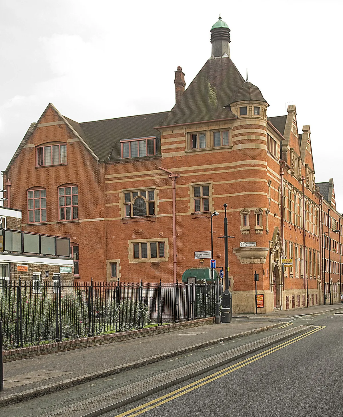
The Courtyard
The Courtyard is a theatre in the United Kingdom.
 📷 5
📷 5Theatres · London
Shoreditch Town Hall
Shoreditch Town Hall — Grade II listed building-listed theatre in england-london, United Kingdom.
 📷 5
📷 5Memorials & monuments · London
Ethereum
Ethereum — a memorial in england-london, United Kingdom.
 📷 5
📷 5Memorials & monuments · London
Electricity Generating Sub Station
Electricity Generating Sub Station — a memorial in england-london, United Kingdom.
More places in this region
 📷 5
📷 5Other places · London
33
33 — Public artwork (architecture) by Studio Weave.
 📷 5
📷 5Other places · London
A Conversation with Oscar Wilde
A Conversation with Oscar Wilde — Public artwork (sculpture).
 📷 5
📷 5Other places · London
A Sculpture for Mary Wollstonecraft
A Sculpture for Mary Wollstonecraft — Public artwork (sculpture) by Maggi Hambling.
 📷 5
📷 5Other places · London
A Slice of Reality
A Slice of Reality — Public artwork (installation) by Richard Wilson.
Frequently asked questions
- Where is Holding Hands?
- Holding Hands is in London, in the United Kingdom — coordinates 51.5276°, -0.0812°. The nearest railway station is Old Street, around 0.5 km away.