Wildlife reserves · North Wales
Hockenhull Platts
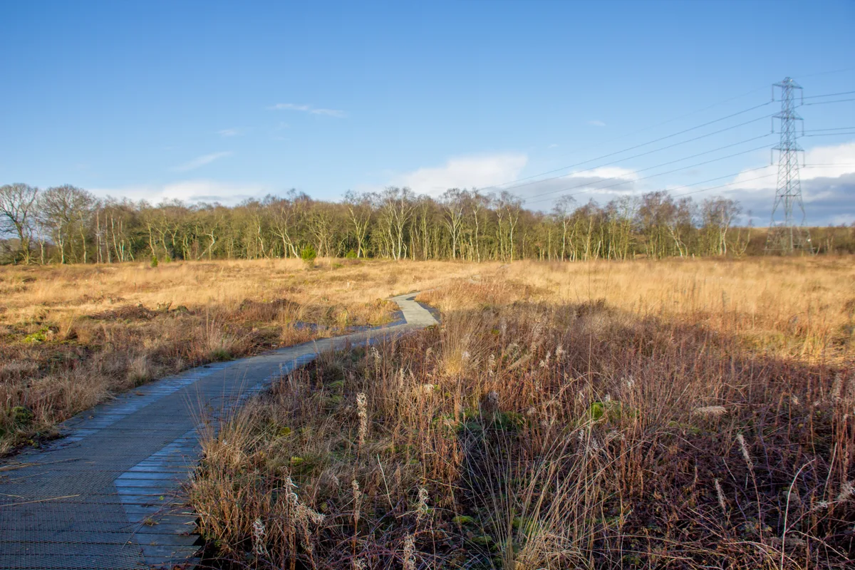
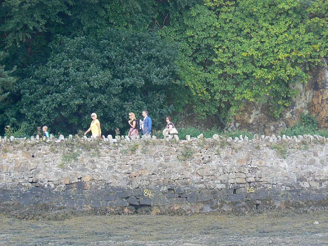
Hockenhull Platts — nature reserve and group of bridges in Cheshire, UK.

Wikimedia Commons contributors — see linked file page for photographer and licence licence
Plan your visit
- Typical visit
- 2 h–4 h
- Best time of year
- Autumn & winter (migration & wildfowl)
- Nearest railway station
- Mouldsworth · 6.2 km
- Free entry
- Family-friendly
- Dog-friendly
- Limited wheelchair access
About
Hockenhull Platts is a wildlife reserve in the United Kingdom. Managed by Cheshire Wildlife Trust. Wikidata describes it as: "nature reserve and group of bridges in Cheshire, UK". Coordinates: 53.1862°, -2.7849°.
Photo gallery
From the Wikipedia article
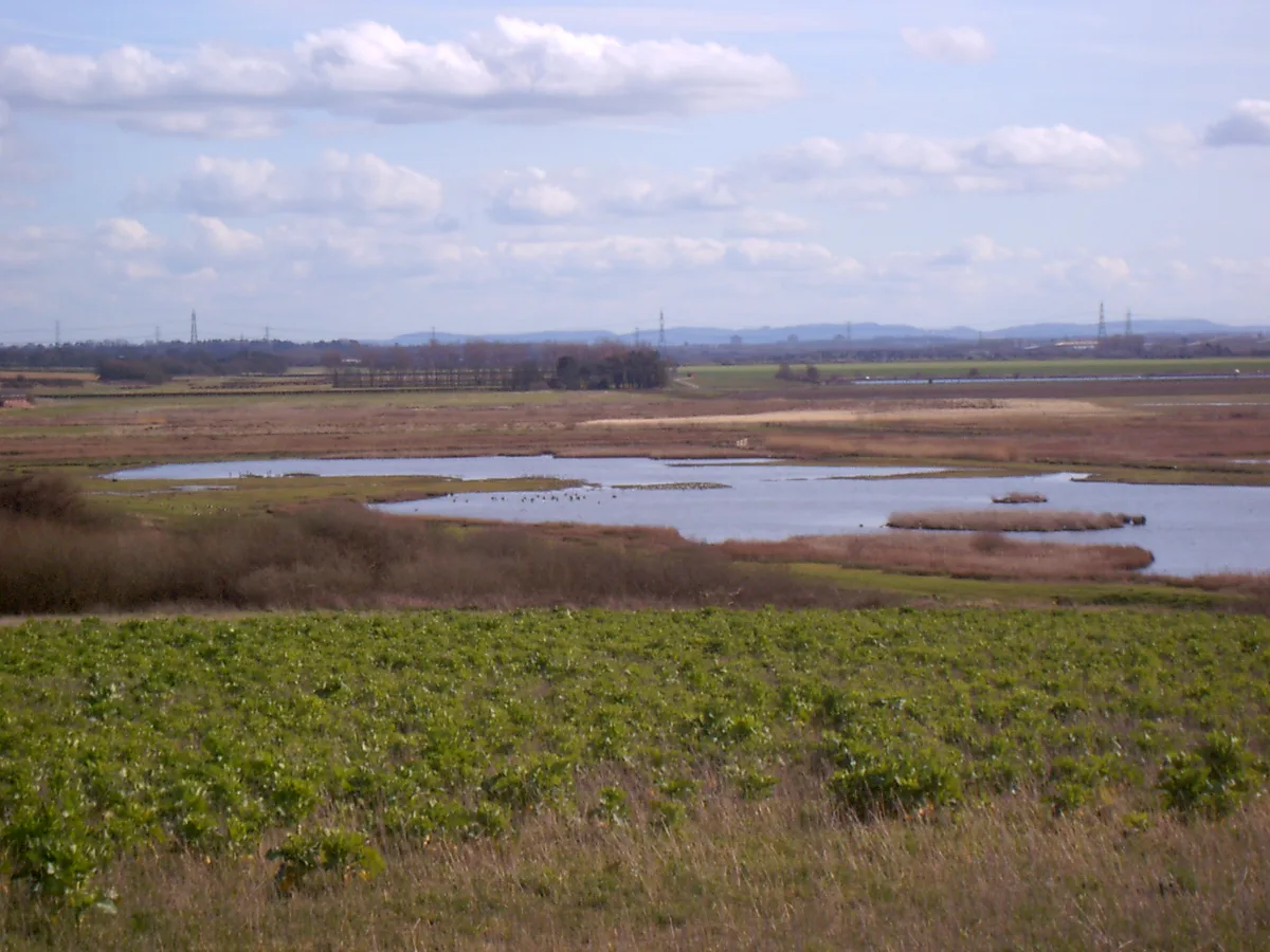
The Hockenhull Platts are three bridges southwest of the village of Tarvin, Cheshire, England. They are also known as the "Packhorse Bridges" or (erroneously) the "Roman Bridges", and are recorded in the National Heritage List for England as designated Grade II listed buildings. The bridges are situated where Platts Lane crosses the River Gowy. An area of 5 hectares (12 acres) west of the Gowy, including the westernmost bridge, forms Hockenhull Platts Nature Reserve, managed by the Cheshire Wildlife Trust.
Excerpt from Wikipedia under CC BY-SA 4.0. See the source article linked in Sources below.
Background
History
Platts Lane originally formed part of the medieval road from London to Holyhead. In 1353 when Edward, the Black Prince, crossed the bridges, he ordered that 20 shillings should be spent on their repair. In the 17th century the surface of the road was disintegrating so badly that posts were set into the road to prevent the passage of carts, and it could be used only by pedestrians and horses. Goods were carried by convoys of packhorses led by a driver (or jagger) walking in front. The pioneer female traveller Celia Fiennes crossed the bridges in 1698, as did Thomas Pennant in 1780. The present bridges probably date from the latter part of the 18th century. In 1824 Cheshire County Council…
Visiting
Hockenhull Platts consists of three humpback bridges which are approached and connected by causeways. The bridges are constructed from tooled blocks of red sandstone. The parapets are plain and are surmounted by chamfered coping stones which are joined by iron ties. The carriageway is formed from a mixture of stone setts and cobbles. The central bridge crosses the River Gowy. Formerly the three bridges and causeways were necessary because the whole area was too marshy to be crossed by any other means. However, in the 20th century a scheme was carried out to lower the water level of the whole of the River Gowy to prevent possible flooding of Stanlow Refinery, which is situated near the…
Sourced from Wikipedia under CC BY-SA 4.0.
- Coordinates
- 53.1862, -2.7849
- District
- Cheshire West and Chester
- Parish
- Christleton
- Postcode
- CH3 7PG
- Parliamentary constituency
- Chester South and Eddisbury
- Nearest railway station
- Mouldsworth — 6.2 km
- Opening
- at all times
- Official site
- www.cheshirewildlifetrust.org.uk
Sources
- wikidata: Q5875510 (CC0)
- wikipedia: Hockenhull Platts (CC BY-SA 4.0)
- commons: Hockenhull Platts EM.jpg (CC BY-SA 4.0)
Other places nearby
Loading nearby places…
Nearby
 📷 3
📷 3Historic bridges · North Wales
Platts Lane
Platts Lane is a historic bridge in the United Kingdom.
 📷 3
📷 3Historic bridges · North Wales
Platts Lane
Platts Lane is a historic bridge in the United Kingdom.
 📷 5
📷 5Towns & cities · North Wales
Tarvin
Tarvin — village and civil parish in Cheshire West and Chester, United Kingdom.
 📷 3
📷 3Natural landmarks · North Wales
The Crocky Trail
The Crocky Trail — a other in wales-north, United Kingdom.
 📷 3
📷 3Historic houses · North Wales
Tarvin Hall
Tarvin Hall — Grade II* listed house in Tarvin, Cheshire, England, UK.
 📷 3
📷 3Memorials & monuments · North Wales
Tarvin War Memorial
Tarvin War Memorial is a memorial in the United Kingdom.
More places run by Cheshire Wildlife Trust
 📷 3
📷 3Wildlife reserves · West Midlands
Danes Moss Nature Reserve
Danes Moss Nature Reserve — nature reserve and SSSI south of Macclesfield, Cheshire, England.
 📷 3
📷 3Wildlife reserves · West Midlands
Trentabank Reservoir Nature Reserve
Trentabank Reservoir Nature Reserve — nature reserve in Macclesfield Forest, Cheshire.
 📷 3
📷 3Wildlife reserves · West Midlands
Holcroft Moss
Holcroft Moss — nature reserve in Cheshire.
 📷 3
📷 3Wildlife reserves · North Wales
Gowy Meadows Nature Reserve
Gowy Meadows Nature Reserve — nature reserve in Cheshire, United Kingdom.
More places in this region
 📷 5
📷 5Wildlife reserves · North Wales
Conwy RSPB reserve
Conwy RSPB reserve — Royal Society for the Protection of Birds reserve on the east side of the Conwy estuary, North Wales.
 📷 3
📷 3Wildlife reserves · North Wales
Bodlondeb Woods
Bodlondeb Woods — woodland in Conwy, Wales, UK.
 📷 3
📷 3Wildlife reserves · North Wales
Burton Mere Wetlands
Burton Mere Wetlands — nature reserve in Cheshire, England, UK.
 📷 3
📷 3Wildlife reserves · North Wales
Ceunant Cynfal National Nature Reserve
Ceunant Cynfal National Nature Reserve — canyon in the United Kingdom.
Frequently asked questions
- Where is Hockenhull Platts?
- Hockenhull Platts is in North Wales, United Kingdom (postcode CH3 7PG), in the parish of Christleton.
- Who runs Hockenhull Platts?
- Hockenhull Platts is operated by Cheshire Wildlife Trust.
- Is Hockenhull Platts free to visit?
- Yes, Hockenhull Platts is free to enter.
- How do I get to Hockenhull Platts?
- The nearest railway station is Mouldsworth, about 6.2 km away. Drivers can navigate to postcode CH3 7PG.
- Are dogs allowed at Hockenhull Platts?
- Most wildlife reserves allow dogs on lead only, with restrictions during ground-nesting bird season (March-July). Check signage at the reserve.