Wildlife reserves · North East England
Hisehope Burn Valley
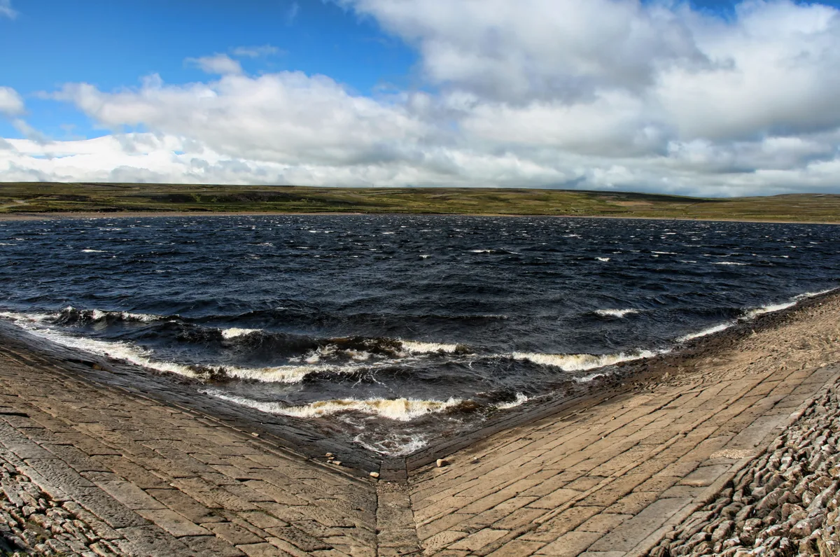
Hisehope Burn Valley in England North East, United Kingdom.

Robert Graham — CC BY-SA 2.0 via Wikimedia Commons licence
Plan your visit
- Typical visit
- 2 h–4 h
- Best time of year
- Autumn & winter (migration & wildfowl)
- Free entry
- Dog-friendly
About
Hisehope Burn Valley is a place of interest in England North East, United Kingdom — drawn from open-data sources for visitor reference. See the linked Wikipedia article for the full description.
Photo gallery
From the Wikipedia article
Hisehope Burn Valley is a Site of Special Scientific Interest in the Derwentside district of Durham, England. It consists of two separate parcels of land, one on the west bank of Hisehope Burn, the other (and larger) a few hundred yards to the east, straddling the headwaters of another small burn. The site is some 3 km west of the village of Castleside and 1 km north of the Smiddy Shaw Reservoir. The larger area adjoins the Muggleswick, Stanhope and Edmundbyers Commons and Blanchland Moor SSSI. The area adjacent to Hisehope Burn is predominantly a soligenous mire, with a sparse tree cover of downy birch, Betula pubescens, and alder, Alnus glutinosa; the mire is rich in sedges, Carex spp and bryophytes and contains several species that are localised in County Durham, including few-flowered spike rush, Eleocharis quinqueflora, grass-of-Parnassus, Parnassia palustris, sundew, Drosera rotundifolia, and lesser clubmoss, Selaginella selaginoides. The other area has one of the most extensive stands of juniper, Juniperus communis, in County Durham. Unlike most populations of juniper in Britain, in which regeneration is, at best, sparse, this community is freely-regenerating and has a diverse age composition.
Excerpt from Wikipedia under CC BY-SA 4.0. See the source article linked in Sources below.
- Coordinates
- 54.8225, -1.9322
- District
- County Durham
- Parish
- Muggleswick
- Postcode
- DH8 9DF
- Parliamentary constituency
- North Durham
- Established
- 1988
- Official site
- designatedsites.naturalengland.org.uk
Sources
- wikidata: Q14995453 (CC0)
- wikipedia: Hisehope Burn Valley (CC BY-SA 4.0)
Other places nearby
Loading nearby places…
Nearby
 📷 3
📷 3Reservoirs & lochs · Scottish Lowlands
Smiddy Shaw Reservoir
Smiddy Shaw Reservoir — reservoir in County Durham, England, UK.
 📷 3
📷 3Caves · North East England
Derwent Gorge and Horsleyhope Ravine
Derwent Gorge and Horsleyhope Ravine in England North East, United Kingdom.
📷 3Historic houses · Scottish Lowlands
Lime kiln at Lead Mill
Lime kiln at Lead Mill — a historic house in scotland-lowlands, United Kingdom.
 📷 3
📷 3Archaeological sites · Scottish Lowlands
The Railway Inn
The Railway Inn — a archaeological in scotland-lowlands, United Kingdom.
 📷 4
📷 4Mines & mining heritage · North East England
River Browney
River Browney in England North East, United Kingdom.
 📷 4
📷 4Other places · North East England
Muggleswick
Muggleswick in England North East, United Kingdom.
More places in this region
 📷 3
📷 3Wildlife reserves · North East England
Augill Pasture
Augill Pasture — nature reserve in Cumbria, England.
 📷 3
📷 3Wildlife reserves · North East England
Entrust
Entrust — Public artwork (sculpture).
 📷 4
📷 4Wildlife reserves · North East England
Ash Fell Edge
Ash Fell Edge in England North East, United Kingdom.
 📷 4
📷 4Wildlife reserves · North East England
Sunbiggin Tarn
Sunbiggin Tarn in England North East, United Kingdom.
Frequently asked questions
- Where is Hisehope Burn Valley?
- Hisehope Burn Valley is in North-East England, United Kingdom (postcode DH8 9DF), in the parish of Muggleswick.
- When was Hisehope Burn Valley built?
- Built or established in 1988.
- Is Hisehope Burn Valley free to visit?
- Yes, Hisehope Burn Valley is free to enter.
- How do I get to Hisehope Burn Valley?
- Drivers can navigate to postcode DH8 9DF. It sits within the North Durham parliamentary constituency.
- Are dogs allowed at Hisehope Burn Valley?
- Most wildlife reserves allow dogs on lead only, with restrictions during ground-nesting bird season (March-July). Check signage at the reserve.