Forests & woodlands · London
Hill Rise Local Nature Reserve
Hill Rise Local Nature Reserve is a forest or woodland in the United Kingdom.

Wikimedia Commons licence
Plan your visit
- Typical visit
- 1 h–3 h
- Nearest railway station
- Bedford · 1.4 km
- Free entry
- Family-friendly
- Dog-friendly
About
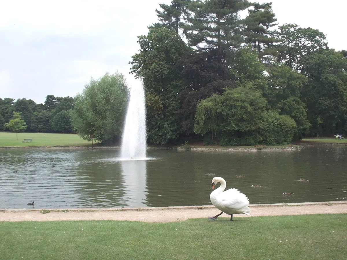
Hill Rise Local Nature Reserve is a named forest, woodland or nature reserve in the United Kingdom. Coordinates: 52.1480°, -0.4712°.
Photo gallery
From the Wikipedia article
Hill Rise is a 0.9 hectare Local Nature Reserve (LNR) located in the Harpur area of Bedford. It is owned and managed by Bedford Borough Council. The site was the Bedfordshire Training Home for Girls, founded in 1882 to prepare poor girls for domestic service. This closed by the 1970s, and the land became a derelict dumping ground. In the 1990s local residents campaigned for the site to become an LNR, and this was achieved in 1996. The small site is surrounded on three sides by houses, but it has a variety of habitats, woodland, meadow, scrub and two ponds. Wildlife includes muntjac deer, foxes, birds, dragonflies and butterflies. There is access from Park Road North.
Excerpt from Wikipedia under CC BY-SA 4.0. See the source article linked in Sources below.
- Coordinates
- 52.1480, -0.4712
- District
- Bedford
- Parish
- Bedford, unparished area
- Postcode
- MK41 7NJ
- Parliamentary constituency
- Bedford
- Nearest railway station
- Bedford — 1.4 km
- Official site
- www.bedford.gov.uk
Sources
- osm: w25819049 (ODbL)
- wikipedia: Hill Rise, Bedford (CC BY-SA 4.0)
Other places nearby
Loading nearby places…
Nearby
 📷 5
📷 5Cemeteries · London
Bedford Cemetery - Foster Hill Road
Bedford Cemetery - Foster Hill Road is a cemetery in the United Kingdom.
 Flagship📷 10
Parks · London
Bedford Park, Bedford
Bedford Park, Bedford — park in Bedford, United Kingdom.
 📷 5
📷 5Natural landmarks · London
Pilgrims Pre-Preparatory School
Pilgrims Pre-Preparatory School — a school heritage in england-london, United Kingdom.
 📷 5
📷 5Chapels · London
Bedford School Chapel
Bedford School Chapel — Grade II* listed building in Bedford, England, UK.
 📷 5
📷 5Natural landmarks · London
Polam School
Polam School — a school heritage in england-london, United Kingdom.
 📷 5
📷 5Forests & woodlands · London
Parkwood Local Nature Reserve
Parkwood Local Nature Reserve is a forest or woodland in the United Kingdom.
More forests in this region
 📷 5
📷 5Forests & woodlands · London
Ackroyd Drive Green Link
Ackroyd Drive Green Link is a forest or woodland in the United Kingdom.
 📷 5
📷 5Forests & woodlands · London
Adams Road Bird Sanctuary
Adams Road Bird Sanctuary is a forest or woodland in the United Kingdom.
 📷 5
📷 5Forests & woodlands · London
Adelaide Nature Reserve
Adelaide Nature Reserve is a forest or woodland in the United Kingdom.
 📷 5
📷 5Forests & woodlands · London
Angel's Wings
Angel's Wings — Public artwork by Thomas Heatherwick.
Frequently asked questions
- Where is Hill Rise Local Nature Reserve?
- Hill Rise Local Nature Reserve is in London, United Kingdom (postcode MK41 7NJ), in the parish of Bedford, unparished area.
- Is Hill Rise Local Nature Reserve free to visit?
- Yes, Hill Rise Local Nature Reserve is free to enter.
- How do I get to Hill Rise Local Nature Reserve?
- The nearest railway station is Bedford, about 1.4 km away. Drivers can navigate to postcode MK41 7NJ.