Mountains & hills · South West England
Haytor Rocks
Also known as: Haytor
Haytor Rocks — Named summit at 457 m.

Wikimedia Commons contributors — see linked file page for photographer and licence licence
Plan your visit
- Typical visit
- 3 h–8 h
- Best time of year
- Late spring – early autumn (May–Oct)
- Nearest railway station
- Trago Central · 7.0 km
- Free entry
- Dog-friendly
About
Haytor Rocks is a named summit in the United Kingdom. Also known as: Haytor. Wikidata describes it as: "Named summit at 457 m.". Coordinates: 50.5798°, -3.7568°.
Photo gallery
Protected designations
- Site of Special Scientific Interest: Haytor Rocks and Quarries SSSI
Designations sourced from Natural England open data under OGL v3.
From the Wikipedia article
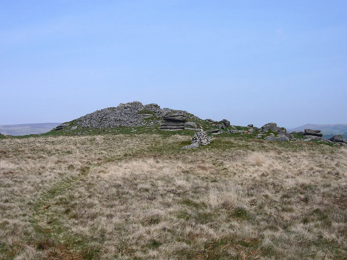
Haytor, also known as Haytor Rocks, Hay Tor, or occasionally Hey Tor, is a granite tor on the eastern edge of Dartmoor in the English county of Devon.
Excerpt from Wikipedia under CC BY-SA 4.0. See the source article linked in Sources below.
Background
History
between Exeter and Plymouth|thumb|left]] Idetordoune (1566), Ittor Doune (1687), Idetor (1737), Eator Down (1762) and Itterdown (1789) are a few recorded examples of earlier names by which Haytor was known. The name Haytor is of comparatively recent origin, and is probably a corruption of its old name and that of the Haytor Hundred, which covered the coastal area between the River Teign and River Dart, itself now considered to have been named after a lost village located somewhere between Totnes and Newton Abbot. In the 19th century steps were made to allow pedestrians up to the top of the tor and a metal handrail fixed to allow tourists easier access to the summit. This was not entirely…
Visiting
Haytor rocks and quarries are protected from development and disturbance as a Site of Special Scientific Interest. The area is considered a natural beauty spot and is arguably Dartmoor's most famous landmark, The smaller, western outcrop is sometimes known as "Lowman". Rock climbers make use of both outcrops; each has routes of varying difficulty. The road that passes below the tor hosted a summit finish on Stage 6 of the 2013 Tour of Britain, and the climb was again used for the finish of the sixth stage of the 2016 Tour of Britain.
Sourced from Wikipedia under CC BY-SA 4.0.
- Coordinates
- 50.5798, -3.7568
- County
- Devon
- District
- Teignbridge
- Parish
- Ilsington
- Postcode
- TQ13 9XT
- Parliamentary constituency
- Central Devon
- Nearest railway station
- Trago Central — 7 km
Sources
- osm: n844179820 (ODbL)
- wikipedia: Haytor (CC BY-SA 4.0)
- commons: Dartmoor, Haytor Rocks - geograph.org.uk - 1012895.jpg (CC BY-SA 4.0)
Other places nearby
Loading nearby places…
Nearby
 📷 5
📷 5Museums · South West England
River Lemon
River Lemon — a museum in england-south-west, United Kingdom.
 📷 3
📷 3Natural landmarks · South West England
Bag Tor Mine
Bag Tor Mine — a natural landmark in england-south-west, United Kingdom.
 📷 3
📷 3Historic houses · South West England
Wheelpit (60', Dartmoor's Largest)
Wheelpit (60', Dartmoor's Largest) — a historic house in england-south-west, United Kingdom.
 Flagship📷 10
Natural landmarks · South West England
Becky Falls
Dartmoor's 21-metre waterfall and woodland park, with animal encounters for kids.
 📷 3
📷 3Archaeological sites · South West England
Seven Lords' Lands
Seven Lords' Lands — a archaeological in england-south-west, United Kingdom.
 📷 3
📷 3Mountains & hills · South West England
Rippon Tor
Rippon Tor — Named summit at 476 m.
More mountains in this region
 📷 5
📷 5Mountains & hills · South West England
Alex Tor
Alex Tor — Named summit at 291 m.
 📷 5
📷 5Mountains & hills · South West England
Ash Hole Cavern
Ash Hole Cavern — cave in Brixham, Devon, England, UK.
 📷 5
📷 5Mountains & hills · South West England
Babbacombe Bay
Babbacombe Bay — bay in Devon, England.
 📷 5
📷 5Mountains & hills · South West England
Barley Bay
Barley Bay — bay in the United Kingdom.
Frequently asked questions
- Where is Haytor Rocks?
- Haytor Rocks is in Devon, South-West England, United Kingdom (postcode TQ13 9XT), in the parish of Ilsington.
- Is Haytor Rocks a protected site?
- Yes — Haytor Rocks is part of the Haytor Rocks and Quarries SSSI Site of Special Scientific Interest.
- Is Haytor Rocks free to visit?
- Yes, Haytor Rocks is free to enter.
- How do I get to Haytor Rocks?
- The nearest railway station is Trago Central, about 7.0 km away. Drivers can navigate to postcode TQ13 9XT.