Mountains & hills · North West England
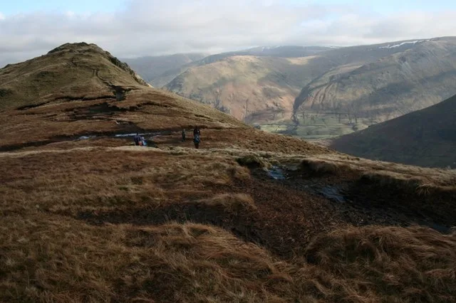
Hartsop Above How
Hartsop Above How — Named summit at 586.1 m.

Wikimedia Commons contributors — see linked file page for photographer and licence licence
Plan your visit
- Typical visit
- 3 h–8 h
- Best time of year
- Late spring – early autumn (May–Oct)
- Free entry
- Dog-friendly
About
Hartsop Above How is a named summit in the United Kingdom. Wikidata describes it as: "Named summit at 586.1 m.". Coordinates: 54.4996°, -2.9539°.
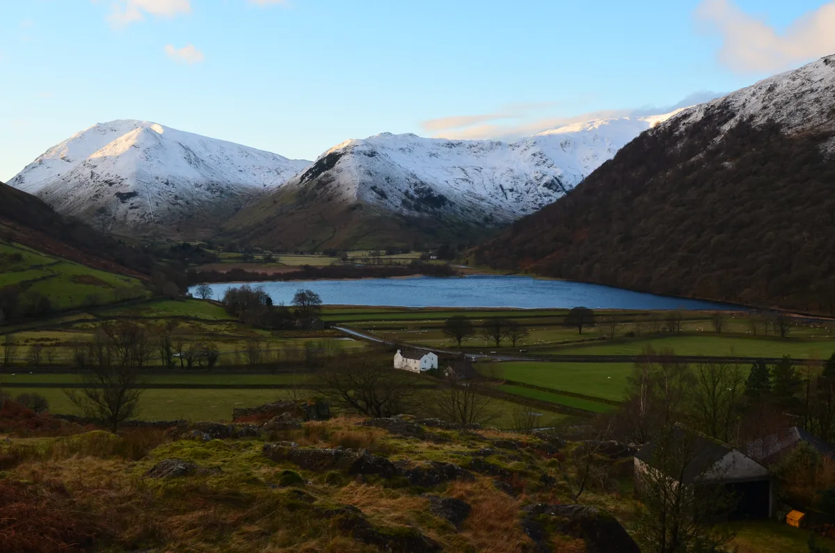
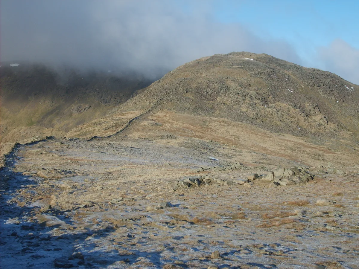
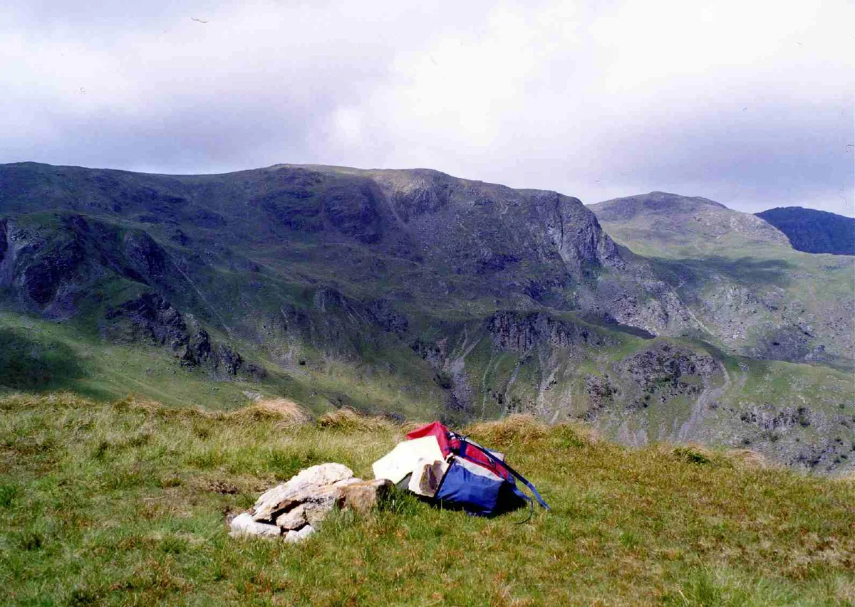
Photo gallery
Protected designations
- Site of Special Scientific Interest: Helvellyn & Fairfield SSSI
- Site of Special Scientific Interest: River Eden and Tributaries SSSI
Designations sourced from Natural England open data under OGL v3.
From the Wikipedia article
Hartsop above How is a fell in the English Lake District, an outlier of the Helvellyn range in the Eastern Fells. It stands above Brothers Water and the Ullswater–Ambleside road.
Excerpt from Wikipedia under CC BY-SA 4.0. See the source article linked in Sources below.
- Coordinates
- 54.4996, -2.9539
- Address
- Cumbria, England
Sources
- osm: n29728745 (ODbL)
- wikipedia: Hartsop above How (CC BY-SA 4.0)
- commons: Hartsop above How - geograph.org.uk - 343106.jpg (CC BY-SA 4.0)
Other places nearby
Loading nearby places…
Nearby
 📷 3
📷 3Natural landmarks · North West England
Hartsop above How
Hartsop above How — mountain in United Kingdom.
 📷 3
📷 3Natural landmarks · North West England
High Hartsop Dodd
High Hartsop Dodd — mountain in United Kingdom.
 📷 3
📷 3Mountains & hills · North West England
High Hartsop Dodd
High Hartsop Dodd — Named summit at 519 m.
 📷 3
📷 3Mountains & hills · North West England
Hart Crag
Hart Crag — Named summit at 823.1 m.
 📷 3
📷 3Mountains & hills · North West England
Dove Crag
Dove Crag — Named summit at 792 m.
 📷 3
📷 3Natural landmarks · North West England
Dove Crag
Dove Crag — mountain in United Kingdom.
More mountains in this region
 📷 3
📷 3Mountains & hills · North West England
Allen Crags
Allen Crags — Named summit at 785 m.
 📷 3
📷 3Mountains & hills · North West England
Alum Pot
Alum Pot — Open shaft pothole in North Yorkshire.
 📷 3
📷 3Mountains & hills · North West England
Arnside Knott
Arnside Knott — Named summit at 159 m.
 📷 3
📷 3Mountains & hills · North West England
Aye Gill Pike
Aye Gill Pike — Named summit at 556.3 m.
Frequently asked questions
- Where is Hartsop Above How?
- Hartsop Above How is in North-West England, United Kingdom.
- Is Hartsop Above How a protected site?
- Yes — Hartsop Above How is part of the Helvellyn & Fairfield SSSI Site of Special Scientific Interest and the River Eden and Tributaries SSSI Site of Special Scientific Interest.
- Is Hartsop Above How free to visit?
- Yes, Hartsop Above How is free to enter.