Archaeological sites · South West England
Haldon Forest
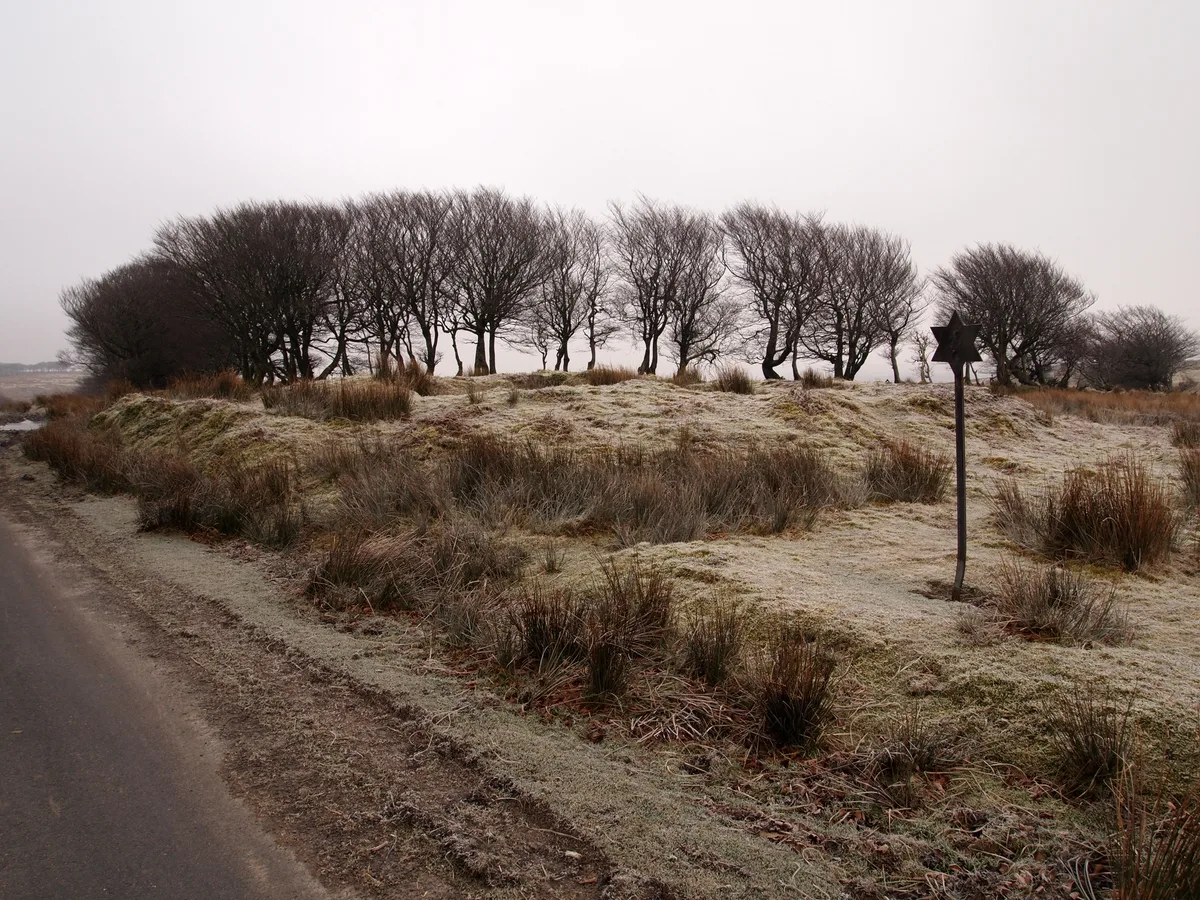
Haldon Forest — forest in Devon, United Kingdom.

Wikimedia Commons contributors — see linked file page for photographer and licence licence
Plan your visit
- Typical visit
- 45 min–1.5 h
- Nearest railway station
- Marsh Barton · 7.3 km
- Free entry
- Dog-friendly
About
Haldon Forest is an archaeological site in the United Kingdom. Wikidata describes it as: "forest in Devon, United Kingdom". Coordinates: 50.6524°, -3.5853°.
Photo gallery
Protected designations
- Site of Special Scientific Interest: Haldon Forest SSSI
Designations sourced from Natural England open data under OGL v3.
From the Wikipedia article
Haldon Forest is a forest located in the Haldon Hills, Devon, England. The forest consists of several different woods. Geographically, Haldon Forest is located between the towns of Chudleigh and Exminster and is south of Exeter.
Excerpt from Wikipedia under CC BY-SA 4.0. See the source article linked in Sources below.
- Coordinates
- 50.6524, -3.5853
- County
- Devon
- District
- Teignbridge
- Parish
- Kenn
- Postcode
- EX6 7XR
- Parliamentary constituency
- Central Devon
- Established
- 500
- Nearest railway station
- Marsh Barton — 7.3 km
- Official site
- goape.co.uk
Sources
- wikidata: Q5641298 (CC0)
- wikipedia: Haldon Forest (CC BY-SA 4.0)
- commons: Treetop obstacle course, Haldon Forest Park - geograph.org.uk - 1651949.jpg (CC BY-SA 4.0)
Other places nearby
Loading nearby places…
Nearby
Mountain bike trails · South West England
Kiddens Trail (Blue - moderate)
Kiddens Trail (Blue - moderate) — a mtb trail in england south west.
 📷 5
📷 5Quarries · South West England
Buller's Hill Quarry
Buller's Hill Quarry — protected area in Devon, England.
Mountain bike trails · South West England
Discovery Trail (Green - Easy)
Discovery Trail (Green - Easy) — a mtb trail in england south west.
 📷 5
📷 5Viewpoints · South West England
Bird of Prey Viewpoint
Bird of Prey Viewpoint is a viewpoint in the United Kingdom.
Mountain bike trails · South West England
Ridge Ride Trail (Red - Difficult)
Ridge Ride Trail (Red - Difficult) — a mtb trail in england south west.
Mountain bike trails · South West England
Spicers Trail (Blue - moderate)
Spicers Trail (Blue - moderate) — a mtb trail in england south west.
More archaeological sites in this region
 📷 3
📷 3Archaeological sites · South West England
A partly enclosed stone hut circle settlement on Kennon Hill
A partly enclosed stone hut circle settlement on Kennon Hill — archaeological site in Throwleigh, West Devon, England, UK.
.jpg?width=1200) 📷 5
📷 5Archaeological sites · South West England
A prehistoric and historic archaeological landscape within Merrivale Newtake
A prehistoric and historic archaeological landscape within Merrivale Newtake — archaeological site in Dartmoor Forest, West Devon, England, UK.
.jpg?width=1200) 📷 5
📷 5Archaeological sites · South West England
A prehistoric settlement with cairns and a historic tin mill, streamwork and buildings lying adjacent to the Langcombe Brook
A prehistoric settlement with cairns and a historic tin mill, streamwork and buildings lying adjacent to the Langcombe Brook — archaeological site in Shaugh Prior, South Hams, England, UK.
 📷 5
📷 5Archaeological sites · South West England
Alderman's Barrow at N of Almsworthy Common
Alderman's Barrow at N of Almsworthy Common — burial mound on Exmoor.
Frequently asked questions
- Where is Haldon Forest?
- Haldon Forest is in Devon, South-West England, United Kingdom (postcode EX6 7XR), in the parish of Kenn.
- When was Haldon Forest built?
- Built or established in 500.
- Who owns Haldon Forest?
- Haldon Forest is owned by Forestry England.
- Is Haldon Forest a protected site?
- Yes — Haldon Forest is part of the Haldon Forest SSSI Site of Special Scientific Interest.
- How do I get to Haldon Forest?
- The nearest railway station is Marsh Barton, about 7.3 km away. Drivers can navigate to postcode EX6 7XR.