Mountains & hills · North East England
Grey Knotts
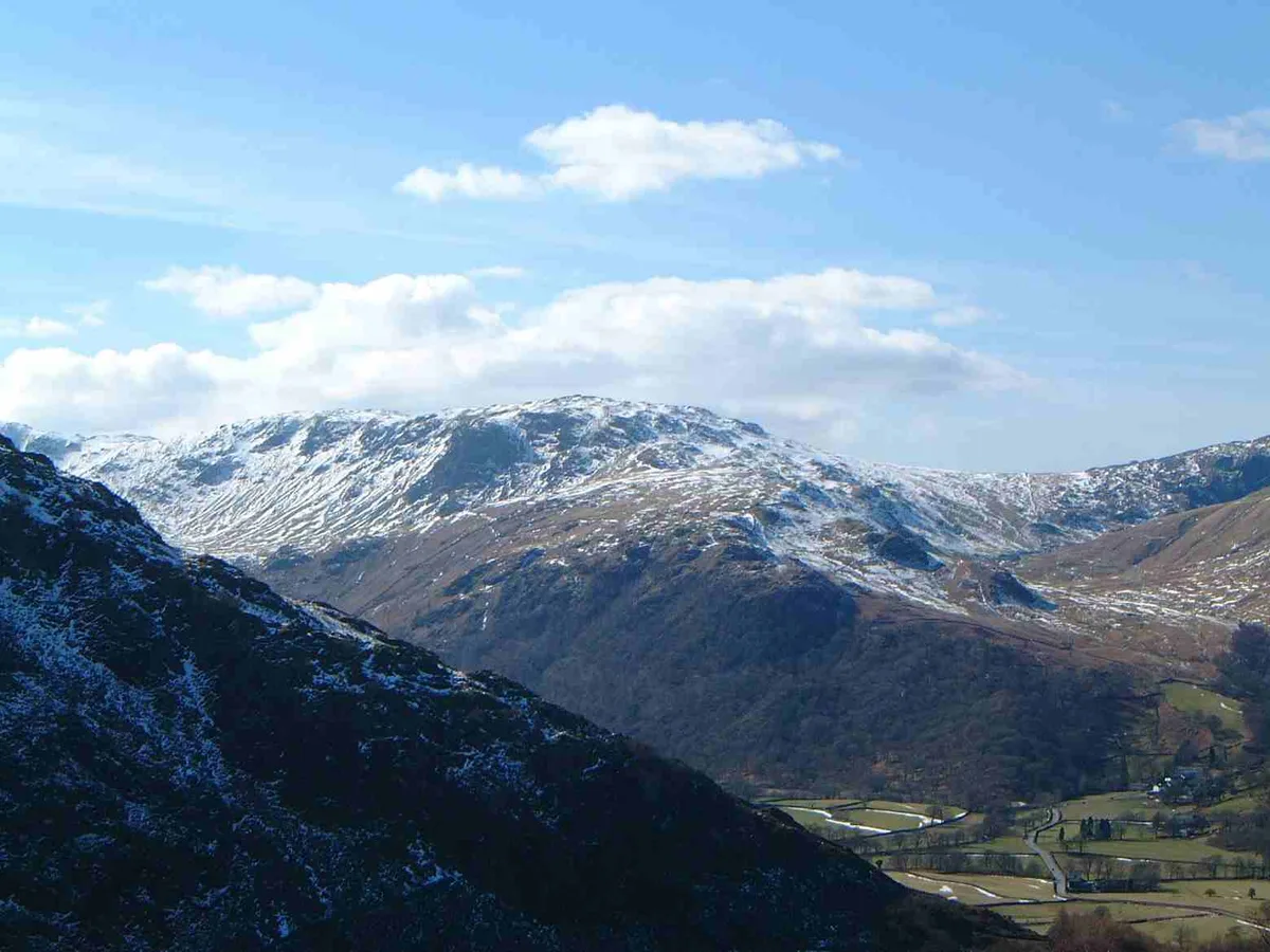
Grey Knotts — Named summit at 697 m.

Wikimedia Commons contributors — see linked file page for photographer and licence licence
Plan your visit
- Typical visit
- 3 h–8 h
- Best time of year
- Late spring – early autumn (May–Oct)
- Free entry
- Dog-friendly
About
Grey Knotts is a named summit in the United Kingdom. Wikidata describes it as: "Named summit at 697 m.". Coordinates: 54.5023°, -3.2102°.
Photo gallery
Protected designations
- Site of Special Scientific Interest: River Derwent and Tributaries SSSI
Designations sourced from Natural England open data under OGL v3.
From the Wikipedia article
Grey Knotts is a fell in the English Lake District. It is situated one kilometre (2⁄3 mile) south of the B5289 road as it crosses the Honister Pass. It is well seen from mid-Borrowdale as it rises above Seatoller. Grey Knotts reaches a height of 697 metres (2,287 feet) and is part of a ridge which ascends from the woodland behind Seatoller and continues south-west and then south for four kilometres to Great Gable. The fell's name really only applies to the summit rocks, but has been adopted for the entire fell with the high ground in this area, locally known as Seatoller Fell on Ordnance Survey maps.
Excerpt from Wikipedia under CC BY-SA 4.0. See the source article linked in Sources below.
- Coordinates
- 54.5023, -3.2102
- District
- Cumberland
- Parish
- Borrowdale
- Postcode
- CA12 5XJ
- Parliamentary constituency
- Penrith and Solway
Sources
- osm: n4871717423 (ODbL)
- wikipedia: Grey Knotts (CC BY-SA 4.0)
- commons: Grey Knotts from above the Stonethwaite valley.jpg (CC BY-SA 4.0)
Other places nearby
Loading nearby places…
Nearby
 📷 3
📷 3Natural landmarks · North East England
Grey Knotts
Grey Knotts — mountain in United Kingdom.
Climbing & bouldering crags · North East England
Raven Crag
Raven Crag — a climbing crag in england north east.
 📷 5
📷 5Mountains & hills · North West England
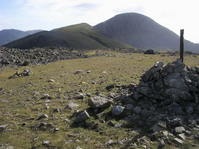
Brandreth
Brandreth — Named summit at 715 m.
 📷 5
📷 5Natural landmarks · North West England
Brandreth
Brandreth — mountain in United Kingdom.
 📷 3
📷 3Public art & sculpture · North East England
Loss
Loss — a public art in england-north-east, United Kingdom.
 📷 3
📷 3Public art & sculpture · North East England
Perseverance
Perseverance — a public art in england-north-east, United Kingdom.
More mountains in this region
 📷 3
📷 3Mountains & hills · North East England
Angletarn Pikes
Angletarn Pikes — Named summit at 566 m.
 📷 3
📷 3Mountains & hills · North East England
Angletarn Pikes South Top
Angletarn Pikes South Top — Named summit at 563.6 m.
 📷 3
📷 3Mountains & hills · North East England
Ard Crags
Ard Crags — Named summit at 581 m.
 📷 3
📷 3Mountains & hills · North East England
Arnison Crag
Arnison Crag — Named summit at 433 m.
Frequently asked questions
- Where is Grey Knotts?
- Grey Knotts is in North-East England, United Kingdom (postcode CA12 5XJ), in the parish of Borrowdale.
- Is Grey Knotts a protected site?
- Yes — Grey Knotts is part of the River Derwent and Tributaries SSSI Site of Special Scientific Interest.
- Is Grey Knotts free to visit?
- Yes, Grey Knotts is free to enter.
- How do I get to Grey Knotts?
- Drivers can navigate to postcode CA12 5XJ. It sits within the Penrith and Solway parliamentary constituency.