Campsites · West Midlands
Greenway Farm Campsite
Greenway Farm Campsite — a campsite in england west midlands.
Plan your visit
- Typical visit
- 1 h–2 h
About
Greenway Farm Campsite is a campsite located in england west midlands. Address: Puddlebrook Road, GL17 9HW. Campsite listed with verified location and OSM metadata. Pitch availability, facilities (toilets, showers, electric hookup) and seasonal opening vary — confirm directly.
- Coordinates
- 51.8635, -2.5168
- Postcode
- GL17 9HW
- Official site
- greenwayfarm.org
Sources
- osm: n510801802 (ODbL)
Other places nearby
Loading nearby places…
Nearby
 📷 3
📷 3Parks · West Midlands
Mitcheldean Meend Marsh
Mitcheldean Meend Marsh — park in United Kingdom.
 📷 5
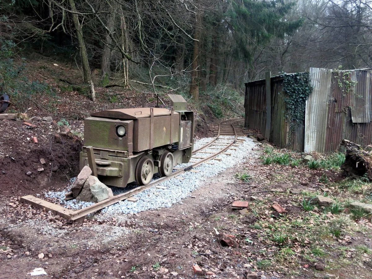
📷 5Heritage railways · West Midlands
Lea Bailey Light Railway
Lea Bailey Light Railway is a heritage railway in the United Kingdom.
 📷 5
📷 5Heritage railways · West Midlands
Lea Bailey Light Railway
Lea Bailey Light Railway is a heritage railway in the United Kingdom.
 📷 5
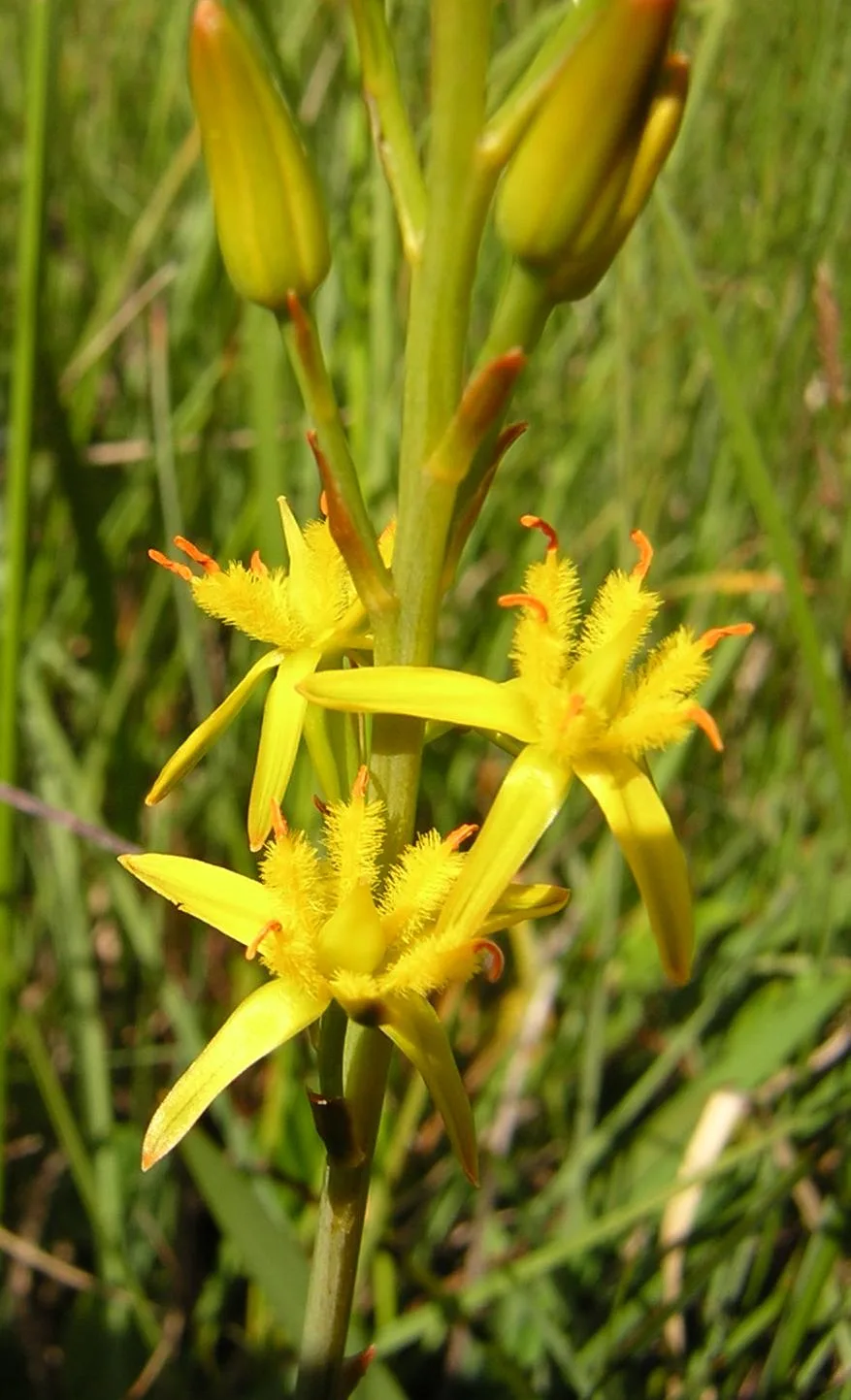
📷 5Wildlife reserves · West Midlands
Wigpool
Wigpool — nature reserve in Gloucestershire, England, UK.
 📷 5
📷 5Wildlife reserves · South East England
Stenders Quarry
Stenders Quarry (grid reference SO659183) is a 2.8-hectare (6.9-acre) biological and geological Site of Special Scientific Interest in the Forest of Dean, Gloucestershire, England, notified in 1966 an
 📷 5
📷 5Museums · West Midlands
Mitcheldean
Mitcheldean — a museum in england-west-midlands, United Kingdom.
More places in this region
Campsites · West Midlands
Fox Covert Scout Camp
Fox Covert Scout Camp — a campsite in england west midlands.
Campsites · West Midlands
5th Urmston (Aquilifer) Scout Camp Site
5th Urmston (Aquilifer) Scout Camp Site — a campsite in england west midlands.
Campsites · West Midlands
Norcott Campsite - Camping In The Orchard
Norcott Campsite - Camping In The Orchard — a campsite in england west midlands.
Campsites · West Midlands
Home Farm
Home Farm — a campsite in england west midlands.
Frequently asked questions
- Where is Greenway Farm Campsite?
- Greenway Farm Campsite is in West Midlands, in the United Kingdom — coordinates 51.8635°, -2.5168°.