Mountains & hills · North West England
Green Crag
Green Crag — Named summit at 488.7 m.

Wikimedia Commons contributors — see linked file page for photographer and licence licence
Plan your visit
- Typical visit
- 3 h–8 h
- Best time of year
- Late spring – early autumn (May–Oct)
- Nearest railway station
- Dalegarth · 3.6 km
- Free entry
- Dog-friendly
About
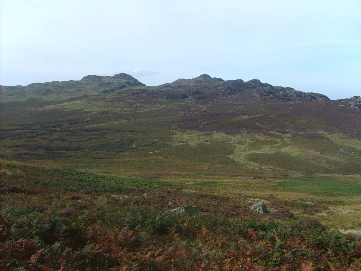
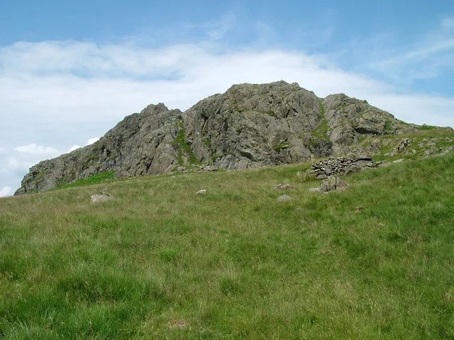
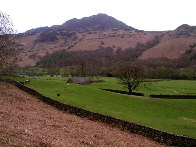
Green Crag is a named summit in the United Kingdom. Wikidata describes it as: "Named summit at 488.7 m.". Coordinates: 54.3737°, -3.2328°.
Photo gallery
From the Wikipedia article
Green Crag is a fell in the English Lake District. It stands between Eskdale and the Duddon valley in the Southern Fells. The northern slopes of Green Crag are in the civil parish of Eskdale, while the southern slopes are in the civil parish of Ulpha. Both are in the unitary authority area of Cumberland and the ceremonial county of Cumbria.
Excerpt from Wikipedia under CC BY-SA 4.0. See the source article linked in Sources below.
- Coordinates
- 54.3737, -3.2328
- Address
- Cumbria, England
- Nearest railway station
- Dalegarth — 3.6 km
Sources
- osm: n29877486 (ODbL)
- wikipedia: Green Crag (CC BY-SA 4.0)
- commons: Green Crag.JPG (CC BY-SA 4.0)
Other places nearby
Loading nearby places…
Nearby
 📷 3
📷 3Natural landmarks · North West England
Green Crag
Green Crag — mountain in Cumbria, United Kingdom.
 📷 3
📷 3Archaeological sites · North West England
Great Crag prehistoric cairnfield and associated field system 710m south east of Birkerthwaite
Great Crag prehistoric cairnfield and associated field system 710m south east of Birkerthwaite — archaeological site in Eskdale, Copeland, England, UK.
 📷 3
📷 3Mountains & hills · North West England
Harter Fell
Harter Fell — Named summit at 653.2 m.
 📷 3
📷 3Natural landmarks · North West England
Harter Fell
Harter Fell — mountain in Eskdale, Cumberland, Cumbria, England.
 📷 3
📷 3Historic bridges · North West England
Wha House Bridge
Wha House Bridge is a historic bridge in the United Kingdom.
 📷 3
📷 3Archaeological sites · North West England
St Catherine's Well
St Catherine's Well — a archaeological in england-north-west, United Kingdom.
More mountains in this region
 📷 3
📷 3Mountains & hills · North West England
Allen Crags
Allen Crags — Named summit at 785 m.
 📷 3
📷 3Mountains & hills · North West England
Alum Pot
Alum Pot — Open shaft pothole in North Yorkshire.
 📷 3
📷 3Mountains & hills · North West England
Arnside Knott
Arnside Knott — Named summit at 159 m.
 📷 3
📷 3Mountains & hills · North West England
Aye Gill Pike
Aye Gill Pike — Named summit at 556.3 m.
Frequently asked questions
- Where is Green Crag?
- Green Crag is in North-West England, United Kingdom.
- Is Green Crag free to visit?
- Yes, Green Crag is free to enter.
- How do I get to Green Crag?
- The nearest railway station is Dalegarth, about 3.6 km away.