Historic churches · London
Gravesham
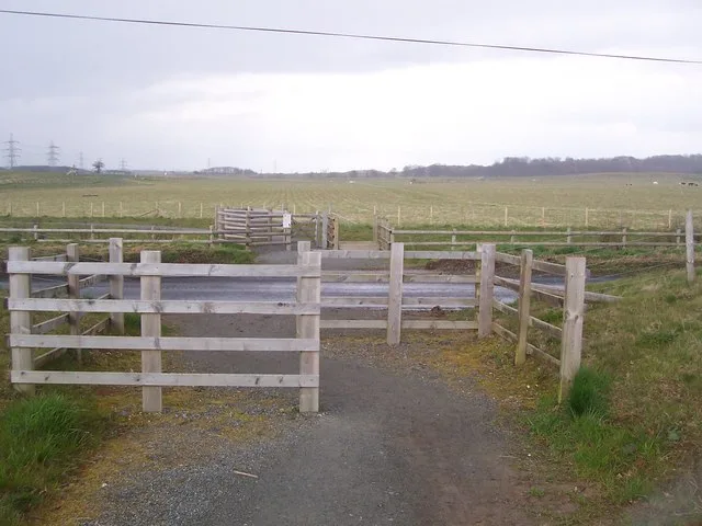
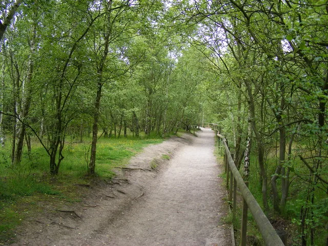
Gravesham ( GRAYV-shəm) is a local government district with borough status in north-west Kent, England. The council is based in its largest town of Gravesend. The borough is indirectly named after Gra

David Anstiss — CC BY-SA 2.0 via Wikimedia Commons licence
Plan your visit
- Typical visit
- 30 min–1 h
- Free entry
About
Gravesham ( GRAYV-shəm) is a local government district with borough status in north-west Kent, England. The council is based in its largest town of Gravesend. The borough is indirectly named after Gravesend, using the form of the town's name as it appeared in the Domesday Book of 1086. The district also contains Northfleet and a number of villages and surrounding rural areas. Parts of the borough lie within the Kent Downs, a designated Area of Outstanding Natural Beauty. The neighbouring districts are Dartford, Sevenoaks, Tonbridge and Malling, and Medway, plus Thurrock on the opposite side of the River Thames. Gravesham is twinned with Cambrai in Hauts-de-France, France and Neumünster in Schleswig-Holstein, Germany. The Gravesham parliamentary constituency covers the same area as the borough.
Photo gallery
From the Wikipedia article
Gravesham ( GRAYV-shəm) is a local government district with borough status in north-west Kent, England. The council is based in its largest town of Gravesend. The borough is indirectly named after Gravesend, using the form of the town's name as it appeared in the Domesday Book of 1086. The district also contains Northfleet and a number of villages and surrounding rural areas. Parts of the borough lie within the Kent Downs, a designated Area of Outstanding Natural Beauty. The neighbouring districts are Dartford, Sevenoaks, Tonbridge and Malling, and Medway, plus Thurrock on the opposite side of the River Thames. Gravesham is twinned with Cambrai in Hauts-de-France, France and Neumünster in Schleswig-Holstein, Germany. The Gravesham parliamentary constituency covers the same area as the borough.
Excerpt from Wikipedia under CC BY-SA 4.0. See the source article linked in Sources below.
Background
History
The first borough in the area of modern Gravesham was "Gravesend and Milton", an ancient borough which had been incorporated in 1568 by Elizabeth I. The borough had been reformed in 1836 to become a municipal borough, at which point the name was changed to just "Gravesend". The modern district was created on 1 April 1974 under the Local Government Act 1972, covering the whole area of two former districts and parts of a third, which were all abolished at the same time: The new district was named Gravesham, using the form of Gravesend's name which had appeared in the Domesday Book. The choice of name was not without criticism; Robert Heath Hiscock, chairman of the Gravesend Historical…
Sourced from Wikipedia under CC BY-SA 4.0.
- Coordinates
- 51.4090, 0.3990
- County
- Kent
- District
- Gravesham
- Parish
- Shorne
- Postcode
- DA12 4AB
- Parliamentary constituency
- Gravesham
- Official site
- www.gravesham.gov.uk
Sources
- wikipedia: Gravesham (CC BY-SA 4.0)
Other places nearby
Loading nearby places…
Nearby
 📷 5
📷 5Parks · London
Jeskyns
Jeskyns — park in United Kingdom.
 📷 5
📷 5Memorials & monuments · London
Gravesend Airfield
Gravesend Airfield — a memorial in england-london, United Kingdom.
📷 5Memorials & monuments · London
RAF Gravesend 1939-1944
RAF Gravesend 1939-1944 — a memorial in england-london, United Kingdom.
 📷 5
📷 5Forests & woodlands · London
Jeskyns Community Woodland
Jeskyns Community Woodland is a forest or woodland in the United Kingdom.
 📷 5
📷 5Parks · London
Shorne Woods Country Park
Shorne Woods Country Park — park in United Kingdom.
 📷 5
📷 5Memorials & monuments · London
Dadd's Hole
Dadd's Hole — a memorial in england-london, United Kingdom.
More places in this region
 📷 5
📷 5Historic churches · London
Abney Park Chapel
Abney Park Chapel — grade II listed church in the London Borough of Hackney, England,UK.
 📷 5
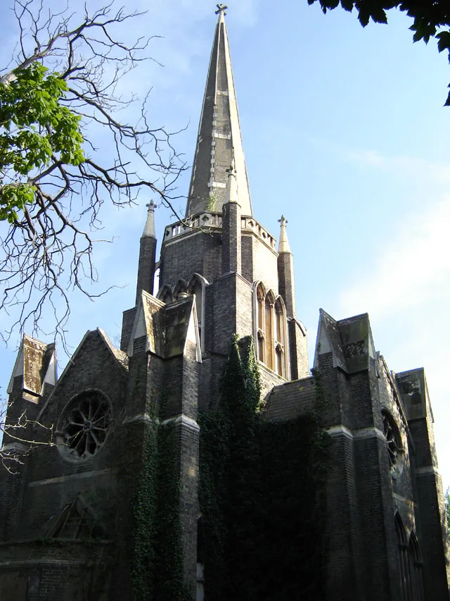
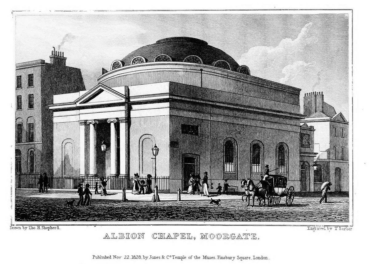
📷 5Historic churches · London
Albion Chapel
Albion Chapel — church in London, UK.
 📷 5
📷 5Historic churches · London
All Hallows Bread Street
All Hallows Bread Street — church in City of London, UK.
 📷 5
📷 5Historic churches · London
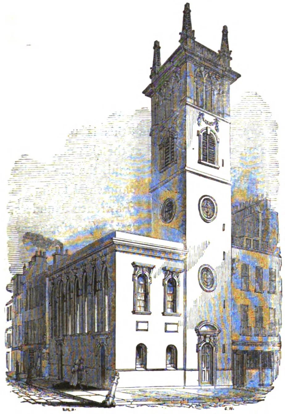
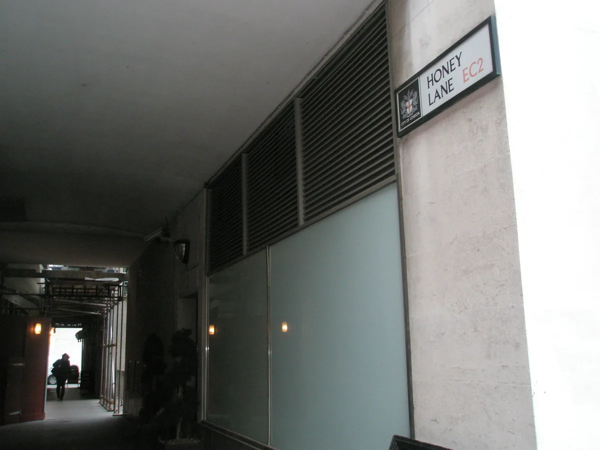
All Hallows Honey Lane
All Hallows Honey Lane — church in City of London, UK.
Frequently asked questions
- Where is Gravesham?
- Gravesham is in Kent, London, United Kingdom (postcode DA12 4AB), in the parish of Shorne.
- Who owns Gravesham?
- Gravesham is owned by Gravesham Borough Council.
- Is Gravesham free to visit?
- Yes, Gravesham is free to enter.
- How do I get to Gravesham?
- Drivers can navigate to postcode DA12 4AB. It sits within the Gravesham parliamentary constituency.