Mines & mining heritage · Mid Wales
Goginan
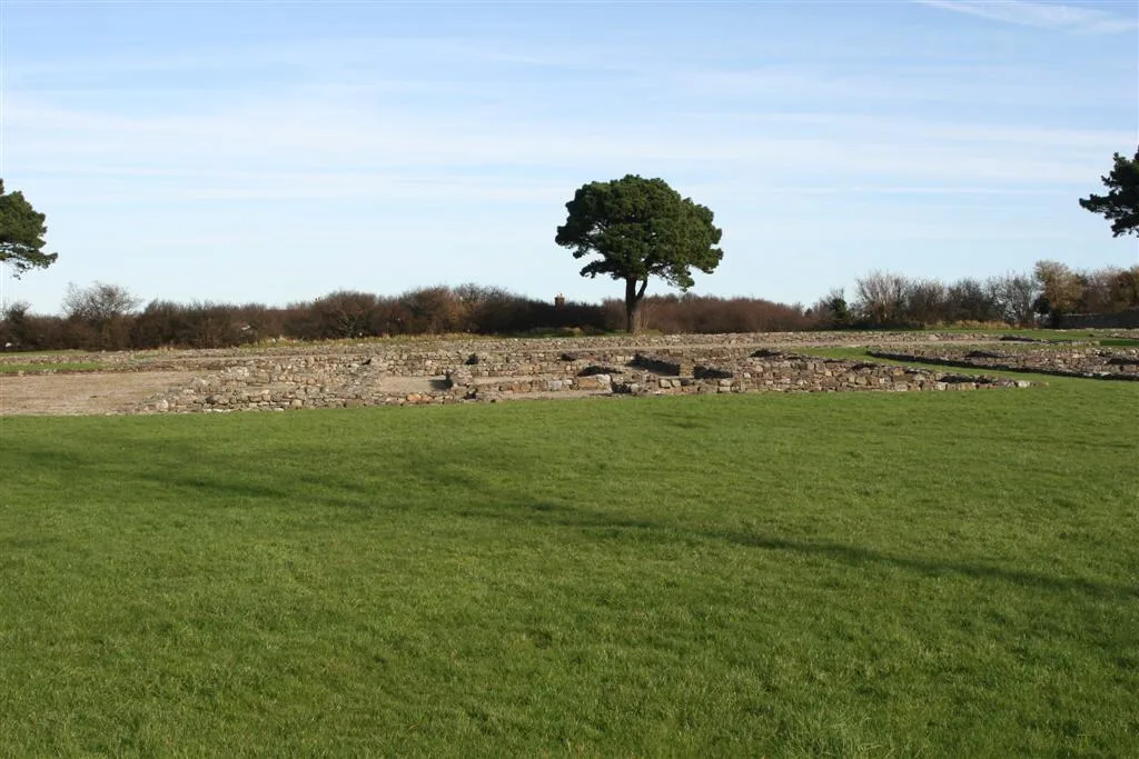
Goginan in Wales Mid, United Kingdom.

Richard Law — CC BY-SA 2.0 via Wikimedia Commons licence
Plan your visit
- Typical visit
- 1 h–2 h
About
Goginan is a place of interest in Wales Mid, United Kingdom — drawn from open-data sources for visitor reference. See the linked Wikipedia article for the full description.
Photo gallery
From the Wikipedia article
Goginan is a small village in Ceredigion, Wales, about 7 miles outside Aberystwyth on the A44 between Ponterwyd and Capel Bangor. Afon Melindwr runs through the village, and is a tributary of the Afon Rheidol. The village originally grew around farms in the area, but increased with the development of local mines. To the east of the villages lies a Grade II Listed 19th century house thought to be associated with the lead mines in the area; it is probably the Goginan mine manager's house. Cadw Building ID: 9857.
Excerpt from Wikipedia under CC BY-SA 4.0. See the source article linked in Sources below.
- Coordinates
- 52.4120, -3.9300
- District
- Ceredigion
- Parish
- Melindwr
- Postcode
- SY23 3NT
- Parliamentary constituency
- Ceredigion Preseli
Sources
Other places nearby
Loading nearby places…
Nearby
📷 3Other places · Mid Wales
Dollwen
Dollwen in Wales Mid, United Kingdom.
 📷 5
📷 5Historic bridges · Mid Wales
Pont Ysgubor Newydd
Pont Ysgubor Newydd — Grade II listed building-listed bridge in wales-mid, United Kingdom.
Campsites · Mid Wales
Aber Camping
Aber Camping — a campsite in wales mid.
Vineyards · Mid Wales
Castell Goginan Fach
Castell Goginan Fach — a UK vineyard in wales mid, producing English or Welsh wine from cool-climate grape varieties.
Vineyards · Mid Wales
Tan-y-ffordd
Tan-y-ffordd — a UK vineyard in wales mid, producing English or Welsh wine from cool-climate grape varieties.
 📷 3
📷 3Hill forts · Mid Wales
Caer Rufeinig Pen-llwyn
Caer Rufeinig Pen-llwyn — archaeological site in Ceredigion, Wales, UK.
More places in this region
 📷 4
📷 4Mines & mining heritage · Mid Wales
Caio
Caio in Wales Mid, United Kingdom.
 📷 4
📷 4Mines & mining heritage · Mid Wales
Afon Twrch
Afon Twrch in Wales Mid, United Kingdom.
 📷 2
📷 2Mines & mining heritage · Mid Wales
Cynwyl Gaeo
Cynwyl Gaeo in Wales Mid, United Kingdom.
 📷 4
📷 4Mines & mining heritage · Mid Wales
Llanfair Clydogau
Llanfair Clydogau in Wales Mid, United Kingdom.
Frequently asked questions
- Where is Goginan?
- Goginan is in Mid Wales, in the United Kingdom — coordinates 52.4120°, -3.9300°.