Mountains & hills · North East England
Gavel Fell (summit)
Gavel Fell (summit) — Named summit at 524.3 m.

Wikimedia Commons contributors — see linked file page for photographer and licence licence
Plan your visit
- Typical visit
- 3 h–8 h
- Best time of year
- Late spring – early autumn (May–Oct)
- Free entry
- Dog-friendly
About
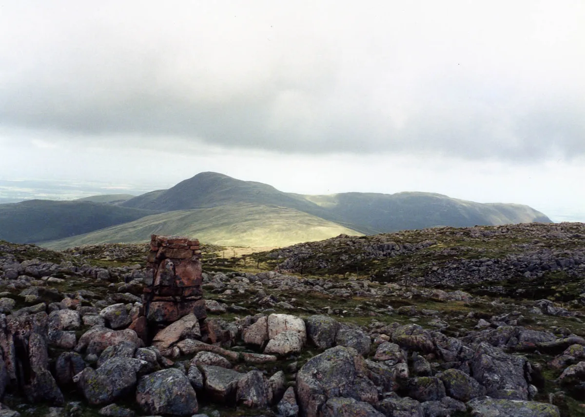
Gavel Fell (summit) is a named summit in the United Kingdom. Wikidata describes it as: "Named summit at 524.3 m.". Coordinates: 54.5540°, -3.3674°.
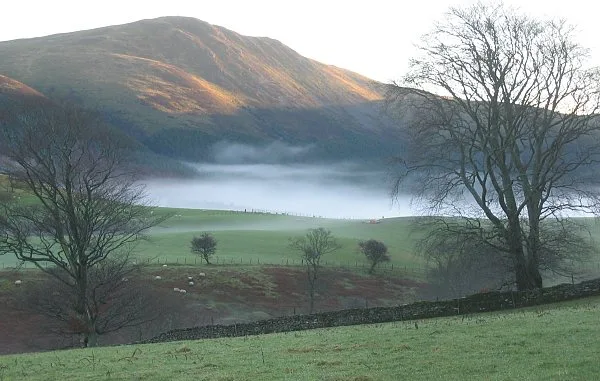
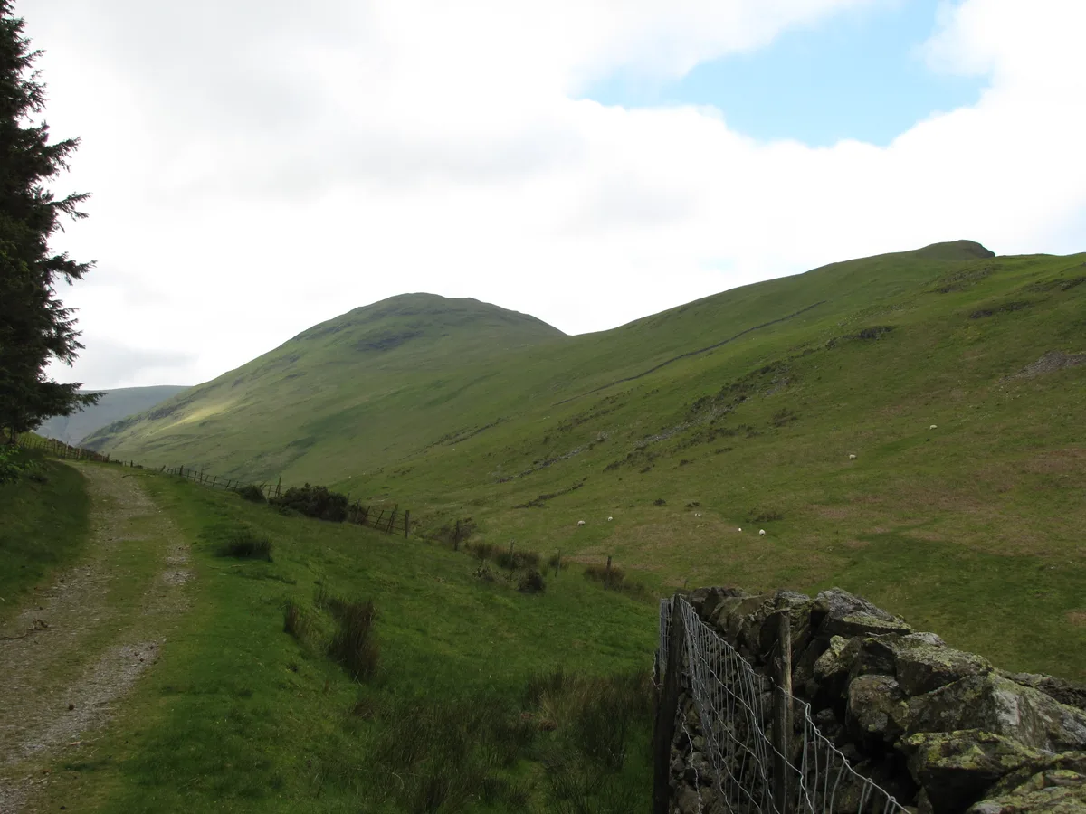
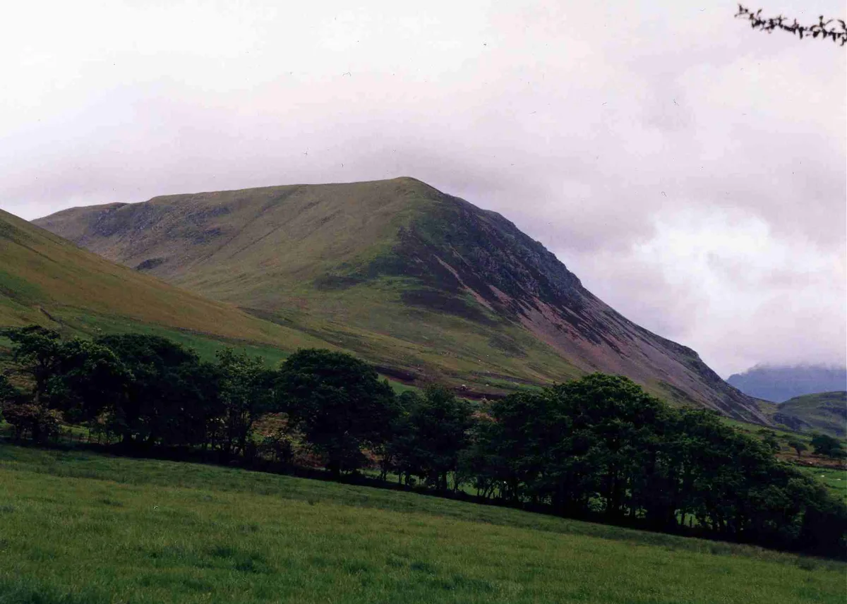
Photo gallery
Protected designations
- Site of Special Scientific Interest: River Derwent and Tributaries SSSI
Designations sourced from Natural England open data under OGL v3.
From the Wikipedia article
Gavel Fell is a hill in the English Lake District. Centremost of the five Loweswater Fells in the western part of the District, it stands between Hen Comb and Blake Fell. Of moderate altitude it can be climbed from Loweswater village, or from Croasdale to the west.
Excerpt from Wikipedia under CC BY-SA 4.0. See the source article linked in Sources below.
- Coordinates
- 54.5540, -3.3674
- Address
- Cumbria, England
Sources
- osm: n29958538 (ODbL)
- wikipedia: Gavel Fell (CC BY-SA 4.0)
- commons: Gavel Fell from Great Borne.jpg (CC BY-SA 4.0)
Other places nearby
Loading nearby places…
Nearby
 📷 3
📷 3Natural landmarks · North East England
Gavel Fell
Gavel Fell — mountain in United Kingdom.
 📷 5
📷 5Natural landmarks · North East England
Blake Fell
Blake Fell — mountain in United Kingdom.
 📷 5
📷 5Mountains & hills · North East England
Blake Fell
Blake Fell — Named summit at 572.6 m.
 📷 3
📷 3Mountains & hills · North East England
Hen Comb
Hen Comb — Named summit at 506.2 m.
 📷 4
📷 4Mountains & hills · North East England
Great Borne
Great Borne — Named summit at 616 m.
 📷 4
📷 4Natural landmarks · North East England
Great Borne
Great Borne — mountain in United Kingdom.
More mountains in this region
 📷 3
📷 3Mountains & hills · North East England
Angletarn Pikes
Angletarn Pikes — Named summit at 566 m.
 📷 3
📷 3Mountains & hills · North East England
Angletarn Pikes South Top
Angletarn Pikes South Top — Named summit at 563.6 m.
 📷 3
📷 3Mountains & hills · North East England
Ard Crags
Ard Crags — Named summit at 581 m.
 📷 3
📷 3Mountains & hills · North East England
Arnison Crag
Arnison Crag — Named summit at 433 m.
Frequently asked questions
- Where is Gavel Fell (summit)?
- Gavel Fell (summit) is in North-East England, United Kingdom.
- Is Gavel Fell (summit) a protected site?
- Yes — Gavel Fell (summit) is part of the River Derwent and Tributaries SSSI Site of Special Scientific Interest.
- Is Gavel Fell (summit) free to visit?
- Yes, Gavel Fell (summit) is free to enter.