Towns & cities · Scottish Highlands
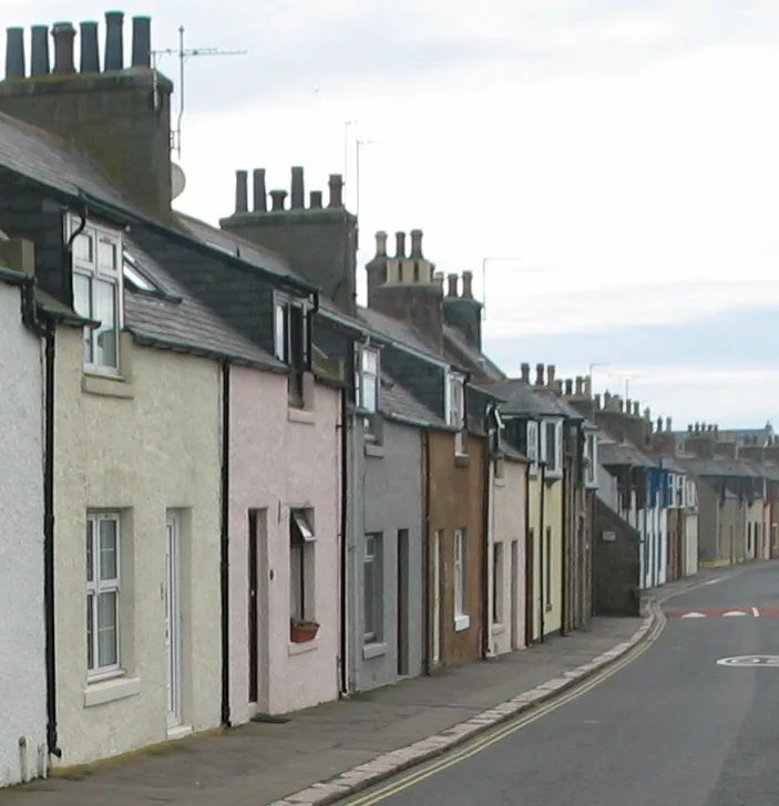
Gatehead
Gatehead — village in East Ayrshire, Scotland, UK.

Wikimedia Commons contributors — see linked file page for photographer and licence licence
Plan your visit
- Typical visit
- 3 h–6 h
- Nearest railway station
- Kilmarnock · 3.6 km
- Free entry
- Family-friendly
- Dog-friendly
About
Gatehead is a town, city, village or settlement in the United Kingdom. Wikidata describes it as: "village in East Ayrshire, Scotland, UK". Coordinates: 55.5955°, -4.5486°.
Photo gallery
From the Wikipedia article
The village or hamlet of Gatehead is in East Ayrshire, Kilmaurs, Scotland. It is one and a quarter miles from Crosshouse and one and a half miles from Kilmarnock. In the 18th and 19th centuries the locality was a busy coal mining district. The settlement runs down to the River Irvine where a ford and later a bridge was located.
Excerpt from Wikipedia under CC BY-SA 4.0. See the source article linked in Sources below.
Background
History
Gatehead is most likely to have been named after the Turnpike road and the toll bar or gate. A 'Gatehead Toll Bar' is still marked nearby on the road to Laigh Milton mill and the Craig House estate as late as 1860 on the Ordnance Survey (OS) map of that year. 'Gatehead' is apparently first recorded marked on General Roy's Military Survey map of Scotland (1745–55) and then by Armstrong's 1775 map. The Historic Environment Scotland website records the site of a Tollhouse at NS 38987 36702. Archibald Adamson records a walk through Old Rome and Gatehead in 1875. He mentions a neat lodge house at Fairlie, then owned by a Captain Tait and records that the Irvine bridge has recently replaced an…
Description
This barony, once part of the Barony of Kilmaurs, ran from Kilmaurs south to the river Irvine. It had no manor house and belonged to the Eglinton family latterly. The following properties were part of the barony: Gatehead, parts of Kilmaurs, Craig, Woodhills, Greenhill, Altonhill, Plann, Hayside, Thorntoun, Rash-hill Park, Milton, Windyedge, Fardelhill, Muirfields, Corsehouse and Knockentiber and Busbie.
Sourced from Wikipedia under CC BY-SA 4.0.
- Coordinates
- 55.5955, -4.5486
- District
- East Ayrshire
- Postcode
- KA2 0AL
- Parliamentary constituency
- Kilmarnock and Loudoun
- Nearest railway station
- Kilmarnock — 3.6 km
Sources
- wikidata: Q1495758 (CC0)
- wikipedia: Gatehead, East Ayrshire (CC BY-SA 4.0)
- commons: Gateheadlevelcrossing1.JPG (CC BY-SA 4.0)
Other places nearby
Loading nearby places…
Nearby
 📷 5
📷 5Historic bridges · Scottish Highlands
Old Rome Bridge, Gatehead
Old Rome Bridge, Gatehead — category C listed building-listed bridge in scotland-highlands, United Kingdom.
 📷 4
📷 4Historic bridges · Scottish Highlands
Laigh Milton Viaduct
Laigh Milton Viaduct is a historic bridge in the United Kingdom.
 📷 3
📷 3Castles · Scottish Highlands
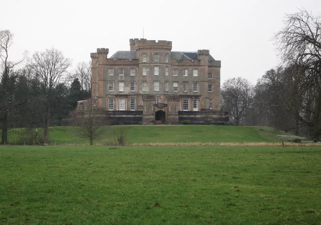
Caprington Castle
Caprington Castle — castle in East Ayrshire, Scotland, UK.
Vineyards · Scottish Highlands
Gargieston
Gargieston — a UK vineyard in scotland highlands, producing English or Welsh wine from cool-climate grape varieties.
 📷 3
📷 3Memorials & monuments · Scottish Highlands
Andrew Fisher Memorial
Andrew Fisher Memorial — a memorial in scotland-highlands, United Kingdom.
 📷 3
📷 3Memorials & monuments · Scottish Highlands
Andrew Fisher Library
Andrew Fisher Library — a memorial in scotland-highlands, United Kingdom.
More towns in this region
 Flagship📷 3
Towns & cities · Scottish Highlands
Cruden Bay
Cruden Bay — village in Aberdeenshire, Scotland, UK.
 Flagship📷 3
Towns & cities · Scottish Highlands
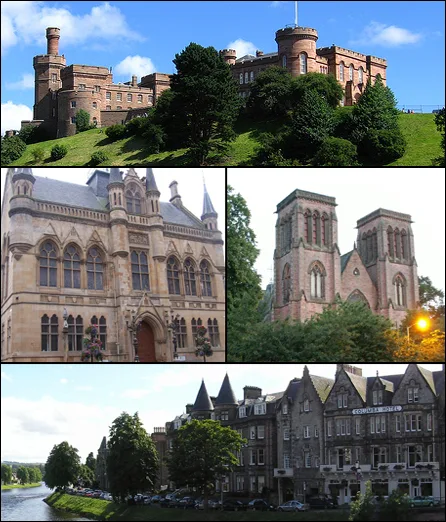
Inverness
Inverness — city in the Highlands of Scotland, United Kingdom.
 Flagship📷 3
Towns & cities · Scottish Highlands
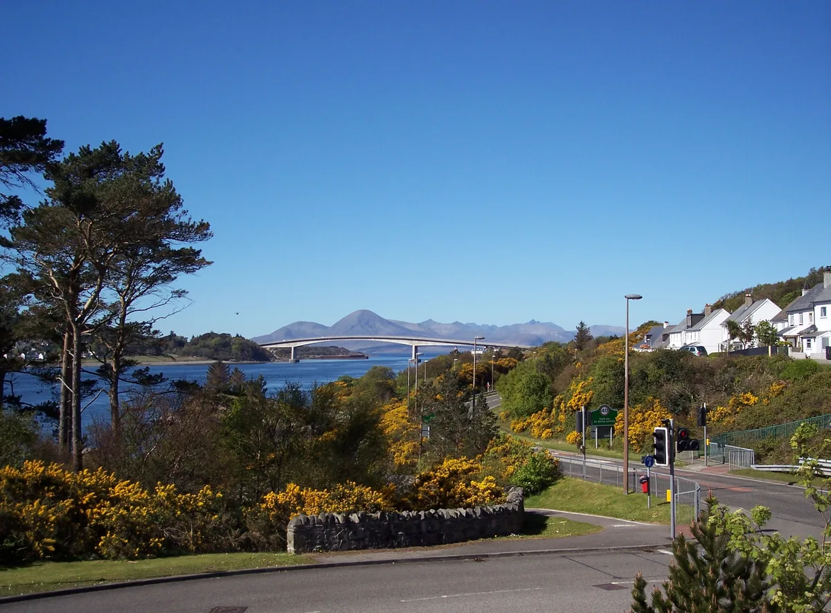
Kyle of Lochalsh
Kyle of Lochalsh — village in Highland, Scotland, UK.
 📷 4
📷 4Towns & cities · Scottish Highlands
Aberchirder
Aberchirder — village in Aberdeenshire, Scotland, UK.
Frequently asked questions
- Where is Gatehead?
- Gatehead is in the Scottish Highlands, United Kingdom (postcode KA2 0AL).
- Is Gatehead free to visit?
- Yes, Gatehead is free to enter.
- How do I get to Gatehead?
- The nearest railway station is Kilmarnock, about 3.6 km away. Drivers can navigate to postcode KA2 0AL.