Mountains & hills · Yorkshire & the Humber
Garrowby Hill
Also known as: Bishop Wilton Wold
Garrowby Hill — Named summit at 246 m.

Wikimedia Commons contributors — see linked file page for photographer and licence licence
Plan your visit
- Typical visit
- 3 h–8 h
- Best time of year
- Late spring – early autumn (May–Oct)
- Nearest railway station
- Fimber Halt · 9.8 km
- Free entry
- Dog-friendly
About
Garrowby Hill is a named summit in the United Kingdom. Also known as: Bishop Wilton Wold. Wikidata describes it as: "Named summit at 246 m.". Coordinates: 54.0023°, -0.7491°.
Photo gallery
Protected designations
- Site of Special Scientific Interest: River Derwent SSSI
Designations sourced from Natural England open data under OGL v3.
From the Wikipedia article
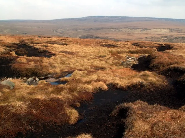
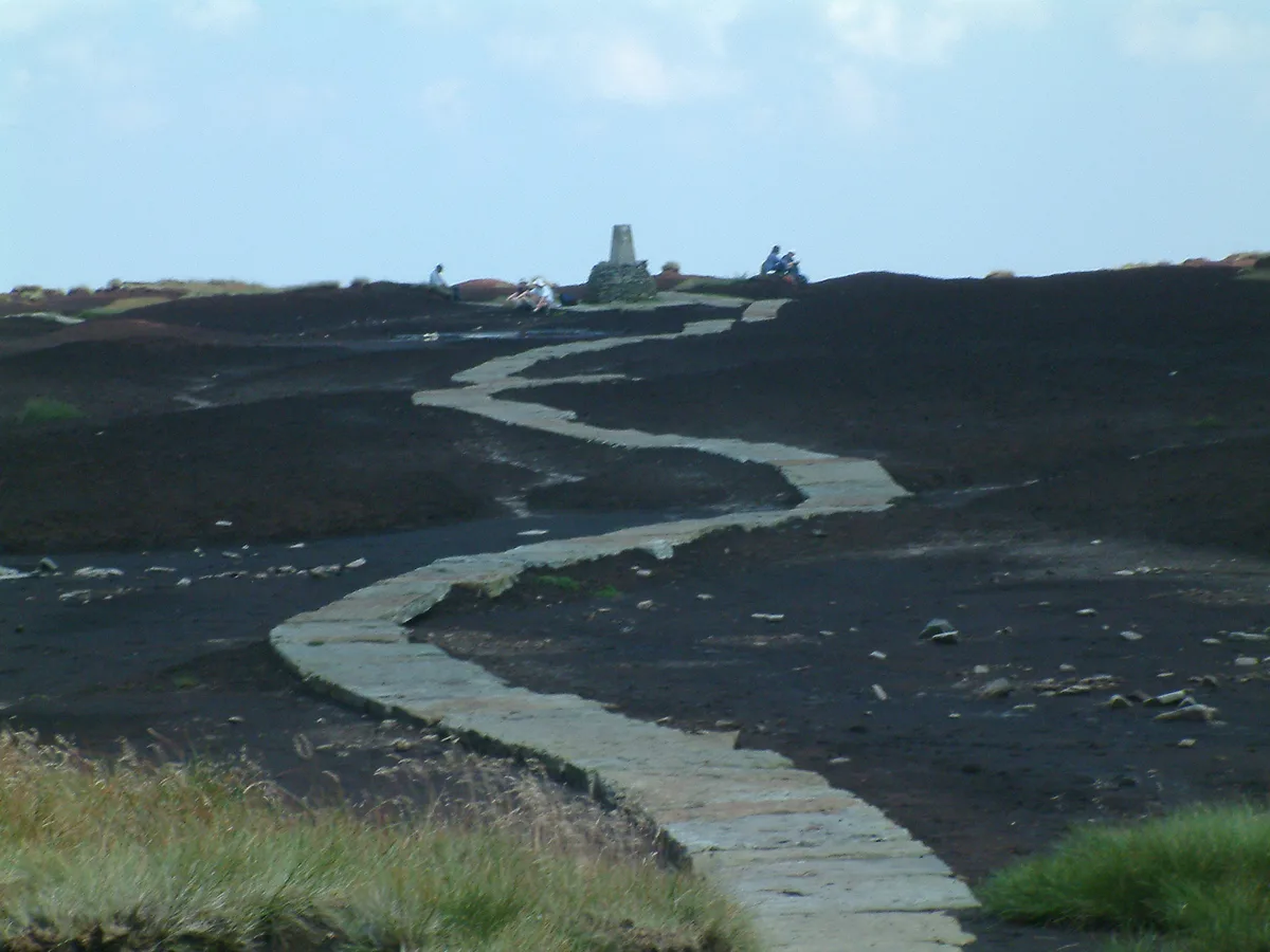
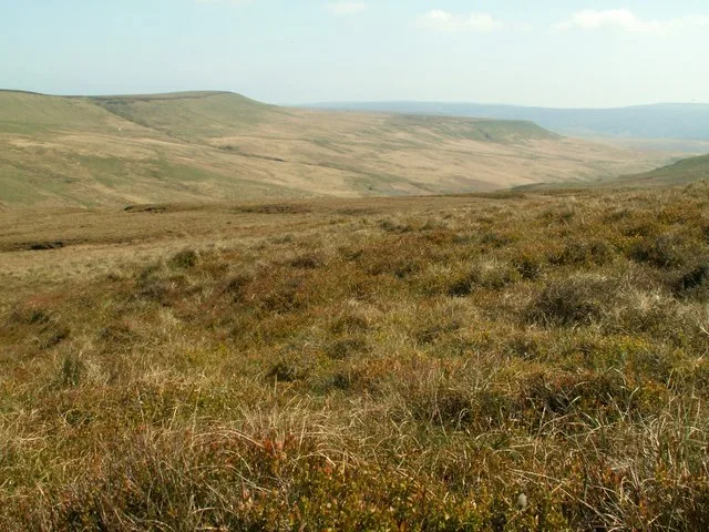
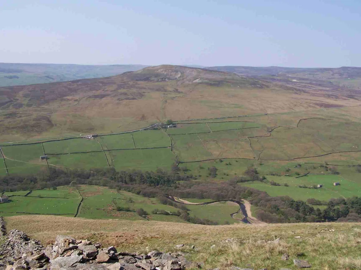
Bishop Wilton Wold is the highest point of the Yorkshire Wolds in the East Riding of Yorkshire, England. The summit, known as Garrowby Hill, lies about five miles (eight kilometres) north of Pocklington. As with most of the wolds, it is wide, flat and agricultural in nature. The A166 road passes right by the top. However, it is a Marilyn (having topographic prominence of at least 150 m or 492 ft 2 in). There is a trig point, two covered reservoirs and an aerial. Topography detailed from LIDAR info, in the database of British Hills, gives the summit as 247.9 metres (813 ft) on the tumulus north of the A166 road just to the east of the 246-metre (807 ft) OS map height given for the triangulation pillar that is within the reservoir. The prominence is 207.2m with col of 40.7m at TA 1103 7869 as detailed in the database of British Hills. The British artist David Hockney painted the view from the summit of Garrowby Hill in 1998.
Excerpt from Wikipedia under CC BY-SA 4.0. See the source article linked in Sources below.
- Coordinates
- 54.0023, -0.7491
- District
- East Riding of Yorkshire
- Parish
- Bishop Wilton
- Postcode
- YO42 1SY
- Parliamentary constituency
- Bridlington and The Wolds
- Nearest railway station
- Fimber Halt — 9.8 km
Sources
- osm: n1507527856 (ODbL)
- wikipedia: Bishop Wilton Wold (CC BY-SA 4.0)
- commons: Garrowby Hill tumulus.jpg (CC BY-SA 4.0)
Other places nearby
Loading nearby places…
Nearby
 📷 3
📷 3Palaces · Yorkshire & the Humber
Archbishop's Palace (site of)
Archbishop's Palace (site of) — a palace in england-yorkshire, United Kingdom.
 📷 3
📷 3Towns & cities · Yorkshire & the Humber
Bishop Wilton
Bishop Wilton — village in the East Riding of Yorkshire, United Kingdom.
 📷 3
📷 3Heritage railway stations · Yorkshire & the Humber
Waves and Time
Waves and Time — Public artwork (land_art) by Chris Drury.
Campsites · Yorkshire & the Humber
Givendale Scout Campsite
Givendale Scout Campsite — a campsite in england yorkshire.
 📷 3
📷 3Forests & woodlands · Yorkshire & the Humber
Beckhead Plantation SSSI
Beckhead Plantation SSSI is a forest or woodland in the United Kingdom.
 📷 3
📷 3Galleries · Yorkshire & the Humber
The Robert Fuller Gallery
The Robert Fuller Gallery — a gallery in england-yorkshire, United Kingdom.
More mountains in this region
 📷 3
📷 3Mountains & hills · Yorkshire & the Humber
Black Chew Head
Black Chew Head — Named summit at 542 m.
 📷 3
📷 3Mountains & hills · Yorkshire & the Humber
Black Hill
Black Hill — Named summit at 582 m.
 📷 3
📷 3Mountains & hills · Yorkshire & the Humber
Britland Edge Hill
Britland Edge Hill — Named summit at 523 m.
 📷 3
📷 3Mountains & hills · Yorkshire & the Humber
Calver Hill
Calver Hill — Named summit at 493 m.
Frequently asked questions
- Where is Garrowby Hill?
- Garrowby Hill is in Yorkshire, United Kingdom (postcode YO42 1SY), in the parish of Bishop Wilton.
- Is Garrowby Hill a protected site?
- Yes — Garrowby Hill is part of the River Derwent SSSI Site of Special Scientific Interest.
- Is Garrowby Hill free to visit?
- Yes, Garrowby Hill is free to enter.
- How do I get to Garrowby Hill?
- Drivers can navigate to postcode YO42 1SY. It sits within the Bridlington and The Wolds parliamentary constituency.