Archaeological sites · South West England
Garratts Wood
Garratts Wood is a archaeological site in the United Kingdom.

Michael Garlick — CC BY-SA 2.0 via Wikimedia Commons licence
Plan your visit
- Typical visit
- 45 min–1.5 h
- Free entry
- Dog-friendly
About
Garratts Wood is an archaeological site in the United Kingdom. Coordinates: 51.1050°, -3.5680°. This entry is part of The Great Britain Guide, a free, ad-free, open-data tourist directory.
Photo gallery
Protected designations
- Site of Special Scientific Interest: North Exmoor SSSI
- Site of Special Scientific Interest: River Barle SSSI
- Site of Special Scientific Interest: South Exmoor SSSI
Designations sourced from Natural England open data under OGL v3.
From the Wikipedia article
Garratts Wood is a woodland in Somerset, England, near the village of Winsford. It covers a total area of 1.11 hectares (2.74 acres). It is owned and managed by the Woodland Trust.
Excerpt from Wikipedia under CC BY-SA 4.0. See the source article linked in Sources below.
- Coordinates
- 51.1050, -3.5680
- District
- Somerset
- Parish
- Winsford
- Postcode
- TA24 7JH
- Parliamentary constituency
- Tiverton and Minehead
Sources
- wikidata: Q5523808 (CC0)
- wikipedia: Garratts Wood (CC BY-SA 4.0)
Other places nearby
Loading nearby places…
Nearby
 📷 5
📷 5Historic churches · South West England
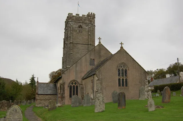
Church of St Mary Magdalene, Winsford
Church of St Mary Magdalene, Winsford — church in West Somerset, England, UK.
 📷 3
📷 3Historic bridges · South West England
Vicarage Bridge At Ngr Ss 9061 3516
Vicarage Bridge At Ngr Ss 9061 3516 — Grade II listed building-listed bridge in england-south-west, United Kingdom.
 📷 3
📷 3Historic bridges · South West England
Bridge Over Winn Brook
Bridge Over Winn Brook — Grade II listed building-listed bridge in england-south-west, United Kingdom.
 📷 3
📷 3Towns & cities · South West England
Winsford
Winsford — village and civil parish in Somerset, England.
Campsites · South West England
Halse Farm
Halse Farm — a campsite in england south west.
 📷 3
📷 3Historic bridges · South West England
Edbrooke Bridge At Ngr Ss 9117 3419
Edbrooke Bridge At Ngr Ss 9117 3419 — Grade II listed building-listed bridge in england-south-west, United Kingdom.
More archaeological sites in this region
 📷 3
📷 3Archaeological sites · South West England
A partly enclosed stone hut circle settlement on Kennon Hill
A partly enclosed stone hut circle settlement on Kennon Hill — archaeological site in Throwleigh, West Devon, England, UK.
.jpg?width=1200) 📷 5
📷 5Archaeological sites · South West England
A prehistoric and historic archaeological landscape within Merrivale Newtake
A prehistoric and historic archaeological landscape within Merrivale Newtake — archaeological site in Dartmoor Forest, West Devon, England, UK.
.jpg?width=1200) 📷 5
📷 5Archaeological sites · South West England
A prehistoric settlement with cairns and a historic tin mill, streamwork and buildings lying adjacent to the Langcombe Brook
A prehistoric settlement with cairns and a historic tin mill, streamwork and buildings lying adjacent to the Langcombe Brook — archaeological site in Shaugh Prior, South Hams, England, UK.
 📷 5
📷 5Archaeological sites · South West England
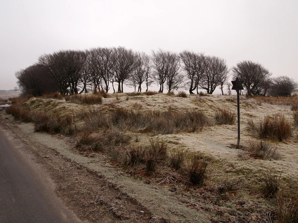
Alderman's Barrow at N of Almsworthy Common
Alderman's Barrow at N of Almsworthy Common — burial mound on Exmoor.
Frequently asked questions
- Where is Garratts Wood?
- Garratts Wood is in South-West England, United Kingdom (postcode TA24 7JH), in the parish of Winsford.
- Who owns Garratts Wood?
- Garratts Wood is owned by | website =.
- Is Garratts Wood a protected site?
- Yes — Garratts Wood is part of the North Exmoor SSSI Site of Special Scientific Interest and the River Barle SSSI Site of Special Scientific Interest.
- How do I get to Garratts Wood?
- Drivers can navigate to postcode TA24 7JH. It sits within the Tiverton and Minehead parliamentary constituency.