Towns & cities · South East England
Frittenden
Frittenden — a village located in Tunbridge Wells, United Kingdom.
Apr2006.jpg?width=1200)
Wikimedia Commons licence
Plan your visit
- Typical visit
- 3 h–6 h
- Nearest railway station
- Headcorn · 3.6 km
- Free entry
- Family-friendly
- Dog-friendly
About
Frittenden is a town, city, village or settlement in the United Kingdom. Recent population estimates put it at around 867 people. Wikidata describes it as: "a village located in Tunbridge Wells, United Kingdom". Coordinates: 51.1414°, 0.5935°.
Photo gallery
Protected designations
- Area of Outstanding Natural Beauty: High Weald
- Area of Outstanding Natural Beauty: Kent Downs
Designations sourced from Natural England open data under OGL v3.
From the Wikipedia article
Frittenden is a village and civil parish in the Tunbridge Wells District of Kent, England. The parish is located on the flood plain of one of the tributaries of the River Medway, 15 miles (24 km) to the east of Tunbridge Wells: the village is three miles (4.8 km) south of Headcorn. It is in a very rural part of Kent. The parish church is dedicated to St Mary.
Excerpt from Wikipedia under CC BY-SA 4.0. See the source article linked in Sources below.
Background
History
Roman remains have been found near an old Jutish track which ran through the area, along which pigs were driven into the forest of Andreadsweald. The village itself is named in a charter of 804, and the Anglo Saxon Chronicle of 839 relate that King Ethelwulf of Wessex gave the village land to St Augustines in Canterbury. Thomas Cromwell was given land in the village during the reign of King Henry VIII. Frittenden Church underwent extensive renovation in 1848 following a fire in the Church in 1790 when lightning struck the Church steeple. Rumours of the Frittenden Treacle Mines were started by locals in the 1930s at the expense of gullible Londoners who would tour the area in their newly…
Sourced from Wikipedia under CC BY-SA 4.0.
- Coordinates
- 51.1414, 0.5935
- County
- Kent
- District
- Tunbridge Wells
- Parish
- Frittenden
- Postcode
- TN17 2DP
- Parliamentary constituency
- Weald of Kent
- Population
- 867
- Nearest railway station
- Headcorn — 3.6 km
Sources
- wikidata: Q769892 (CC0)
- wikipedia: Frittenden (CC BY-SA 4.0)
Other places nearby
Loading nearby places…
Nearby
 📷 5
📷 5Memorials & monuments · South East England
Monument To Reverend Edward Moore, About 25 Metres South Of Church Of St Mary
Monument To Reverend Edward Moore, About 25 Metres South Of Church Of St Mary — Grade II listed building-listed memorial in england-south-east, United Kingdom.
 📷 5
📷 5Watermills · South East England
Maplehurst Mill
Maplehurst Mill — Grade II listed building-listed watermill in england-south-east, United Kingdom.
Campsites · South East England
Plush Huts
Plush Huts — a campsite in england south east.
Caravan parks · South East England
Waterside Oast
Waterside Oast — a caravan park in england south east.
 ★ Iconic📷 10
Gardens · South East England
Sissinghurst Castle Garden
Vita Sackville-West's 1930s garden in Kent — the most-imitated White Garden in Britain.
 📷 5
📷 5Castles · South East England
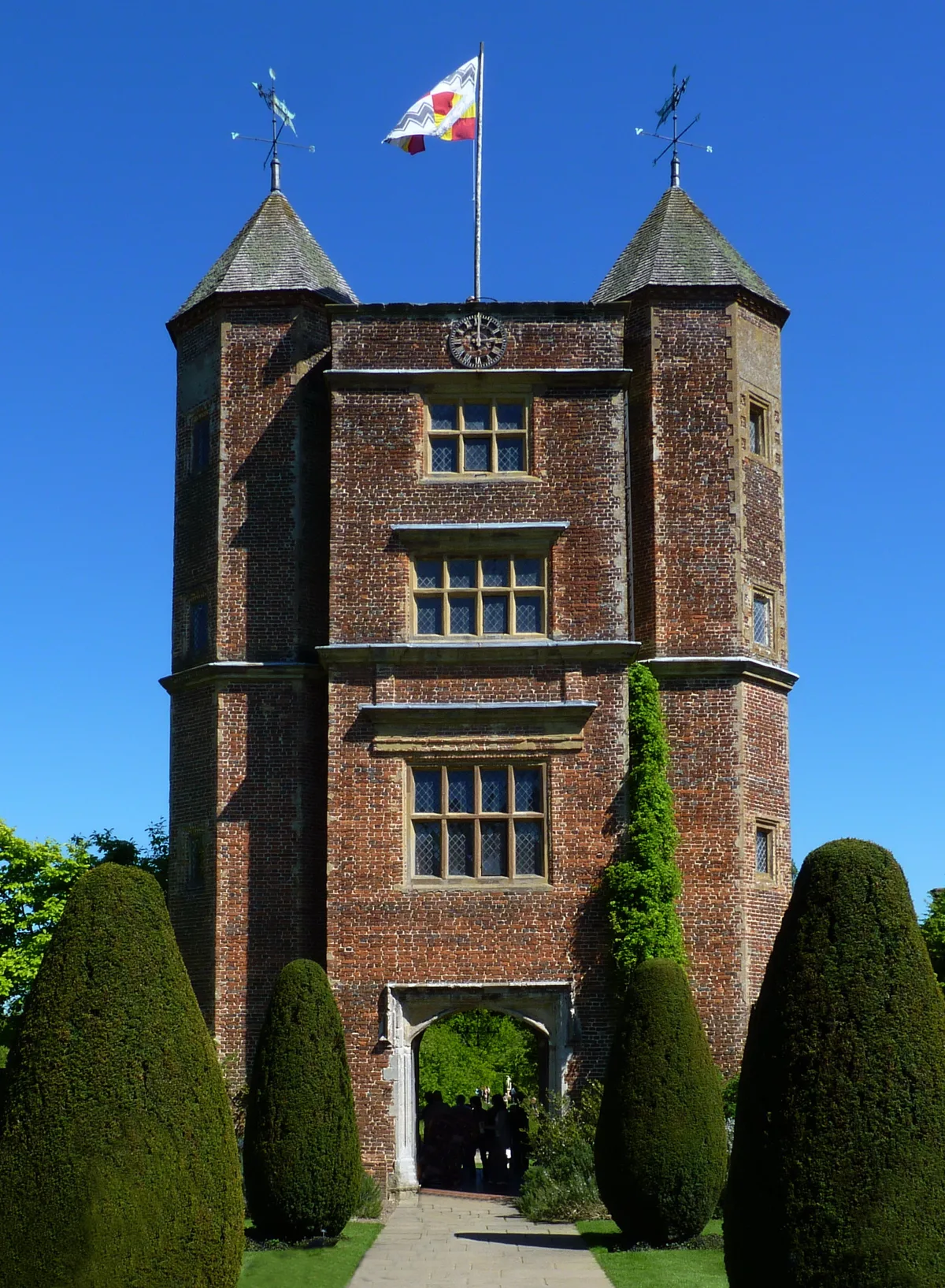
Sissinghurst Castle and Garden
Sissinghurst Castle and Garden — a castle in england-south-east, United Kingdom.
More towns in this region
 Flagship📷 10
Towns & cities · South East England
Aldermaston
Aldermaston — village and civil parish in West Berkshire in England, UK.
 Flagship📷 10
Towns & cities · South East England
Aldingbourne
Aldingbourne — village and civil parish in Arun, West Sussex, UK.
 Flagship📷 10
Towns & cities · South East England
Aldington
Aldington — village and civil parish in the Ashford District of Kent, England.
 Flagship📷 10
Towns & cities · South East England
Aldworth
Aldworth — village and civil parish in the English county of Berkshire.
Frequently asked questions
- Where is Frittenden?
- Frittenden is in Kent, South-East England, United Kingdom (postcode TN17 2DP), in the parish of Frittenden.
- Is Frittenden a protected site?
- Yes — Frittenden is part of the High Weald National Landscape (AONB) and the Kent Downs National Landscape (AONB).
- Is Frittenden free to visit?
- Yes, Frittenden is free to enter.
- How do I get to Frittenden?
- The nearest railway station is Headcorn, about 3.6 km away. Drivers can navigate to postcode TN17 2DP.