Archaeological sites · London
Forest of Essex
Forest of Essex is a archaeological site in the United Kingdom.
_p48_-_Forest_of_Essex._Disafforestations_and_Boundaries_in_1301.jpg?width=1200)
Wikimedia Commons licence
Plan your visit
- Typical visit
- 45 min–1.5 h
- Nearest railway station
- Ingatestone · 3.8 km
- Free entry
- Dog-friendly
About
Forest of Essex is an archaeological site in the United Kingdom. Coordinates: 51.7000°, 0.4000°. This entry is part of The Great Britain Guide, a free, ad-free, open-data tourist directory.
Photo gallery
From the Wikipedia article
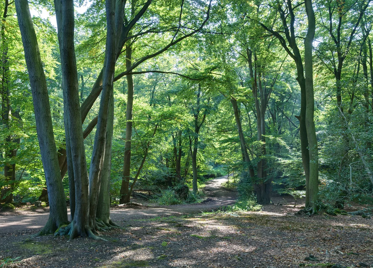
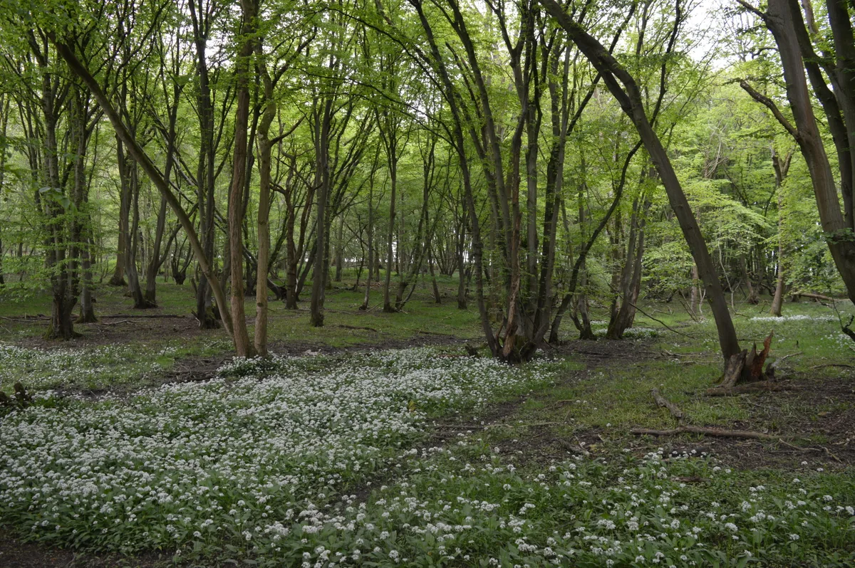
The Forest of Essex was a royal forest that existed from around 1100 and was disestablished in the 13th century. Forests were legal institutions introduced by the Normans to denote an area where the King or another magnate had the right to keep and hunt deer and make Forest Law. Initially there was a very weak correlation between the extent of the legal forest and what might be termed the 'physical forest', the often wooded common land areas where the deer lived. In later centuries there was a much stronger correlation, so much so that the word forest is now taken to mean the same as woodland. The Forest of Essex covered nearly all of Essex most of which was unwooded. The naturalist Oliver Rackham carried out an analysis of Domesday returns for Essex and was able to estimate the county was 20% wooded in 1086. The area covered by Forest Law excluded the least wooded areas of the county along the Thames and North Sea coasts so the percentage for the Forest of Essex was a little higher. Over time parts of the country were disafforested, removed from Forest Law. In 1204 the men of Essex paid the King 500 marks and five palfreys for the 'forest of Essex which is beyond the Causeway between Colchester and Bishop's Stortford to be disafforested. In 1327 Edward III confirmed the Charter of the Forest (originally granted by Edward I in 1304) removing most of the rest of the rest of the County from Forest Law, ending the Forest of Essex. Forest Law now applied only to royal manors and the heavily wooded areas in the south-west Essex. This disestablishment of the Forest of Essex led to the creation of four new smaller Forests which concentrated on areas with a greater proportion of woodland cover, namely: Waltham Forest (which included the physical forest areas subsequently known as Epping Forest, Wintry Forest (north of Epping) and Hainault Forest), Hatfield Forest, Writtle Forest and the long lost Kingswood Forest near Colchester. Hatfield and Writtle were royal manors…
Excerpt from Wikipedia under CC BY-SA 4.0. See the source article linked in Sources below.
- Coordinates
- 51.7000, 0.4000
- County
- Essex
- District
- Chelmsford
- Parish
- Margaretting
- Postcode
- CM4 0HB
- Parliamentary constituency
- Maldon
- Nearest railway station
- Ingatestone — 3.8 km
Sources
- wikidata: Q24993408 (CC0)
- wikipedia: Forest of Essex (CC BY-SA 4.0)
Other places nearby
Loading nearby places…
Nearby
 📷 5
📷 5Public art & sculpture · London
Margaretting Village Sign
Margaretting Village Sign — a public art in england-london, United Kingdom.
📷 5Memorials & monuments · London
Margaretting Memorial Wheel Cross
Margaretting Memorial Wheel Cross — Grade II listed building-listed memorial in england-london, United Kingdom.
 📷 5
📷 5Towns & cities · London
Margaretting
Margaretting — suburban village in Chelmsford, Essex, England.
 📷 5
📷 5Historic houses · London
Hylands House
Hylands House — a other in england-london, United Kingdom.
 📷 5
📷 5Windmills · London
Fryerning Mill
Fryerning Mill — Grade II* listed building-listed windmill in england-london, United Kingdom.
 📷 5
📷 5Towns & cities · London
Ingatestone
Ingatestone — village in Essex, England, UK.
More archaeological sites in this region
 Flagship📷 10
Archaeological sites · London
Epping Forest
Epping Forest — royal forest in England.
 Flagship📷 10
Archaeological sites · London
Grangewood Park
Grangewood Park — park in the United Kingdom.
 Flagship📷 10
Archaeological sites · London
Nunn Wood
Nunn Wood — woods in Essex, England, a Site of Special Scientific Interest.
 📷 5
📷 5Archaeological sites · London
A Bronze Age post alignment and timber platform at Flag Fen and associated Bronze Age and later field systems and settlement to
A Bronze Age post alignment and timber platform at Flag Fen and associated Bronze Age and later field systems and settlement to — archaeological site in Thorney, City of Peterborough, England, UK.
Frequently asked questions
- Where is Forest of Essex?
- Forest of Essex is in London, in the United Kingdom — coordinates 51.7000°, 0.4000°. The nearest railway station is Ingatestone, around 3.8 km away.
- Is Forest of Essex free to visit?
- Yes — admission to Forest of Essex is free.