Archaeological sites · London
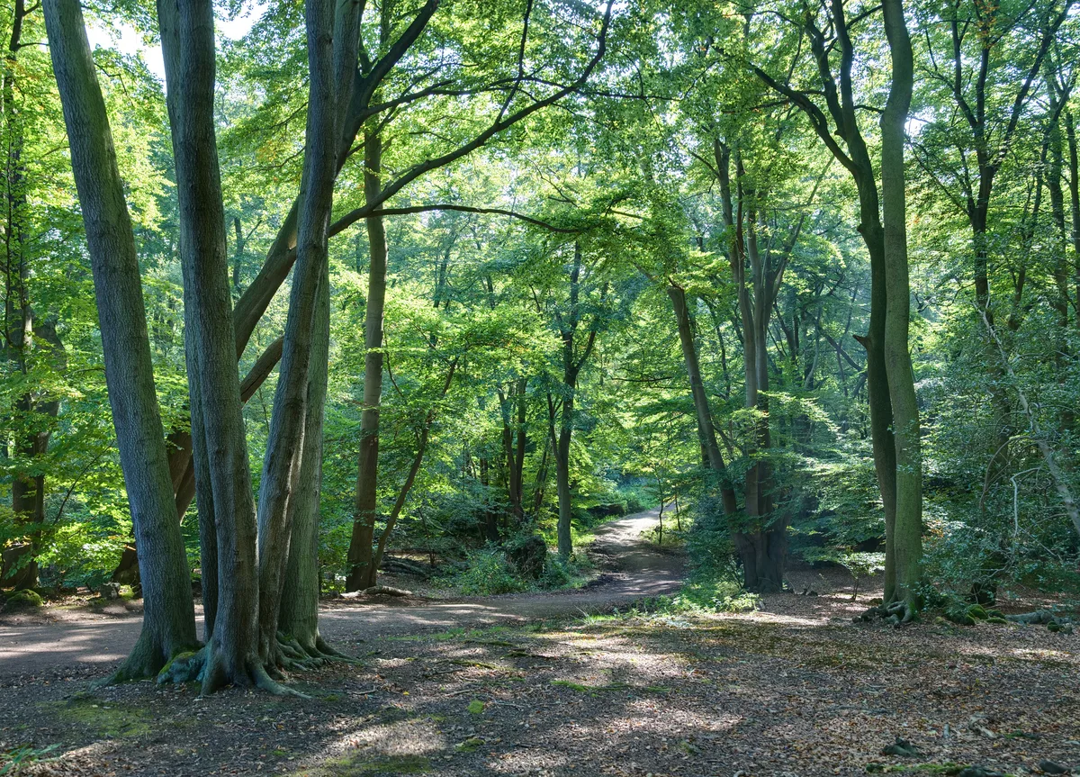
Ford Wood
Ford Wood — woodland in Cambridgeshire, England.

N Chadwick — CC BY-SA 2.0 via Wikimedia Commons licence
Plan your visit
- Typical visit
- 45 min–1.5 h
- Nearest railway station
- Royston · 2.9 km
- Free entry
- Dog-friendly
About
Ford Wood is an archaeological site in the United Kingdom. Wikidata describes it as: "woodland in Cambridgeshire, England". Coordinates: 52.0730°, -0.0540°.
Photo gallery
From the Wikipedia article
Ford Wood is a woodland in Cambridgeshire, England, near Bassingbourn. It covers a total area of 2.34 hectares (5.78 acres). It is owned and managed by the Woodland Trust.
Excerpt from Wikipedia under CC BY-SA 4.0. See the source article linked in Sources below.
- Coordinates
- 52.0730, -0.0540
- County
- Cambridgeshire
- District
- South Cambridgeshire
- Parish
- Bassingbourn cum Kneesworth
- Postcode
- SG8 5HT
- Parliamentary constituency
- South Cambridgeshire
- Nearest railway station
- Royston — 2.9 km
Sources
Other places nearby
Loading nearby places…
Nearby
 📷 5
📷 5Public art & sculpture · London
Bassingbourn Village Sign
Bassingbourn Village Sign — a public art in england-london, United Kingdom.
📷 5Cemeteries · London
Bassingbourn Cemetery
Bassingbourn Cemetery is a cemetery in the United Kingdom.
Vineyards · London
Bassingbourn
Bassingbourn — a UK vineyard in england london, producing English or Welsh wine from cool-climate grape varieties.
 📷 5
📷 5Natural landmarks · London
Bassingbourn Dry Ski Slope
Bassingbourn Dry Ski Slope — a other in england-london, United Kingdom.
 📷 5
📷 5Archaeological sites · London
John o'Gaunt's House
John o'Gaunt's House — a archaeological in england-london, United Kingdom.
Vineyards · London
Limlow Hill
Limlow Hill — a UK vineyard in england london, producing English or Welsh wine from cool-climate grape varieties.
More archaeological sites in this region
 Flagship📷 10
Archaeological sites · London
Epping Forest
Epping Forest — royal forest in England.
 Flagship📷 10
Archaeological sites · London
Grangewood Park
Grangewood Park — park in the United Kingdom.
 Flagship📷 10
Archaeological sites · London
Nunn Wood
Nunn Wood — woods in Essex, England, a Site of Special Scientific Interest.
 📷 5
📷 5Archaeological sites · London
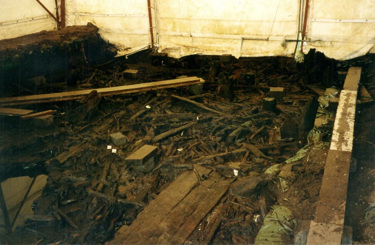
A Bronze Age post alignment and timber platform at Flag Fen and associated Bronze Age and later field systems and settlement to
A Bronze Age post alignment and timber platform at Flag Fen and associated Bronze Age and later field systems and settlement to — archaeological site in Thorney, City of Peterborough, England, UK.
Frequently asked questions
- Where is Ford Wood?
- Ford Wood is in Cambridgeshire, London, United Kingdom (postcode SG8 5HT), in the parish of Bassingbourn cum Kneesworth.
- Who owns Ford Wood?
- Ford Wood is owned by Woodland Trust.
- How do I get to Ford Wood?
- The nearest railway station is Royston, about 2.9 km away. Drivers can navigate to postcode SG8 5HT.