Islands · South Wales
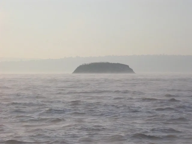
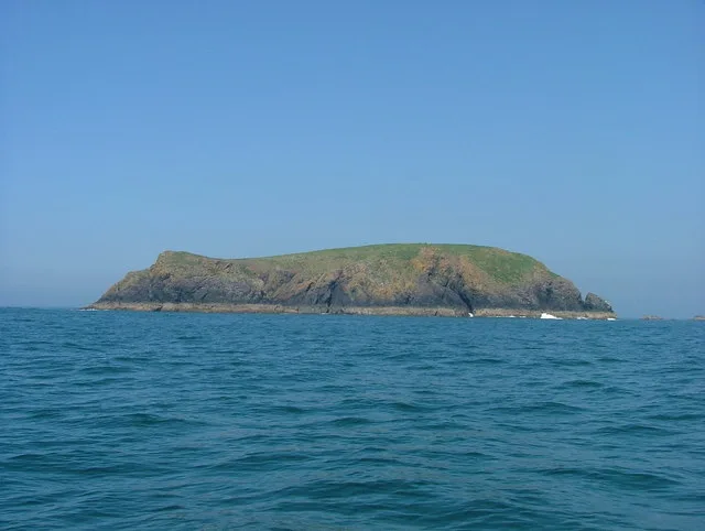
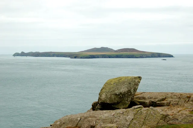
Flat Holm
Flat Holm — island off the coast of Wales.

Wikimedia Commons contributors — see linked file page for photographer and licence licence
Plan your visit
- Typical visit
- 4 h–12 h
- Nearest railway station
- Penarth · 7.5 km
- Free entry
- Dog-friendly
About
Flat Holm is a island in the United Kingdom. Records date its origin to 1737. Heritage designation: Site of Special Scientific Interest. Wikidata describes it as: "island off the coast of Wales". Coordinates: 51.3775°, -3.1215°.
Photo gallery
Protected designations
- Ramsar wetland: Severn Estuary
Designations sourced from Natural England open data under OGL v3.
From the Wikipedia article
Flat Holm (Welsh: Ynys Echni) is a Welsh island lying in the Bristol Channel approximately 6 km (4 mi) from Lavernock Point in the Vale of Glamorgan. It includes the most southerly point of Wales. The island has a long history of occupation, dating at least from the Bronze Age. Religious uses include visits by disciples of Saint Cadoc in the 5th–6th century AD, and in 1835 it was the site of the foundation of the Bristol Channel Mission, which later became the Mission to Seafarers. A sanatorium for cholera patients was built in 1896 as the isolation hospital for the port of Cardiff. Guglielmo Marconi transmitted the first wireless signals over open sea from Flat Holm to Lavernock. Because of frequent shipwrecks, a lighthouse was built on the island, which was replaced by a Trinity House lighthouse in 1737. Because of its strategic position on the approaches to Bristol and Cardiff a series of gun emplacements, known as Flat Holm Battery, were built in the 1860s as part of a line of defences, known as Palmerston Forts. On the outbreak of World War II, the island was rearmed. It forms part of the City and County of Cardiff and is now managed by Cardiff Council's Flat Holm Project Team and designated as a Local Nature Reserve, Site of Special Scientific Interest and a Special Protection Area, because of the maritime grassland and rare plants such as rock sea-lavender (Limonium binervosum) and wild leek (Allium ampeloprasum). The island also has significant breeding colonies of lesser black-backed gulls (Larus fuscus), herring gulls (Larus argentatus) and great black-backed gulls (Larus marinus). It is also home to slow worms (Anguis fragilis) with larger than usual blue markings.
Excerpt from Wikipedia under CC BY-SA 4.0. See the source article linked in Sources below.
Background
Description
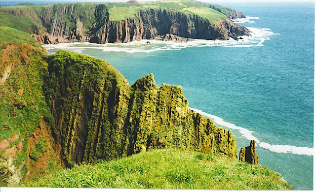
Flat Holm, in the Bristol Channel, is a small, almost circular, limestone island, approximately 620 m in diameter, covering 35 ha. It rises in a gentle slope from the exposed western rocky shore to more sheltered easterly cliffs, at the top of which stands the prominent lighthouse. At its highest point it is 32 m above sea level. About 1.3 km northwest of Flat Holm are three rocky islets collectively known as The Wolves, measuring approximately 25 m by 20 m.
Sourced from Wikipedia under CC BY-SA 4.0.
- Coordinates
- 51.3775, -3.1215
- Address
- Bristol Channel
- Established
- 1737
- Nearest railway station
- Penarth — 7.5 km
- Official site
- www.flatholmisland.com
Sources
- wikidata: Q2429731 (CC0)
- wikipedia: Flat Holm (CC BY-SA 4.0)
- commons: Flat Holm Aerial.jpg (CC BY-SA 4.0)
Other places nearby
Loading nearby places…
Nearby
 📷 3
📷 3Historic houses · South Wales
Radar Platform
Radar Platform — a historic house in wales-south, United Kingdom.
 📷 3
📷 3Historic houses · South Wales
Well Battery
Well Battery — a historic house in wales-south, United Kingdom.
 📷 3
📷 3Historic houses · South Wales
Farmhouse Battery
Farmhouse Battery — a historic house in wales-south, United Kingdom.
 📷 3
📷 3Castles · South Wales
Castle Rock Battery
Castle Rock Battery — a castle in wales-south, United Kingdom.
 📷 3
📷 3Lighthouses · South Wales
Lighthouse Battery
Lighthouse Battery — a lighthouse in wales-south, United Kingdom.
 📷 3
📷 3Historic houses · South Wales
Victorian Water Catchment
Victorian Water Catchment — a historic house in wales-south, United Kingdom.
More places in this region
 Flagship📷 5
Islands · South Wales
Caldey Island
Caldey Island — small island in Pembrokeshire, Wales, UK.
 Flagship📷 5
Islands · South Wales
Denny Island
Denny Island — island in the Severn Estuary in Monmouthshire, Wales, United Kingdom.
 Flagship📷 3
Islands · South Wales
Midland Isle
Midland Isle — island in Pembrokeshire, Wales.
 📷 5
📷 5Islands · South Wales
Ramsey Island
Ramsey Island — island in Pembrokeshire, Wales, UK.
Frequently asked questions
- Where is Flat Holm?
- Flat Holm is in South Wales, United Kingdom.
- When was Flat Holm built?
- Built or established in 1737.
- Is Flat Holm a listed building?
- Flat Holm is officially recognised as Site of Special Scientific Interest listed.
- Is Flat Holm a protected site?
- Yes — Flat Holm is part of the Severn Estuary Ramsar wetland.
- Is Flat Holm free to visit?
- Yes, Flat Holm is free to enter.
- How do I get to Flat Holm?
- The nearest railway station is Penarth, about 7.5 km away.