Archaeological sites · South Wales
Fforest Fach
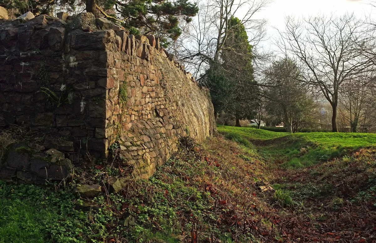
Fforest Fach — Unenclosed area of Powys, Wales.

Wikimedia Commons licence
Plan your visit
- Typical visit
- 45 min–1.5 h
- Free entry
- Dog-friendly
About
Fforest Fach is an archaeological site in the United Kingdom. Wikidata describes it as: "Unenclosed area of Powys, Wales". Coordinates: 51.9289°, -3.5975°.
Photo gallery
From the Wikipedia article
Fforest Fach is a small area of unenclosed land within Brecon Beacons National Park southwest of Sennybridge in the county of Powys, Wales. Translating from Welsh as 'little forest', it is named in opposition to the much larger area of unenclosed land to the south which is known as Fforest Fawr or the 'great forest'. Whilst Fforest Fawr and Fforest Fach have been distinct areas for many centuries, the odd situation now arises where Fforest Fach now finds itself within Fforest Fawr Geopark, the boundaries of which are drawn rather more widely than those of the traditional royal hunting forest.The hill possesses two indistinct summits, the higher of which at 382m is in the south whilst that to the north at 381m is crowned by a trig point. There was formerly a rifle range at the north-western corner of the hill.
Excerpt from Wikipedia under CC BY-SA 4.0. See the source article linked in Sources below.
Background
Visiting
The summit plateau of the hill is open country across which walkers may wander at will. Access is also provided by a couple of bridleways, one of which cuts east–west across the hill between Cwm Treweryn and Cwm Crai.
Sourced from Wikipedia under CC BY-SA 4.0.
- Coordinates
- 51.9289, -3.5975
- District
- Powys
- Parish
- Cray
- Postcode
- LD3 8PY
- Parliamentary constituency
- Brecon, Radnor and Cwm Tawe
Sources
- wikidata: Q5446225 (CC0)
- wikipedia: Fforest Fach (CC BY-SA 4.0)
Other places nearby
Loading nearby places…
Nearby
 📷 5
📷 5Historic bridges · South Wales
Pont Nantyrharn
Pont Nantyrharn — Grade II listed building-listed bridge in wales-south, United Kingdom.
Vineyards · South Wales
Twyn-y-Gaer
Twyn-y-Gaer — a UK vineyard in wales south, producing English or Welsh wine from cool-climate grape varieties.
 📷 3
📷 3Castles · South Wales
Castell Du
Castell Du — destroyed castle in Brecknockshire, Wales.
 📷 5
📷 5Historic bridges · South Wales
Pont Pantysgallog
Pont Pantysgallog — Grade II listed building-listed bridge in wales-south, United Kingdom.
 📷 5
📷 5Other places · South Wales
Crai, Powys
Crai, Powys — a other in wales-south, United Kingdom.
 📷 5
📷 5Historic churches · South Wales
St Cynog's Church
St Cynog's Church — Grade I listed building-listed church in wales-south, United Kingdom.
More archaeological sites in this region
 📷 3
📷 3Archaeological sites · South Wales
Brechfa Forest
Brechfa Forest — forest in Carmarthenshire, Wales, UK.
 📷 3
📷 3Archaeological sites · South Wales
Civil War earthworks on Brandon Hill
Civil War earthworks on Brandon Hill — archaeological site in City of Bristol, South West England, England, UK.
 📷 3
📷 3Archaeological sites · South Wales
Coygan Cave
Coygan Cave — cave and archaeological site in the United Kingdom.
 📷 3
📷 3Archaeological sites · South Wales
Glasfynydd Forest
Glasfynydd Forest — forest on the boundary of Carmarthenshire and Powys, Wales, UK.
Frequently asked questions
- Where is Fforest Fach?
- Fforest Fach is in South Wales, in the United Kingdom — coordinates 51.9289°, -3.5975°.
- Is Fforest Fach free to visit?
- Yes — admission to Fforest Fach is free.