Archaeological sites · East Midlands
Felicity's Wood
Felicity's Wood is a archaeological site in the United Kingdom.

Tim Heaton — CC BY-SA 2.0 via Wikimedia Commons licence
Plan your visit
- Typical visit
- 45 min–1.5 h
- Nearest railway station
- Quorn & Woodhouse · 4.5 km
- Free entry
- Dog-friendly
About
Felicity's Wood is an archaeological site in the United Kingdom. Coordinates: 52.7350°, -1.2540°. This entry is part of The Great Britain Guide, a free, ad-free, open-data tourist directory.
Photo gallery
From the Wikipedia article
Felicity's Wood is a woodland in Leicestershire, England, near the village of Woodhouse Eaves. It covers a total area of 8.77 hectares (21.67 acres). It is owned and managed by the Woodland Trust.
Excerpt from Wikipedia under CC BY-SA 4.0. See the source article linked in Sources below.
- Coordinates
- 52.7350, -1.2540
- County
- Leicestershire
- District
- Charnwood
- Parish
- Woodhouse
- Postcode
- LE12 8TE
- Parliamentary constituency
- Mid Leicestershire
- Nearest railway station
- Quorn & Woodhouse — 4.5 km
Sources
- wikidata: Q5441773 (CC0)
- wikipedia: Felicity's Wood (CC BY-SA 4.0)
Other places nearby
Loading nearby places…
Nearby
Mountains & hills · East Midlands
Beacon Hill
Beacon Hill — Named summit at 244.5 m.
Vineyards · East Midlands
Beacon Hill hillfort, enclosure and linear boundary
Beacon Hill hillfort, enclosure and linear boundary — a UK vineyard in england east midlands, producing English or Welsh wine from cool-climate grape varieties.
 📷 5
📷 5Parks · East Midlands
Outwoods
Outwoods — park in Leicestershire, England.
 📷 3
📷 3Reservoirs & lochs · East Midlands
Nanpantan Reservoir
Nanpantan Reservoir — reservoir in Leicestershire, England, UK.
 📷 3
📷 3Public art & sculpture · East Midlands
Double Movement
Double Movement — a public art in england-east-midlands, United Kingdom.
 📷 3
📷 3Towns & cities · East Midlands
Woodhouse Eaves
Woodhouse Eaves — village in Leicestershire, England, UK.
More archaeological sites in this region
 Flagship📷 5
Archaeological sites · East Midlands
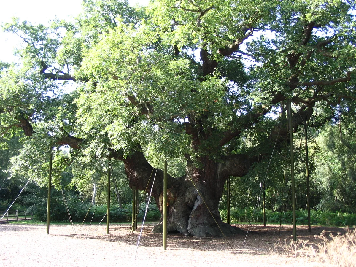
Sherwood Forest
Sherwood Forest is a archaeological site in the United Kingdom.
 Flagship📷 5
Archaeological sites · East Midlands
The National Forest
The National Forest — environmental project in central England.
 📷 3
📷 3Archaeological sites · East Midlands
Appleton medieval and early post-medieval settlement
Appleton medieval and early post-medieval settlement — archaeological site in Flitcham with Appleton, King's Lynn and West Norfolk, England, UK.
 📷 3
📷 3Archaeological sites · East Midlands
Brauncewell medieval village
Brauncewell medieval village — archaeological site in Cranwell, Brauncewell and Byard's Leap, North Kesteven, England, UK.
Frequently asked questions
- Where is Felicity's Wood?
- Felicity's Wood is in Leicestershire, the East Midlands, United Kingdom (postcode LE12 8TE), in the parish of Woodhouse.
- Who owns Felicity's Wood?
- Felicity's Wood is owned by Woodland Trust.
- How do I get to Felicity's Wood?
- The nearest railway station is Quorn & Woodhouse, about 4.5 km away. Drivers can navigate to postcode LE12 8TE.