Towns & cities · South East England
Ellisfield
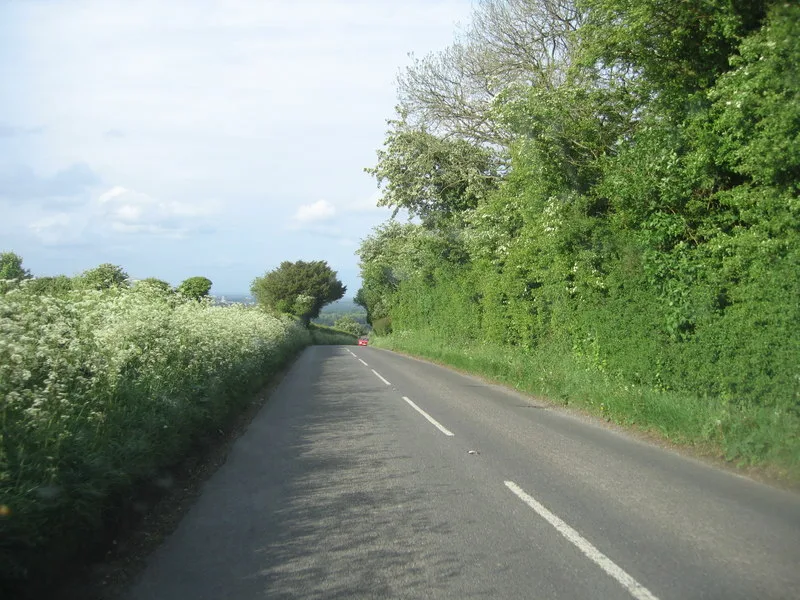
Ellisfield — village and civil parish in Hampshire, England, UK.

Wikimedia Commons contributors — see linked file page for photographer and licence licence
Plan your visit
- Typical visit
- 3 h–6 h
- Nearest railway station
- Basingstoke · 6.2 km
- Free entry
- Family-friendly
- Dog-friendly
About
Ellisfield is a town, city, village or settlement in the United Kingdom. Recent population estimates put it at around 270 people. Wikidata describes it as: "village and civil parish in Hampshire, England, UK". Coordinates: 51.2126°, -1.0903°.
Photo gallery
From the Wikipedia article
Ellisfield is a village in the Basingstoke and Deane district of Hampshire, England. It lies approximately 4 miles (6.4 km) south of Basingstoke on the other side of the M3 motorway from the town. As a parish it is grouped together with Cliddesden, Dummer and Farleigh Wallop.
Excerpt from Wikipedia under CC BY-SA 4.0. See the source article linked in Sources below.
Background
History
The name Ellisfield derives from the Old English word ielfsanfeld, meaning open land of Iellfsa. At the time of the Domesday Survey (1086) Ellisfield was part of the estate of the Bishop of Bayeux. It was held by Hugh de Port and later the St Johns. The manor was held by a favourite of Henry VIII, Sir William Sandys, in 1496. He later became Lord Chancellor and was created Baron Sandys. In 1657, the fifth Lord Sandys served with Charles I at the Battle of Cheriton. The property was sold and divided, to be reformed in 1789 by John Wallop, Earl of Portsmouth.
Sourced from Wikipedia under CC BY-SA 4.0.
- Coordinates
- 51.2126, -1.0903
- County
- Hampshire
- District
- Basingstoke and Deane
- Parish
- Ellisfield
- Postcode
- RG25 2QS
- Parliamentary constituency
- East Hampshire
- Population
- 270
- Nearest railway station
- Basingstoke — 6.2 km
- Official site
- www.neighbourhood.statistics.gov.uk
Sources
- wikidata: Q1868081 (CC0)
- wikipedia: Ellisfield (CC BY-SA 4.0)
- commons: St Martin Ellisfield Hampshire Geograph-1488310-by-Michael-FORD.jpg (CC BY-SA 4.0)
Other places nearby
Loading nearby places…
Nearby
Mountain bike trails · South East England
Ellisfield Off-Road Cycle Trail
Ellisfield Off-Road Cycle Trail — a mtb trail in england south east.
 📷 5
📷 5Archaeological sites · South East England
All Saint's Church (site of)
All Saint's Church (site of) — a archaeological in england-south-east, United Kingdom.
Mountain bike trails · South East England
Cliddesden Duck Pond (Cycling Discoveries for Mountain Bikes in and Around North Hampshire)
Cliddesden Duck Pond (Cycling Discoveries for Mountain Bikes in and Around North Hampshire) — a mtb trail in england south east.
 📷 5
📷 5Manor houses · South East England
Farleigh House
Farleigh House — a manor in england-south-east, United Kingdom.
 📷 5
📷 5Mountains & hills · South East England
Farleigh Hill
Farleigh Hill — Named summit at 208 m.
 📷 5
📷 5Manor houses · South East England
Moundsmere Manor
Moundsmere Manor — a manor in england-south-east, United Kingdom.
More towns in this region
 Flagship📷 10
Towns & cities · South East England
Aldermaston
Aldermaston — village and civil parish in West Berkshire in England, UK.
 Flagship📷 10
Towns & cities · South East England
Aldingbourne
Aldingbourne — village and civil parish in Arun, West Sussex, UK.
 Flagship📷 10
Towns & cities · South East England
Aldington
Aldington — village and civil parish in the Ashford District of Kent, England.
 Flagship📷 10
Towns & cities · South East England
Aldworth
Aldworth — village and civil parish in the English county of Berkshire.
Frequently asked questions
- Where is Ellisfield?
- Ellisfield is in Hampshire, South-East England, United Kingdom (postcode RG25 2QS), in the parish of Ellisfield.
- Is Ellisfield free to visit?
- Yes, Ellisfield is free to enter.
- How do I get to Ellisfield?
- The nearest railway station is Basingstoke, about 6.2 km away. Drivers can navigate to postcode RG25 2QS.