Towns & cities · West Midlands
East Haddon
East Haddon — village and civil parish in Northamptonshire, United Kingdom.

Wikimedia Commons contributors — see linked file page for photographer and licence licence
Plan your visit
- Typical visit
- 3 h–6 h
- Nearest railway station
- Long Buckby · 4.5 km
- Free entry
- Family-friendly
- Dog-friendly
About
East Haddon is a town, city, village or settlement in the United Kingdom. It covers approximately 257 km². Recent population estimates put it at around 643 people. Address: NN6. Wikidata describes it as: "village and civil parish in Northamptonshire, United Kingdom". Coordinates: 52.3106°, -1.0261°.
Photo gallery
From the Wikipedia article
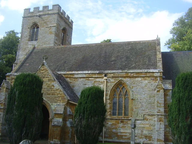
East Haddon is a village and civil parish in West Northamptonshire, England. The village is located approximately midway between the towns of Northampton and Daventry, with each town being around 8 miles to the east and west of the village respectively. East Haddon is close to Althorp, the stately home and estate of the Spencer family, and surrounded by the villages of Ravensthorpe to the north, Holdenby to the east, Great Brington to the south, and Long Buckby to the west. The village was first mentioned in the Domesday Book (1086) as Edonne, possibly meaning "heather-covered hill"; the prefix East was added in later years to distinguish it from the nearby village of West Haddon. The oldest building in the village is St Mary's Church, parts of which date from the 12th century. East Haddon Hall was built in the 18th century. The village has many thatched cottages built in the local Northampton Sand ironstone. At the time of the 2011 census, the parish's population was 643 people, down from 651 at the 2001 census.
Excerpt from Wikipedia under CC BY-SA 4.0. See the source article linked in Sources below.
- Coordinates
- 52.3106, -1.0261
- District
- West Northamptonshire
- Parish
- East Haddon
- Postcode
- NN6
- Parliamentary constituency
- Daventry
- Population
- 643
- Nearest railway station
- Long Buckby — 4.5 km
Sources
- wikidata: Q2091806 (CC0)
- wikipedia: East Haddon (CC BY-SA 4.0)
- commons: East Haddon Church - geograph.org.uk - 2106093.jpg (CC BY-SA 4.0)
Other places nearby
Loading nearby places…
Nearby
 Flagship📷 5
Towns & cities · West Midlands
Ravensthorpe
Ravensthorpe — village and civil parish in Northamptonshire, England, UK.
 📷 3
📷 3Historic churches · West Midlands
All Saints Church, Holdenby
All Saints Church, Holdenby — church in Holdenby, Northamptonshire, England, UK.
 📷 3
📷 3Gardens · West Midlands
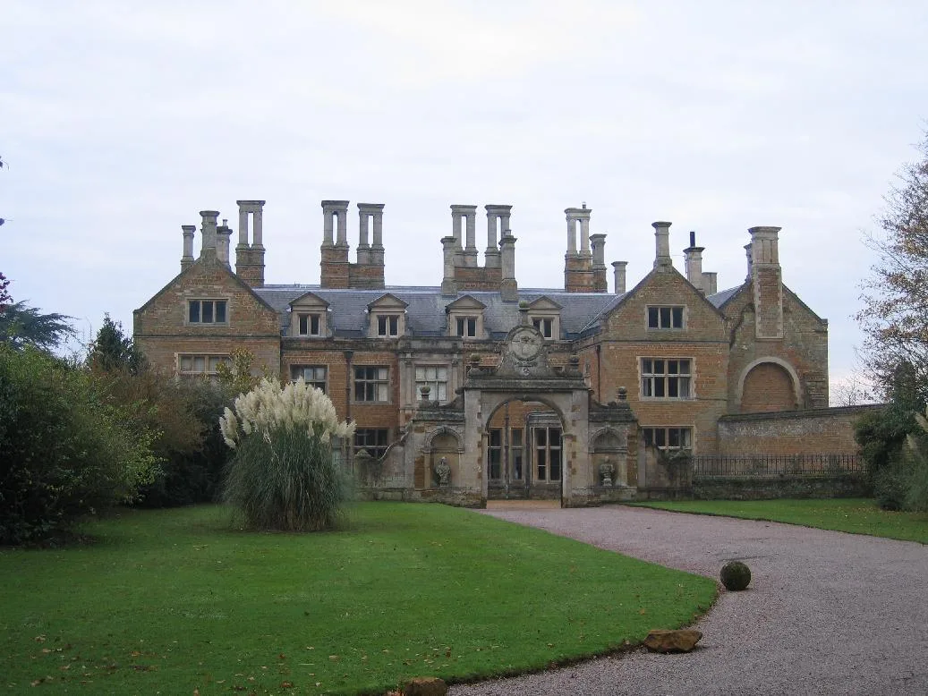
Holdenby House
Holdenby House — country house in Northamptonshire, UK.
 📷 3
📷 3Memorials & monuments · West Midlands
Holdenby House, carriage arch about 130m south east
Holdenby House, carriage arch about 130m south east — Grade I listed building-listed memorial in england-west-midlands, United Kingdom.
 📷 3
📷 3Historic houses · West Midlands
Holdenby House, Carriage Arch Approximately 130 Metres North East
Holdenby House, Carriage Arch Approximately 130 Metres North East — a Grade I-listed historic house in england-west-midlands, United Kingdom.
 📷 3
📷 3Historic houses · West Midlands
Althorp, Falconry Or Hawking Tower
Althorp, Falconry Or Hawking Tower — a Grade I-listed historic house in england-west-midlands, United Kingdom.
More towns in this region
 Flagship📷 3
Towns & cities · West Midlands
Adderbury
Adderbury — village and civil parish in Cherwell district, Oxfordshire, England.
 Flagship📷 3
Towns & cities · West Midlands
Admington
Admington — village in Warwickshire, England, UK.
 Flagship📷 3
Towns & cities · West Midlands
Aldington
Aldington — village in Worcestershire, United Kingdom.
 Flagship📷 5
Towns & cities · West Midlands
Anstey
Anstey — large village in Leicestershire, England.
Frequently asked questions
- Where is East Haddon?
- East Haddon is in the West Midlands, United Kingdom (postcode NN6), in the parish of East Haddon.
- Is East Haddon free to visit?
- Yes, East Haddon is free to enter.
- How do I get to East Haddon?
- The nearest railway station is Long Buckby, about 4.5 km away. Drivers can navigate to postcode NN6.