Beaches · South West England
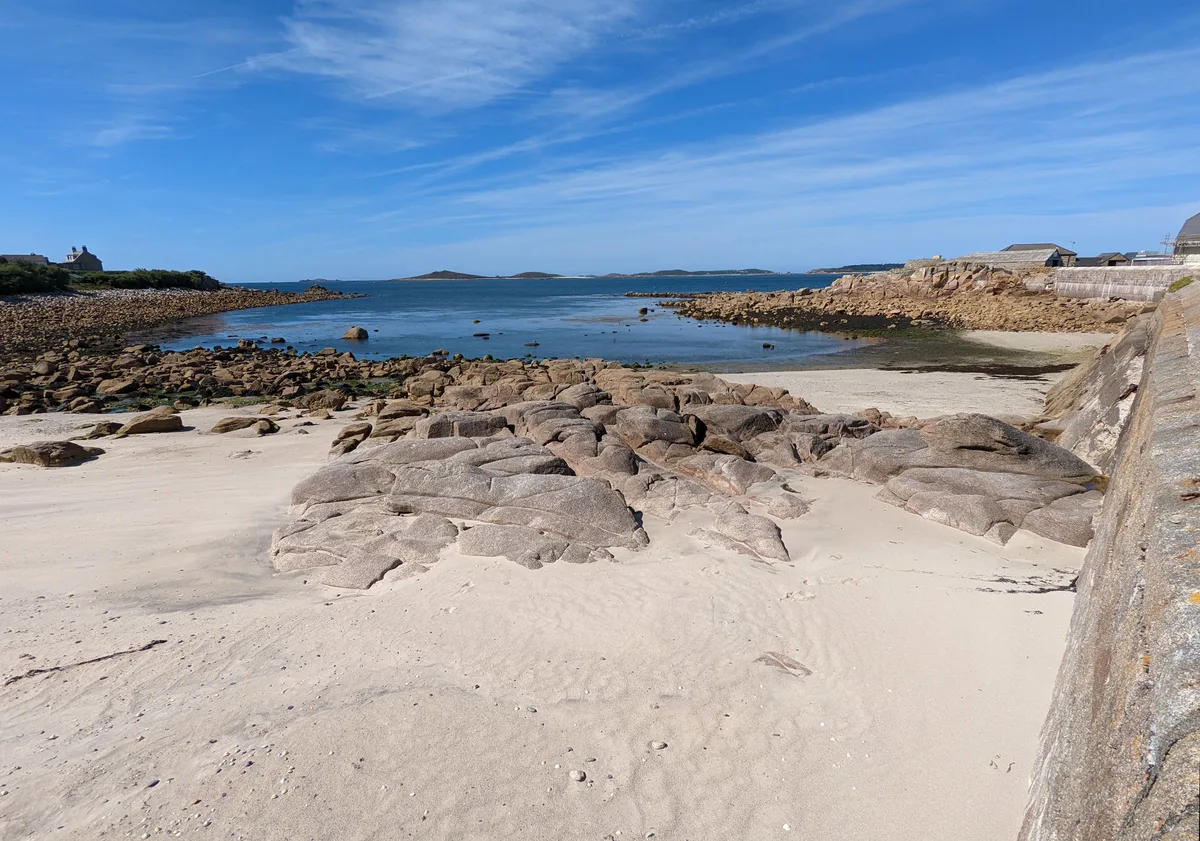
Dunster Beach
Dunster Beach is a beach in the United Kingdom.

Tony Atkin — CC BY-SA 2.0 via Wikimedia Commons licence
Plan your visit
- Typical visit
- 1 h–3 h
- Best time of year
- Summer (Jun–Aug)
- Nearest railway station
- Dunster · 0.6 km
- Free entry
- Family-friendly
- Dog-friendly
About
Dunster Beach is a named beach on the United Kingdom coastline. Coordinates: 51.1951°, -3.4304°. This entry is part of The Great Britain Guide, a free, ad-free, open-data tourist directory.
Photo gallery
From the Wikipedia article
Dunster is a village and civil parish in Somerset, England, within the north-eastern boundary of Exmoor National Park. It lies on the Bristol Channel 2.5 miles (4 km) southeast of Minehead and 20 miles (32 km) northwest of Taunton. At the 2021 census, the parish had a population of 863. There are Iron Age hillforts in the area. Saxon Dunster was a parish in the Hundred of Carhampton. In the Domesday book there are four manors within the parish: Aucome (Alcombe), Avena (Avill), Stantune (Stanton) and Torre. Torre is now the site of the village of Dunster. Torre, including the castle and two watermills, was valued at 15 shillings and Aucome 20 shillings. The village grew up around Dunster Castle which was built at Torre by the Norman warrior William I de Moyon (d. post 1090) shortly after the Norman Conquest of 1066. The castle is mentioned in the Domesday Book of 1086. From that time it was the caput of the Feudal barony of Dunster. The castle was remodelled on several occasions by the Luttrell family who were lords of the manor from the 14th to 20th centuries. The benedictine Dunster Priory was established in about 1100. The Priory Church of St George, dovecote and tithe barn are all relics from the Priory. The village became a centre for wool and cloth production and trade, of which the Yarn Market, built by George Luttrell (d.1629), is a relic. There existed formerly a harbour, known as Dunster Haven, at the mouth of the River Avill, but today, the coast having receded, it is now about one-half mile (0.80 km) from the village and no sign of the harbour can be seen on the low lying marshes between the village and the coast. Dunster has a range of heritage sites and cultural attractions which combine with the castle to make it a popular tourist destination with many visitors arriving on the West Somerset Railway, a heritage railway running from Minehead to Bishops Lydeard. The village lies on the route of the Macmillan Way West, Somerset Way and Celtic Way.
Excerpt from Wikipedia under CC BY-SA 4.0. See the source article linked in Sources below.
- Coordinates
- 51.1951, -3.4304
- District
- Somerset
- Parish
- Dunster
- Postcode
- TA24 6TH
- Parliamentary constituency
- Tiverton and Minehead
- Nearest railway station
- Dunster — 0.6 km
- Official site
- www.thebeachguide.co.uk
Sources
- osm: w666903383 (ODbL)
- wikipedia: Dunster Beach (CC BY-SA 4.0)
Other places nearby
Loading nearby places…
Nearby
 📷 3
📷 3Heritage railways · South West England
West Somerset Railway
West Somerset Railway is a heritage railway in the United Kingdom.
 📷 3
📷 3Heritage railways · South West England
West Somerset Railway
West Somerset Railway is a heritage railway in the United Kingdom.
📷 3Heritage railways · South West England
West Somerset Railway
West Somerset Railway is a heritage railway in the United Kingdom.
 📷 3
📷 3Historic bridges · South West England
Old Marsh Bridge
Old Marsh Bridge — Grade II listed building-listed bridge in england-south-west, United Kingdom.
 📷 5
📷 5Museums · South West England
River Avill
The River Avill is a small river on Exmoor in Somerset, England. It rises on the eastern slopes of Dunkery Beacon and flows north through Timberscombe and Dunster flowing into the Bristol Channel at D
 📷 5
📷 5Follies · South West England
Conygar Tower
Conygar Tower — Folly or eyecatcher.
More beaches in this region
 📷 5
📷 5Beaches · South West England
Amy's Cove
Amy's Cove is a beach in the United Kingdom.
 📷 5
📷 5Beaches · South West England
Arlo Porth
Arlo Porth is a beach in the United Kingdom.
 📷 5
📷 5Beaches · South West England
Arthur's Beach (Sunny Cove)
Arthur's Beach (Sunny Cove) is a beach in the United Kingdom.
 📷 5
📷 5Beaches · South West England
Ayrmer Cove
Ayrmer Cove is a beach in the United Kingdom.
Frequently asked questions
- Where is Dunster Beach?
- Dunster Beach is in South-West England, United Kingdom (postcode TA24 6TH), in the parish of Dunster.
- Is Dunster Beach free to visit?
- Yes, Dunster Beach is free to enter.
- How do I get to Dunster Beach?
- The nearest railway station is Dunster, about 0.6 km away. Drivers can navigate to postcode TA24 6TH.