Towns & cities · South East England
Dunkirk
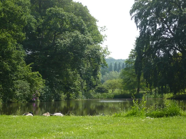
Dunkirk — village in Kent, England, United Kingdom.

Wikimedia Commons contributors — see linked file page for photographer and licence licence
Plan your visit
- Typical visit
- 3 h–6 h
- Nearest railway station
- Selling · 3.2 km
- Free entry
- Family-friendly
- Dog-friendly
About
Dunkirk is a town, city, village or settlement in the United Kingdom. Recent population estimates put it at around 1,187 people. Wikidata describes it as: "village in Kent, England, United Kingdom". Coordinates: 51.2915°, 0.9804°.
Photo gallery
Protected designations
- Area of Outstanding Natural Beauty: Kent Downs
Designations sourced from Natural England open data under OGL v3.
From the Wikipedia article
Dunkirk is a village and civil parish between Faversham and Canterbury in southeast England. It lies on the Canterbury Road between Boughton under Blean and Harbledown. This was the main Roman road from the Kentish ports to London, also known as Watling Street.
Excerpt from Wikipedia under CC BY-SA 4.0. See the source article linked in Sources below.
Background
History
In 1800, according to Edward Hasted, the village was once part of the king's ancient forest of Blean in the 'hundred of Westgate'. Eleven men died when a band of farm labourers were intercepted by a detachment of soldiers. In 2011, the villagers had an official opening of their replacement Village Hall. £230,000 was raised to pay for the new hall.
Sourced from Wikipedia under CC BY-SA 4.0.
- Coordinates
- 51.2915, 0.9804
- County
- Kent
- District
- Swale
- Parish
- Dunkirk
- Postcode
- ME13 9LG
- Parliamentary constituency
- Faversham and Mid Kent
- Population
- 1,187
- Nearest railway station
- Selling — 3.2 km
- Official site
- www.neighbourhood.statistics.gov.uk
Sources
- wikidata: Q388652 (CC0)
- wikipedia: Dunkirk, Kent (CC BY-SA 4.0)
- commons: The Red Lion Inn, Dunkirk, UK.jpg (CC BY-SA 4.0)
Other places nearby
Loading nearby places…
Nearby
 📷 5
📷 5Memorials & monuments · South East England
Dunkirk Parish War Memorial
Dunkirk Parish War Memorial — Grade II listed building-listed memorial in england-south-east, United Kingdom.
📷 5Museums · South East England
Boughton under Blean
Boughton under Blean () is a village and civil parish between Faversham and Canterbury in south-east England. "Boughton under Blean" technically refers only to the hamlet at the top of Boughton Hill;
 📷 5
📷 5Memorials & monuments · South East England
Bofors Tower, approx. 500M NNW of Christ Church
Bofors Tower, approx. 500M NNW of Christ Church — Grade II listed building-listed memorial in england-south-east, United Kingdom.
 📷 5
📷 5Memorials & monuments · South East England
Holly Hill Tower
Holly Hill Tower — a memorial in england-south-east, United Kingdom.
📷 5Memorials & monuments · South East England
Tower At 076606
Tower At 076606 — Grade II listed building-listed memorial in england-south-east, United Kingdom.
 📷 10
📷 10Gardens · South East England
Mount Ephraim Gardens
Mount Ephraim Gardens — historic house and gardens, near Faversham, in Hernhill, Swale, Kent, England, UK.
More towns in this region
 Flagship📷 10
Towns & cities · South East England
Aldermaston
Aldermaston — village and civil parish in West Berkshire in England, UK.
 Flagship📷 10
Towns & cities · South East England
Aldingbourne
Aldingbourne — village and civil parish in Arun, West Sussex, UK.
 Flagship📷 10
Towns & cities · South East England
Aldington
Aldington — village and civil parish in the Ashford District of Kent, England.
 Flagship📷 10
Towns & cities · South East England
Aldworth
Aldworth — village and civil parish in the English county of Berkshire.
Frequently asked questions
- Where is Dunkirk?
- Dunkirk is in Kent, South-East England, United Kingdom (postcode ME13 9LG), in the parish of Dunkirk.
- Is Dunkirk a protected site?
- Yes — Dunkirk is part of the Kent Downs National Landscape (AONB).
- Is Dunkirk free to visit?
- Yes, Dunkirk is free to enter.
- How do I get to Dunkirk?
- The nearest railway station is Selling, about 3.2 km away. Drivers can navigate to postcode ME13 9LG.